Property Record
214 Krause Ln, Wheeling, IL 60090

Current Lease Availabilities
NEARBY LISTINGS FOR SALE OR LEASE
Property Detail
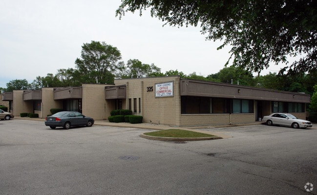
214 Krause Ln
Chicago-Naperville-Elgin, IL-IN-WI
Kraus Sub
03-02-405-027-0000
(KRAUS) SUB OF PT LTS2,5 IN RESUB GEO STRONGS FARM SE C 2 & WH SEC 1-42-11 SEC 02-42-11
Vacantlandnec
Cook
X
Illinois
17097C0270K
2,5
2023
0.87 AC
2024
Central North
802504
Chicago
DEMOGRAPHICS near 214 Krause Ln
1 Mile
3 Mile
5 Mile
2024 Total Population
8,154
90,945
236,284
2029 Population
7,907
88,906
230,953
Pop Growth 2024-2029
(3.03%)
(2.24%)
(2.26%)
Average Age
43
43
43
2024 Total Households
3,291
35,557
89,144
HH Growth 2024-2029
(3.28%)
(2.44%)
(2.52%)
Median Household Inc
$77,908
$88,419
$110,663
Avg Household Size
2.40
2.50
2.60
2024 Avg HH Vehicles
2.00
2.00
2.00
Median Home Value
$290,295
$339,126
$409,286
Median Year Built
1979
1978
1976
Nearby Places
Map Layers
Map Styles
 Street
 Aerial
- Restaurants
- Banks
- Shops
- Fitness
- Groceries
PUBLIC TRANSPORTATION
COMMUTER RAIL
Wheeling Station (North Central Service - Northeast Illinois Regional Commuter Railroad (Metra))
DRIVE
WALK
Distance
Wheeling Station (North Central Service - Northeast Illinois Regional Commuter Railroad (Metra))
3 min
1.6 mi
Buffalo Grove Station (North Central Service - Northeast Illinois Regional Commuter Railroad (Metra))
DRIVE
WALK
Distance
Buffalo Grove Station (North Central Service - Northeast Illinois Regional Commuter Railroad (Metra))
5 min
2.9 mi
AIRPORT
Chicago O'Hare International
DRIVE
WALK
Distance
Chicago O'Hare International
22 min
14.7 mi
Chicago Midway International
DRIVE
WALK
Distance
Chicago Midway International
49 min
28.1 mi
Freight Ports
Port Milwaukee
DRIVE
WALK
Distance
Port Milwaukee
78 min
65.2 mi
Nearby Properties
Address
Land Use
TOTAL SIZE
Lot Size
Zoning
Address
Land Use
TOTAL SIZE
Lot Size
Zoning
6,783,684 SF
69.84 AC
Address
Land Use
TOTAL SIZE
Lot Size
Zoning
65.17 AC
Address
Land Use
TOTAL SIZE
Lot Size
Zoning
301,050 SF
11.22 AC
Address
Land Use
TOTAL SIZE
Lot Size
Zoning
864,590 SF
2.64 AC
Address
Land Use
TOTAL SIZE
Lot Size
Zoning
21.58 AC
Address
Land Use
TOTAL SIZE
Lot Size
Zoning
Address
Land Use
TOTAL SIZE
Lot Size
Zoning
24.64 AC
Address
Land Use
TOTAL SIZE
Lot Size
Zoning
1,049,337 SF
24.57 AC
Address
Land Use
TOTAL SIZE
Lot Size
Zoning
8.21 AC
Address
Land Use
TOTAL SIZE
Lot Size
Zoning
653,040 SF
7.96 AC
Address
Land Use
TOTAL SIZE
Lot Size
Zoning
Address
Land Use
TOTAL SIZE
Lot Size
Zoning
8,586,994 SF
10.41 AC
Address
Land Use
TOTAL SIZE
Lot Size
Zoning
14.26 AC
Address
Land Use
TOTAL SIZE
Lot Size
Zoning
188,987 SF
6.65 AC
Address
Land Use
TOTAL SIZE
Lot Size
Zoning
Address
Land Use
TOTAL SIZE
Lot Size
Zoning
Address
Land Use
TOTAL SIZE
Lot Size
Zoning
186,646 SF
26.69 AC
Address
Land Use
TOTAL SIZE
Lot Size
Zoning
349,846 SF
5.11 AC
Address
Land Use
TOTAL SIZE
Lot Size
Zoning
221,786 SF
6.33 AC
Address
Land Use
TOTAL SIZE
Lot Size
Zoning
46.27 AC
Address
Land Use
TOTAL SIZE
Lot Size
Zoning
362,944 SF
12.74 AC
Address
Land Use
TOTAL SIZE
Lot Size
Zoning
Address
Land Use
TOTAL SIZE
Lot Size
Zoning
Address
Land Use
TOTAL SIZE
Lot Size
Zoning
510,569 SF
3.55 AC
Address
Land Use
TOTAL SIZE
Lot Size
Zoning
247,655 SF
12.19 AC
Address
Land Use
TOTAL SIZE
Lot Size
Zoning
105,033 SF
5.21 AC
Address
Land Use
TOTAL SIZE
Lot Size
Zoning
738,489 SF
20.24 AC
Address
Land Use
TOTAL SIZE
Lot Size
Zoning
579,858 SF
3.56 AC
Address
Land Use
TOTAL SIZE
Lot Size
Zoning
158,046 SF
5.26 AC
Address
Land Use
TOTAL SIZE
Lot Size
Zoning
20.95 AC
The World's #1 Commercial Real Estate Marketplace
Connect with us
© 2025 CoStar Group
The information above has been obtained from sources believed reliable. While we do not doubt its accuracy we have not verified it and make no guarantee, warranty or representation about it. It is your responsibility to independently confirm its accuracy and completeness. Any projections, opinions, assumptions, or estimates used are for example only and do not represent the current or future performance of the property. The value of this transaction to you depends on tax and other factors which should be evaluated by your tax, financial, and legal advisors. You and your advisors should conduct a careful, independent investigation of the property to determine to your satisfaction the suitability of the property for your needs.