Property Record
3258 Route 52, Stormville, NY 12582
NEARBY LISTINGS FOR SALE OR LEASE
Property Detail
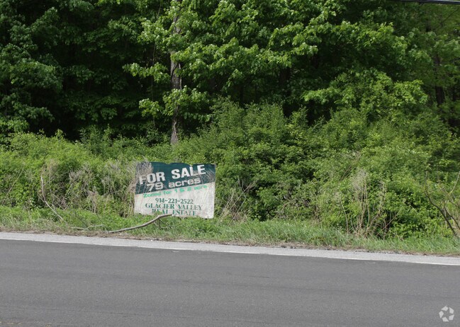
3258 Route 52
Dutchess County-Putnam County, NY
24.75 AC
132800-6656-00-350690-0000
Dutchess
Residentialacreage
New York
X
349
36079C0040E
2.60 AC
2025
Fishkill
2024
Westchester/So Connecticut
050205
DEMOGRAPHICS near 3258 Route 52
1 Mile
3 Mile
5 Mile
2024 Total Population
838
9,842
32,585
2029 Population
834
9,800
32,547
Pop Growth 2024-2029
(0.48%)
(0.43%)
(0.12%)
Average Age
42
43
42
2024 Total Households
281
2,720
10,830
HH Growth 2024-2029
(0.36%)
(0.59%)
(0.14%)
Median Household Inc
$111,585
$121,610
$119,281
Avg Household Size
2.90
2.90
2.80
2024 Avg HH Vehicles
2.00
2.00
2.00
Median Home Value
$430,120
$432,287
$413,249
Median Year Built
1991
1983
1980
Nearby Places
- Restaurants
- Banks
- Shops
- Fitness
- Groceries
PUBLIC TRANSPORTATION
COMMUTER RAIL
Patterson Station (Harlem Line - Metro-North Commuter Railroad Company (Metro-North))
DRIVE
WALK
Distance
Patterson Station (Harlem Line - Metro-North Commuter Railroad Company (Metro-North))
19 min
9.6 mi
AIRPORT
New York Stewart International
DRIVE
WALK
Distance
New York Stewart International
38 min
25.2 mi
Freight Ports
Port of New Haven
DRIVE
WALK
Distance
Port of New Haven
85 min
59.2 mi
Nearby Properties
Address
Land Use
TOTAL SIZE
Lot Size
Zoning
Address
Land Use
TOTAL SIZE
Lot Size
Zoning
303.09 AC
R-135
Address
Land Use
TOTAL SIZE
Lot Size
Zoning
7,540 SF
299 AC
R1
Address
Land Use
TOTAL SIZE
Lot Size
Zoning
0.18 AC
R-90
Address
Land Use
TOTAL SIZE
Lot Size
Zoning
0.45 AC
C-2
Address
Land Use
TOTAL SIZE
Lot Size
Zoning
0.13 AC
C-2
Address
Land Use
TOTAL SIZE
Lot Size
Zoning
3,799 SF
164.90 AC
R1/3
Address
Land Use
TOTAL SIZE
Lot Size
Zoning
5,252 SF
147.69 AC
R1
Address
Land Use
TOTAL SIZE
Lot Size
Zoning
47,380 SF
25.89 AC
I2/R3
Address
Land Use
TOTAL SIZE
Lot Size
Zoning
12,887 SF
2.10 AC
B1
Address
Land Use
TOTAL SIZE
Lot Size
Zoning
51,414 SF
5.21 AC
R1
Address
Land Use
TOTAL SIZE
Lot Size
Zoning
8,401 SF
49.09 AC
R-135
Address
Land Use
TOTAL SIZE
Lot Size
Zoning
391.20 AC
R1
Address
Land Use
TOTAL SIZE
Lot Size
Zoning
7,918 SF
194.24 AC
R-45
Address
Land Use
TOTAL SIZE
Lot Size
Zoning
0.24 AC
C-1
Address
Land Use
TOTAL SIZE
Lot Size
Zoning
20,200 SF
4.92 AC
B1/R1
Address
Land Use
TOTAL SIZE
Lot Size
Zoning
129.60 AC
R3
Address
Land Use
TOTAL SIZE
Lot Size
Zoning
1,368 SF
253.50 AC
R1/R2
Address
Land Use
TOTAL SIZE
Lot Size
Zoning
46,400 SF
8.52 AC
I-1
Address
Land Use
TOTAL SIZE
Lot Size
Zoning
31,997 SF
9.23 AC
R1
Address
Land Use
TOTAL SIZE
Lot Size
Zoning
117 AC
R3
Address
Land Use
TOTAL SIZE
Lot Size
Zoning
157.87 AC
R-45
Address
Land Use
TOTAL SIZE
Lot Size
Zoning
85.96 AC
R3
Address
Land Use
TOTAL SIZE
Lot Size
Zoning
108.18 AC
R3
Address
Land Use
TOTAL SIZE
Lot Size
Zoning
131 AC
R2
Address
Land Use
TOTAL SIZE
Lot Size
Zoning
4,417 SF
401.43 AC
R1
Address
Land Use
TOTAL SIZE
Lot Size
Zoning
12,791 SF
5.77 AC
R1
Address
Land Use
TOTAL SIZE
Lot Size
Zoning
6,705 SF
155 AC
CRD
Address
Land Use
TOTAL SIZE
Lot Size
Zoning
516,581 SF
133.57 AC
R-45
Address
Land Use
TOTAL SIZE
Lot Size
Zoning
8,764 SF
1 AC
R-90
Address
Land Use
TOTAL SIZE
Lot Size
Zoning
5,156 SF
1.30 AC
B1
The World's #1 Commercial Real Estate Marketplace
Connect with us
© 2025 CoStar Group
The information above has been obtained from sources believed reliable. While we do not doubt its accuracy we have not verified it and make no guarantee, warranty or representation about it. It is your responsibility to independently confirm its accuracy and completeness. Any projections, opinions, assumptions, or estimates used are for example only and do not represent the current or future performance of the property. The value of this transaction to you depends on tax and other factors which should be evaluated by your tax, financial, and legal advisors. You and your advisors should conduct a careful, independent investigation of the property to determine to your satisfaction the suitability of the property for your needs.