Property Record
England Dr, Rockford, IL 61109
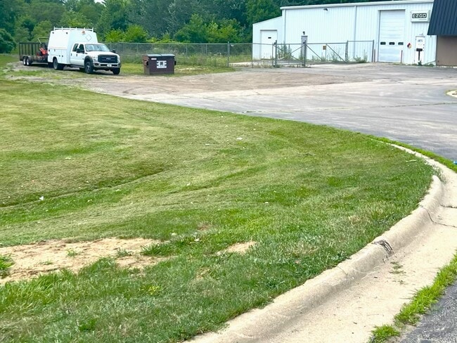
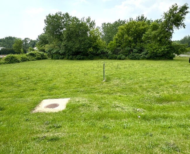
This Property Is For Sale
NEARBY LISTINGS FOR SALE OR LEASE
Property Detail
England Dr
16-05-328-019
(EXC E 70 FT TO STATE) & (EXC W 215.01FT E 285.01 FT S 125 FT N 950 FT) S 132 FT N 957 FT PT E 1/2 SW1/4 SEC SEC:5 TWP: 43 RANGE: 2 ACRES: 3.17
Commercialacreage
Winnebago
X
Illinois
17201C0381E
3.17 AC
2024
I-39 Corr/Winnebago Cnty
2024
Chicago
003706
Rockford, IL
DEMOGRAPHICS near England Dr
1 Mile
3 Mile
5 Mile
2024 Total Population
6,864
58,710
119,285
2029 Population
6,786
57,931
118,029
Pop Growth 2024-2029
(1.14%)
(1.33%)
(1.05%)
Average Age
36
39
40
2024 Total Households
2,705
23,509
49,097
HH Growth 2024-2029
(1.15%)
(1.36%)
(1.01%)
Median Household Inc
$65,078
$62,832
$60,825
Avg Household Size
2.50
2.40
2.30
2024 Avg HH Vehicles
2.00
2.00
2.00
Median Home Value
$118,963
$139,834
$148,113
Median Year Built
1972
1967
1964
Nearby Places
- Restaurants
- Banks
- Shops
- Fitness
- Groceries
PUBLIC TRANSPORTATION
AIRPORT
Chicago/Rockford International
DRIVE
WALK
Distance
Chicago/Rockford International
17 min
8.3 mi
Freight Ports
Port Milwaukee
DRIVE
WALK
Distance
Port Milwaukee
112 min
95.8 mi
Nearby Properties
Address
Land Use
TOTAL SIZE
Lot Size
Zoning
Address
Land Use
TOTAL SIZE
Lot Size
Zoning
680,704 SF
43.11 AC
R3
Address
Land Use
TOTAL SIZE
Lot Size
Zoning
920,723 SF
82.07 AC
Address
Land Use
TOTAL SIZE
Lot Size
Zoning
551,795 SF
36 AC
R3
Address
Land Use
TOTAL SIZE
Lot Size
Zoning
291,074 SF
10.97 AC
I3
Address
Land Use
TOTAL SIZE
Lot Size
Zoning
96,130 SF
12.47 AC
R2
Address
Land Use
TOTAL SIZE
Lot Size
Zoning
189,455 SF
10.99 AC
I3
Address
Land Use
TOTAL SIZE
Lot Size
Zoning
73,031 SF
10.23 AC
C1
Address
Land Use
TOTAL SIZE
Lot Size
Zoning
147,900 SF
7.78 AC
Address
Land Use
TOTAL SIZE
Lot Size
Zoning
173,193 SF
5.97 AC
I3
Address
Land Use
TOTAL SIZE
Lot Size
Zoning
77,718 SF
11.12 AC
C2
Address
Land Use
TOTAL SIZE
Lot Size
Zoning
199,330 SF
15.02 AC
CG
Address
Land Use
TOTAL SIZE
Lot Size
Zoning
136,530 SF
4 AC
R4
Address
Land Use
TOTAL SIZE
Lot Size
Zoning
79,700 SF
7.15 AC
C2
Address
Land Use
TOTAL SIZE
Lot Size
Zoning
623,379 SF
35.15 AC
I3
Address
Land Use
TOTAL SIZE
Lot Size
Zoning
104,000 SF
14.15 AC
C3
Address
Land Use
TOTAL SIZE
Lot Size
Zoning
174,318 SF
17.97 AC
Address
Land Use
TOTAL SIZE
Lot Size
Zoning
133,394 SF
14.08 AC
C3
Address
Land Use
TOTAL SIZE
Lot Size
Zoning
31,898 SF
C2
Address
Land Use
TOTAL SIZE
Lot Size
Zoning
212,574 SF
9.57 AC
I3
Address
Land Use
TOTAL SIZE
Lot Size
Zoning
150,426 SF
9.25 AC
C3
Address
Land Use
TOTAL SIZE
Lot Size
Zoning
86,720 SF
3.91 AC
R4
Address
Land Use
TOTAL SIZE
Lot Size
Zoning
61,199 SF
3.04 AC
R3
Address
Land Use
TOTAL SIZE
Lot Size
Zoning
10,970 SF
26.80 AC
R2
Address
Land Use
TOTAL SIZE
Lot Size
Zoning
584,794 SF
34.40 AC
I3
Address
Land Use
TOTAL SIZE
Lot Size
Zoning
111,311 SF
7.85 AC
I1
Address
Land Use
TOTAL SIZE
Lot Size
Zoning
41,388 SF
6.90 AC
R3
Address
Land Use
TOTAL SIZE
Lot Size
Zoning
10.92 AC
Address
Land Use
TOTAL SIZE
Lot Size
Zoning
101,519 SF
7.68 AC
C2
Address
Land Use
TOTAL SIZE
Lot Size
Zoning
85,575 SF
10.29 AC
C2
Address
Land Use
TOTAL SIZE
Lot Size
Zoning
52,340 SF
14.36 AC
The World's #1 Commercial Real Estate Marketplace
Connect with us
© 2025 CoStar Group
The information above has been obtained from sources believed reliable. While we do not doubt its accuracy we have not verified it and make no guarantee, warranty or representation about it. It is your responsibility to independently confirm its accuracy and completeness. Any projections, opinions, assumptions, or estimates used are for example only and do not represent the current or future performance of the property. The value of this transaction to you depends on tax and other factors which should be evaluated by your tax, financial, and legal advisors. You and your advisors should conduct a careful, independent investigation of the property to determine to your satisfaction the suitability of the property for your needs.