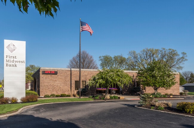
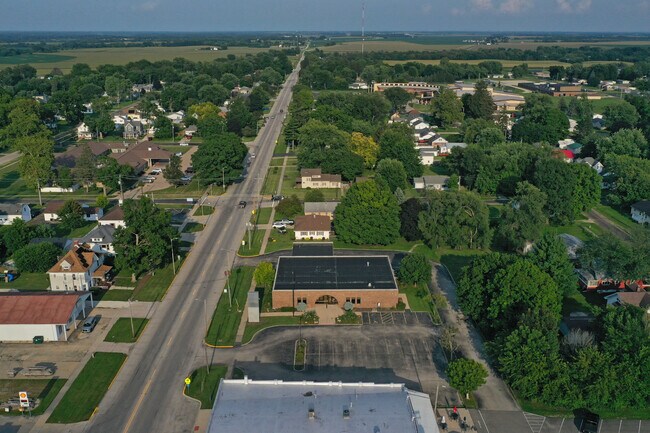
Property Record
328 E Main St, Knoxville, IL 61448

Current Lease Availabilities
Property Detail
328 E Main St
Galesburg, IL
W 8.25 FT LOT 2 & ALL LOTS 3 4 5 & 6 BLK 9
10-28-331-007
KNOX
Commercialnec
Illinois
B and X Area of moderate flood hazard, usually the area between the limits of the 100-year and 500-year floods.
2-6
2024
1.04 AC
2024
Illinois North Area
001300
Other Market Areas
NEARBY LISTINGS FOR SALE OR LEASE
-
-
View all Knoxville listings for lease on LoopNet.com
DEMOGRAPHICS near 328 E Main St
1 mile
3 mile
5 mile
2025 Total Population
2,816
4,390
13,559
2030 Population
2,773
4,332
13,409
Pop Growth 2025-2030
(1.53%)
(1.32%)
(1.11%)
Average Age
43
43
42
2025 Total Households
1,164
1,844
5,753
HH Growth 2025-2030
(1.55%)
(1.30%)
(1.11%)
Median Household Inc
$69,025
$64,875
$53,633
Avg Household Size
2.30
2.30
2.30
2025 Avg HH Vehicles
2.00
2.00
2.00
Median Home Value
$140,045
$137,381
$91,150
Median Year Built
1970
1970
1956
Nearby Places
Map Layers
Map Styles
 Street
 Aerial
Layers
 Traffic
 Biking
Places
Listings with unknown addresses are not visible on the map
- Restaurants
- Banks
- Shops
- Fitness
- Groceries
PUBLIC TRANSPORTATION
COMMUTER RAIL
Galesburg Amtrak Station (California Zephyr - Amtrak, Carl Sandburg - Amtrak, Illinois Zephyr - Amtrak, Southwest Chief - Amtrak)
Drive
Walk
Distance
Galesburg Amtrak Station (California Zephyr - Amtrak, Carl Sandburg - Amtrak, Illinois Zephyr - Amtrak, Southwest Chief - Amtrak)
9 min
5.5 mi
Freight Ports
Port Milwaukee
Drive
Walk
Distance
Port Milwaukee
268 min
239.9 mi
Nearby Properties
Address
Land Use
TOTAL SIZE
Lot Size
Zoning
Address
Land Use
TOTAL SIZE
Lot Size
Zoning
10,963 SF
18.98 AC
Address
Land Use
TOTAL SIZE
Lot Size
Zoning
103.55 AC
Address
Land Use
TOTAL SIZE
Lot Size
Zoning
4,426 SF
1 AC
Address
Land Use
TOTAL SIZE
Lot Size
Zoning
2.50 AC
Address
Land Use
TOTAL SIZE
Lot Size
Zoning
Address
Land Use
TOTAL SIZE
Lot Size
Zoning
Address
Land Use
TOTAL SIZE
Lot Size
Zoning
Address
Land Use
TOTAL SIZE
Lot Size
Zoning
16.24 AC
Address
Land Use
TOTAL SIZE
Lot Size
Zoning
Address
Land Use
TOTAL SIZE
Lot Size
Zoning
Address
Land Use
TOTAL SIZE
Lot Size
Zoning
Address
Land Use
TOTAL SIZE
Lot Size
Zoning
Address
Land Use
TOTAL SIZE
Lot Size
Zoning
Address
Land Use
TOTAL SIZE
Lot Size
Zoning
Address
Land Use
TOTAL SIZE
Lot Size
Zoning
Address
Land Use
TOTAL SIZE
Lot Size
Zoning
14.75 AC
Address
Land Use
TOTAL SIZE
Lot Size
Zoning
3,600 SF
1.59 AC
Address
Land Use
TOTAL SIZE
Lot Size
Zoning
1,280 SF
1.03 AC
Address
Land Use
TOTAL SIZE
Lot Size
Zoning
0.50 AC
Address
Land Use
TOTAL SIZE
Lot Size
Zoning
3,000 SF
6.10 AC
Address
Land Use
TOTAL SIZE
Lot Size
Zoning
27.54 AC
Address
Land Use
TOTAL SIZE
Lot Size
Zoning
1.78 AC
Address
Land Use
TOTAL SIZE
Lot Size
Zoning
10,368 SF
4.20 AC
Address
Land Use
TOTAL SIZE
Lot Size
Zoning
0.88 AC
Address
Land Use
TOTAL SIZE
Lot Size
Zoning
20,000 SF
132.02 AC
Address
Land Use
TOTAL SIZE
Lot Size
Zoning
18.13 AC
Address
Land Use
TOTAL SIZE
Lot Size
Zoning
6,000 SF
8.28 AC
Address
Land Use
TOTAL SIZE
Lot Size
Zoning
0.53 AC
Address
Land Use
TOTAL SIZE
Lot Size
Zoning
4,800 SF
109.69 AC
The World's #1 Commercial Real Estate Marketplace
Connect with us
© 2026 CoStar Group
The information above has been obtained from sources believed reliable. While we do not doubt its accuracy we have not verified it and make no guarantee, warranty or representation about it. It is your responsibility to independently confirm its accuracy and completeness. Any projections, opinions, assumptions, or estimates used are for example only and do not represent the current or future performance of the property. The value of this transaction to you depends on tax and other factors which should be evaluated by your tax, financial, and legal advisors. You and your advisors should conduct a careful, independent investigation of the property to determine to your satisfaction the suitability of the property for your needs.