Property Record
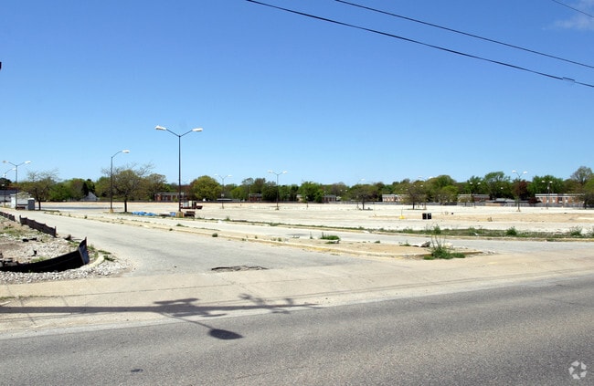
3285 Henry St, Muskegon, MI 49441

NEARBY LISTINGS FOR SALE OR LEASE
-
-
W Sherman Blvd @ Sherman Blvd. and Henry Street
Muskegon, MI 49441
$400,000 - $800,000
0.89 AC Lot
Land
-
-
-
View all Muskegon listings for sale on LoopNet.com
Property Detail
3285 Henry St
Muskegon-Norton Shores, MI
Roosevelt Park
25-001-400-0009-00
CITY OF ROOSEVELT PARK PART OF SE 1/4 SEC 1 T9N R17W DESC AS COM SE COR SEC 1 TH N 00D 10M 20S W 332.97 FT TH S 89D 28M 40
Commercialnec
Muskegon
X
Michigan
26121C0259E
12
2024
18.55 AC
2025
Muskegon Heights
002200
West Michigan
219,341 SF
DEMOGRAPHICS near 3285 Henry St
1 Mile
3 Mile
5 Mile
2024 Total Population
9,508
57,696
93,796
2029 Population
9,593
58,304
94,603
Pop Growth 2024-2029
+ 0.89%
+ 1.05%
+ 0.86%
Average Age
40
40
40
2024 Total Households
4,077
22,439
37,201
HH Growth 2024-2029
+ 0.81%
+ 1.03%
+ 0.84%
Median Household Inc
$52,716
$47,519
$49,742
Avg Household Size
2.30
2.30
2.30
2024 Avg HH Vehicles
2.00
2.00
2.00
Median Home Value
$139,540
$135,476
$144,147
Median Year Built
1962
1956
1959
Nearby Places
Map Layers
Map Styles
 Street
 Aerial
- Restaurants
- Banks
- Shops
- Fitness
- Groceries
Nearby Properties
Address
Land Use
TOTAL SIZE
Lot Size
Zoning
Address
Land Use
TOTAL SIZE
Lot Size
Zoning
6,900 SF
165.61 AC
GI
Address
Land Use
TOTAL SIZE
Lot Size
Zoning
84,452 SF
6.82 AC
PUD
Address
Land Use
TOTAL SIZE
Lot Size
Zoning
249,032 SF
19.18 AC
MFR
Address
Land Use
TOTAL SIZE
Lot Size
Zoning
184,130 SF
3.16 AC
FBC-MS
Address
Land Use
TOTAL SIZE
Lot Size
Zoning
41,382 SF
6.20 AC
PUD
Address
Land Use
TOTAL SIZE
Lot Size
Zoning
116,657 SF
1.60 AC
FBC-UR
Address
Land Use
TOTAL SIZE
Lot Size
Zoning
187,210 SF
23.22 AC
GI
Address
Land Use
TOTAL SIZE
Lot Size
Zoning
194,708 SF
15.59 AC
C-2
Address
Land Use
TOTAL SIZE
Lot Size
Zoning
19,171 SF
6.55 AC
MC
Address
Land Use
TOTAL SIZE
Lot Size
Zoning
350,378 SF
21.50 AC
GI
Address
Land Use
TOTAL SIZE
Lot Size
Zoning
68,782 SF
10.52 AC
C-2
Address
Land Use
TOTAL SIZE
Lot Size
Zoning
122.75 AC
R-2
Address
Land Use
TOTAL SIZE
Lot Size
Zoning
124,416 SF
7.41 AC
MFR
Address
Land Use
TOTAL SIZE
Lot Size
Zoning
125,478 SF
7.90 AC
WM
Address
Land Use
TOTAL SIZE
Lot Size
Zoning
110,460 SF
12.26 AC
AR-8
Address
Land Use
TOTAL SIZE
Lot Size
Zoning
212,648 SF
9.20 AC
B-2, PUD
Address
Land Use
TOTAL SIZE
Lot Size
Zoning
399,872 SF
16.99 AC
I-2
Address
Land Use
TOTAL SIZE
Lot Size
Zoning
32,811 SF
5.87 AC
B-4
Address
Land Use
TOTAL SIZE
Lot Size
Zoning
121,766 SF
10.29 AC
C-NE
Address
Land Use
TOTAL SIZE
Lot Size
Zoning
123,081 SF
8.50 AC
B-4
Address
Land Use
TOTAL SIZE
Lot Size
Zoning
224,070 SF
15.85 AC
GI
Address
Land Use
TOTAL SIZE
Lot Size
Zoning
67,896 SF
8.56 AC
B-4
Address
Land Use
TOTAL SIZE
Lot Size
Zoning
1,020 SF
90.15 AC
PUD
Address
Land Use
TOTAL SIZE
Lot Size
Zoning
51,021 SF
5.52 AC
PUD
Address
Land Use
TOTAL SIZE
Lot Size
Zoning
15,303 SF
1.84 AC
MC
Address
Land Use
TOTAL SIZE
Lot Size
Zoning
15,409 SF
2.51 AC
MC
Address
Land Use
TOTAL SIZE
Lot Size
Zoning
56,341 SF
157.70 AC
R-1
Address
Land Use
TOTAL SIZE
Lot Size
Zoning
85,440 SF
4.51 AC
SUD
Address
Land Use
TOTAL SIZE
Lot Size
Zoning
15,028 SF
1.21 AC
B-4
The World's #1 Commercial Real Estate Marketplace
Connect with us
© 2026 CoStar Group
The information above has been obtained from sources believed reliable. While we do not doubt its accuracy we have not verified it and make no guarantee, warranty or representation about it. It is your responsibility to independently confirm its accuracy and completeness. Any projections, opinions, assumptions, or estimates used are for example only and do not represent the current or future performance of the property. The value of this transaction to you depends on tax and other factors which should be evaluated by your tax, financial, and legal advisors. You and your advisors should conduct a careful, independent investigation of the property to determine to your satisfaction the suitability of the property for your needs.