Property Record
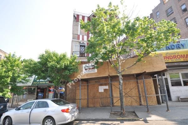
33 Bedford Park Blvd E, Bronx, NY 10468

Property Detail
33 Bedford Park Blvd E
03310-0002
Bronx
Apartment
New York
R8
2
B and X Area of moderate flood hazard, usually the area between the limits of the 100-year and 500-year floods.
0.06 AC
2024
Bronx
2025
Westchester/So Connecticut
041100
New York-Jersey City-White Plains, NY-NJ
18,469 SF
NEARBY LISTINGS FOR SALE OR LEASE
DEMOGRAPHICS near 33 Bedford Park Blvd E
1 mile
3 mile
5 mile
2025 Total Population
174,757
997,844
1,912,228
2030 Population
173,771
981,818
1,895,060
Pop Growth 2025-2030
(0.56%)
(1.61%)
(0.90%)
Average Age
38
39
39
2025 Total Households
60,413
354,508
694,510
HH Growth 2025-2030
(0.93%)
(1.83%)
(0.96%)
Median Household Inc
$47,081
$51,911
$52,426
Avg Household Size
2.70
2.60
2.60
2025 Avg HH Vehicles
.00
1.00
1.00
Median Home Value
$228,346
$533,077
$531,158
Median Year Built
1947
1949
1952
Nearby Places
Map Layers
Map Styles
 Street
 Aerial
Transit
 Traffic
 Biking
Places
Listings with unknown addresses are not visible on the map
- Restaurants
- Banks
- Shops
- Fitness
- Groceries
PUBLIC TRANSPORTATION
TRANSIT/SUBWAY
Bedford Park Boulevard (B - New York MTA Subway (The Subway), D - New York MTA Subway (The Subway))
Drive
Walk
Distance
Bedford Park Boulevard (B - New York MTA Subway (The Subway), D - New York MTA Subway (The Subway))
1 min
3 min
0.2 mi
Bedford Park Boulevard-Lehman College (4 - New York MTA Subway (The Subway))
Drive
Walk
Distance
Bedford Park Boulevard-Lehman College (4 - New York MTA Subway (The Subway))
2 min
6 min
0.3 mi
Kingsbridge Road (B,D Line) (B - New York MTA Subway (The Subway), D - New York MTA Subway (The Subway))
Drive
Walk
Distance
Kingsbridge Road (B,D Line) (B - New York MTA Subway (The Subway), D - New York MTA Subway (The Subway))
3 min
11 min
0.5 mi
Mosholu Parkway (4 - New York MTA Subway (The Subway))
Drive
Walk
Distance
Mosholu Parkway (4 - New York MTA Subway (The Subway))
2 min
11 min
0.5 mi
205 Street-Norwood (D - New York MTA Subway (The Subway))
Drive
Walk
Distance
205 Street-Norwood (D - New York MTA Subway (The Subway))
3 min
15 min
0.8 mi
COMMUTER RAIL
Botanical Garden Station (Harlem Line - Metro-North Commuter Railroad Company (Metro-North))
Drive
Walk
Distance
Botanical Garden Station (Harlem Line - Metro-North Commuter Railroad Company (Metro-North))
3 min
12 min
0.6 mi
Fordham Station (Harlem Line - Metro-North Commuter Railroad Company (Metro-North), New Haven Line - Metro-North Commuter Railroad Company (Metro-North))
Drive
Walk
Distance
Fordham Station (Harlem Line - Metro-North Commuter Railroad Company (Metro-North), New Haven Line - Metro-North Commuter Railroad Company (Metro-North))
4 min
1.5 mi
AIRPORT
LaGuardia
Drive
Walk
Distance
LaGuardia
24 min
12.1 mi
John F Kennedy International
Drive
Walk
Distance
John F Kennedy International
33 min
20.7 mi
Westchester County
Drive
Walk
Distance
Westchester County
34 min
22.0 mi
Freight Ports
NY - Red Hook Container Terminal
Drive
Walk
Distance
NY - Red Hook Container Terminal
36 min
20.2 mi
SALE & LEASE HISTORY
LISTING DATE
SALE/LEASE

Sep 24, 2016
For Sale
The World's #1 Commercial Real Estate Marketplace
Connect with us
© 2026 CoStar Group
The information above has been obtained from sources believed reliable. While we do not doubt its accuracy we have not verified it and make no guarantee, warranty or representation about it. It is your responsibility to independently confirm its accuracy and completeness. Any projections, opinions, assumptions, or estimates used are for example only and do not represent the current or future performance of the property. The value of this transaction to you depends on tax and other factors which should be evaluated by your tax, financial, and legal advisors. You and your advisors should conduct a careful, independent investigation of the property to determine to your satisfaction the suitability of the property for your needs.