Property Record
33 N Moorpark Rd, Thousand Oaks, CA 91360

NEARBY LISTINGS FOR SALE OR LEASE
Property Detail
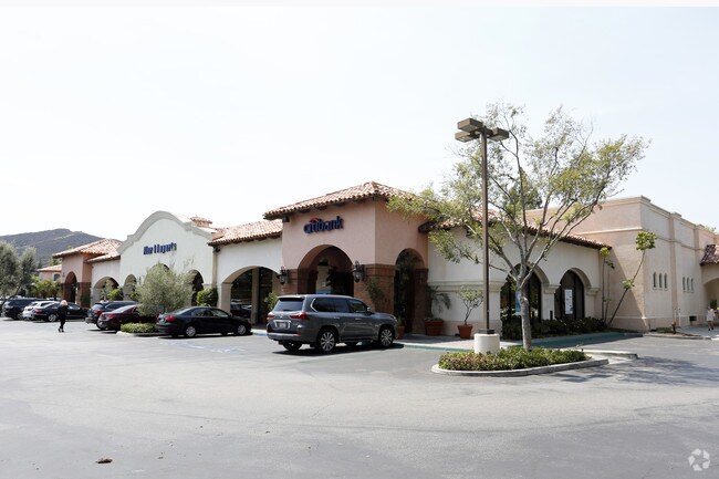
33 N Moorpark Rd
525-0-020-485
Pacel Map Ld253
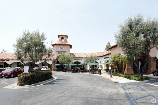
Regionalshoppingcenterormallwithanchorstore
REF: 20 PM 51
X
Ventura
06111C0967E
California
2024
3.60 AC
2025
Thousand Oaks/SE County
006900
Los Angeles
37,381 SF
Oxnard-Thousand Oaks-Ventura, CA
DEMOGRAPHICS near 33 N Moorpark Rd
1 Mile
3 Mile
5 Mile
2024 Total Population
10,750
70,905
132,682
2029 Population
10,645
69,821
130,779
Pop Growth 2024-2029
(0.98%)
(1.53%)
(1.43%)
Average Age
42
42
44
2024 Total Households
4,310
25,748
48,811
HH Growth 2024-2029
(1.04%)
(1.60%)
(1.53%)
Median Household Inc
$73,727
$107,832
$121,092
Avg Household Size
2.40
2.60
2.60
2024 Avg HH Vehicles
2.00
2.00
2.00
Median Home Value
$739,263
$791,575
$854,777
Median Year Built
1974
1974
1976
Nearby Places
Map Layers
Map Styles
 Street
 Aerial
- Restaurants
- Banks
- Shops
- Fitness
- Groceries
PUBLIC TRANSPORTATION
AIRPORT
Bob Hope
DRIVE
WALK
Distance
Bob Hope
46 min
34.8 mi
Los Angeles International
DRIVE
WALK
Distance
Los Angeles International
55 min
42.9 mi
Freight Ports
The Port of Hueneme
DRIVE
WALK
Distance
The Port of Hueneme
32 min
22.1 mi
Nearby Properties
Address
Land Use
TOTAL SIZE
Lot Size
Zoning
Address
Land Use
TOTAL SIZE
Lot Size
Zoning
2.08 AC
Address
Land Use
TOTAL SIZE
Lot Size
Zoning
13.12 AC
PL
Address
Land Use
TOTAL SIZE
Lot Size
Zoning
Address
Land Use
TOTAL SIZE
Lot Size
Zoning
3.87 AC
Address
Land Use
TOTAL SIZE
Lot Size
Zoning
5.25 AC
Address
Land Use
TOTAL SIZE
Lot Size
Zoning
239,224 SF
11.65 AC
Address
Land Use
TOTAL SIZE
Lot Size
Zoning
253,686 SF
13.69 AC
RPD2
Address
Land Use
TOTAL SIZE
Lot Size
Zoning
Address
Land Use
TOTAL SIZE
Lot Size
Zoning
233,391 SF
11.71 AC
RPD2
Address
Land Use
TOTAL SIZE
Lot Size
Zoning
Address
Land Use
TOTAL SIZE
Lot Size
Zoning
199,586 SF
8.95 AC
RPD25
Address
Land Use
TOTAL SIZE
Lot Size
Zoning
15,596 SF
3.17 AC
C2
Address
Land Use
TOTAL SIZE
Lot Size
Zoning
182,756 SF
8.88 AC
RPD1
Address
Land Use
TOTAL SIZE
Lot Size
Zoning
162,078 SF
9.05 AC
R3
Address
Land Use
TOTAL SIZE
Lot Size
Zoning
Address
Land Use
TOTAL SIZE
Lot Size
Zoning
49,559 SF
2.87 AC
M1
Address
Land Use
TOTAL SIZE
Lot Size
Zoning
10.32 AC
PL
Address
Land Use
TOTAL SIZE
Lot Size
Zoning
1.94 AC
Address
Land Use
TOTAL SIZE
Lot Size
Zoning
177,503 SF
5.36 AC
Address
Land Use
TOTAL SIZE
Lot Size
Zoning
26,654 SF
17.84 AC
C3
Address
Land Use
TOTAL SIZE
Lot Size
Zoning
2.07 AC
Address
Land Use
TOTAL SIZE
Lot Size
Zoning
127,196 SF
10.18 AC
MULT
Address
Land Use
TOTAL SIZE
Lot Size
Zoning
6,606 SF
5.42 AC
M1
Address
Land Use
TOTAL SIZE
Lot Size
Zoning
90,194 SF
4.12 AC
Address
Land Use
TOTAL SIZE
Lot Size
Zoning
73,421 SF
2.66 AC
C2
Address
Land Use
TOTAL SIZE
Lot Size
Zoning
3.15 AC
Address
Land Use
TOTAL SIZE
Lot Size
Zoning
74,757 SF
9.01 AC
Address
Land Use
TOTAL SIZE
Lot Size
Zoning
Address
Land Use
TOTAL SIZE
Lot Size
Zoning
68,015 SF
1.22 AC
Address
Land Use
TOTAL SIZE
Lot Size
Zoning
89,664 SF
5.03 AC
R-3
The World's #1 Commercial Real Estate Marketplace
Connect with us
© 2025 CoStar Group
The information above has been obtained from sources believed reliable. While we do not doubt its accuracy we have not verified it and make no guarantee, warranty or representation about it. It is your responsibility to independently confirm its accuracy and completeness. Any projections, opinions, assumptions, or estimates used are for example only and do not represent the current or future performance of the property. The value of this transaction to you depends on tax and other factors which should be evaluated by your tax, financial, and legal advisors. You and your advisors should conduct a careful, independent investigation of the property to determine to your satisfaction the suitability of the property for your needs.