Property Record
33 Pigeon St, Waynesville, NC 28786
Current Lease Availabilities
NEARBY LISTINGS FOR SALE OR LEASE
Property Detail
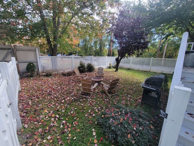
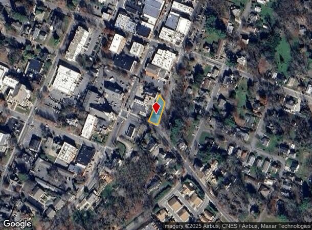
33 Pigeon St
Asheville, NC
Survey Of Shook Surveying
8615-36-2508
Haywood
Singlefamilyresidentialassumed
North Carolina
X
0.22 AC
3700861500J
Haywood County
775 SF
Asheville
DEMOGRAPHICS near 33 Pigeon St
1 Mile
3 Mile
5 Mile
2024 Total Population
4,863
16,782
28,593
2029 Population
4,842
16,864
28,885
Pop Growth 2024-2029
(0.43%)
+ 0.49%
+ 1.02%
Average Age
45
46
47
2024 Total Households
2,222
7,565
12,870
HH Growth 2024-2029
(0.50%)
+ 0.40%
+ 1.01%
Median Household Inc
$49,181
$55,242
$58,272
Avg Household Size
2.10
2.10
2.20
2024 Avg HH Vehicles
2.00
2.00
2.00
Median Home Value
$273,627
$297,767
$303,983
Median Year Built
1966
1975
1981
Nearby Places
- Restaurants
- Banks
- Shops
- Fitness
- Groceries
PUBLIC TRANSPORTATION
AIRPORT
Asheville Regional
DRIVE
WALK
Distance
Asheville Regional
46 min
34.9 mi
Freight Ports
North Charleston Terminal
DRIVE
WALK
Distance
North Charleston Terminal
318 min
278.6 mi
Nearby Properties
Address
Land Use
TOTAL SIZE
Lot Size
Zoning
Address
Land Use
TOTAL SIZE
Lot Size
Zoning
3,330 SF
3.73 AC
Address
Land Use
TOTAL SIZE
Lot Size
Zoning
1,500 SF
294.65 AC
Address
Land Use
TOTAL SIZE
Lot Size
Zoning
2,756 SF
41.15 AC
PCND
Address
Land Use
TOTAL SIZE
Lot Size
Zoning
23,615 SF
7.17 AC
Address
Land Use
TOTAL SIZE
Lot Size
Zoning
3,017 SF
12.62 AC
SWND
Address
Land Use
TOTAL SIZE
Lot Size
Zoning
180,806 SF
17.13 AC
HCAC
Address
Land Use
TOTAL SIZE
Lot Size
Zoning
127,545 SF
12.45 AC
HCAC
Address
Land Use
TOTAL SIZE
Lot Size
Zoning
5,509 SF
7.12 AC
Address
Land Use
TOTAL SIZE
Lot Size
Zoning
37,508 SF
3.44 AC
DJAC
Address
Land Use
TOTAL SIZE
Lot Size
Zoning
16,764 SF
8.28 AC
HND
Address
Land Use
TOTAL SIZE
Lot Size
Zoning
87,969 SF
19.78 AC
RATC
Address
Land Use
TOTAL SIZE
Lot Size
Zoning
19,943 SF
13.52 AC
Address
Land Use
TOTAL SIZE
Lot Size
Zoning
94,031 SF
16.74 AC
RATC
Address
Land Use
TOTAL SIZE
Lot Size
Zoning
25,344 SF
1.16 AC
CBD
Address
Land Use
TOTAL SIZE
Lot Size
Zoning
3,248 SF
95.06 AC
CCND
Address
Land Use
TOTAL SIZE
Lot Size
Zoning
115,911 SF
16.92 AC
Address
Land Use
TOTAL SIZE
Lot Size
Zoning
71,831 SF
5.83 AC
SMBD
Address
Land Use
TOTAL SIZE
Lot Size
Zoning
49,732 SF
6.63 AC
Address
Land Use
TOTAL SIZE
Lot Size
Zoning
71,321 SF
19.56 AC
PCND
Address
Land Use
TOTAL SIZE
Lot Size
Zoning
13,608 SF
22.01 AC
RCND
Address
Land Use
TOTAL SIZE
Lot Size
Zoning
52,904 SF
23.08 AC
HMND
Address
Land Use
TOTAL SIZE
Lot Size
Zoning
277,784 SF
35.12 AC
HTD
Address
Land Use
TOTAL SIZE
Lot Size
Zoning
124,013 SF
11.81 AC
RATC
Address
Land Use
TOTAL SIZE
Lot Size
Zoning
7,020 SF
2.22 AC
CBD
Address
Land Use
TOTAL SIZE
Lot Size
Zoning
4,368 SF
1.49 AC
MSND
Address
Land Use
TOTAL SIZE
Lot Size
Zoning
119,364 SF
8.05 AC
RATC
Address
Land Use
TOTAL SIZE
Lot Size
Zoning
10,754 SF
0.49 AC
CBD
Address
Land Use
TOTAL SIZE
Lot Size
Zoning
48,438 SF
5.25 AC
Address
Land Use
TOTAL SIZE
Lot Size
Zoning
63,864 SF
5.57 AC
Address
Land Use
TOTAL SIZE
Lot Size
Zoning
4,800 SF
6.01 AC
HTC
The World's #1 Commercial Real Estate Marketplace
Connect with us
© 2025 CoStar Group
The information above has been obtained from sources believed reliable. While we do not doubt its accuracy we have not verified it and make no guarantee, warranty or representation about it. It is your responsibility to independently confirm its accuracy and completeness. Any projections, opinions, assumptions, or estimates used are for example only and do not represent the current or future performance of the property. The value of this transaction to you depends on tax and other factors which should be evaluated by your tax, financial, and legal advisors. You and your advisors should conduct a careful, independent investigation of the property to determine to your satisfaction the suitability of the property for your needs.