Property Record
33 Wolcott Rd, Wolcott, CT 06716
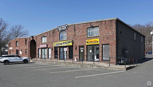


Property Detail
33 Wolcott Rd
WOLC-000109-000004-000018
NEW HAVEN
Commercialbuilding
Connecticut
IND
18
B and X Area of moderate flood hazard, usually the area between the limits of the 100-year and 500-year floods.
0.50 AC
2025
Waterbury
2025
Westchester/So Connecticut
361200
New Haven, CT
13,485 SF
NEARBY LISTINGS FOR SALE OR LEASE
DEMOGRAPHICS near 33 Wolcott Rd
1 mile
3 mile
5 mile
2025 Total Population
5,787
88,619
156,371
2030 Population
5,952
90,568
160,010
Pop Growth 2025-2030
+ 2.85%
+ 2.20%
+ 2.33%
Average Age
40
39
40
2025 Total Households
2,468
34,373
60,720
HH Growth 2025-2030
+ 2.84%
+ 2.29%
+ 2.37%
Median Household Inc
$51,146
$49,315
$62,989
Avg Household Size
2.30
2.50
2.50
2025 Avg HH Vehicles
1.00
1.00
2.00
Median Home Value
$251,749
$233,836
$255,181
Median Year Built
1973
1958
1962
Nearby Places
Map Layers
Map Styles
 Street
 Aerial
Transit
 Traffic
 Biking
Places
Listings with unknown addresses are not visible on the map
- Restaurants
- Banks
- Shops
- Fitness
- Groceries
PUBLIC TRANSPORTATION
COMMUTER RAIL
Waterbury Station (New Haven Line - Metro-North Commuter Railroad Company (Metro-North))
Drive
Walk
Distance
Waterbury Station (New Haven Line - Metro-North Commuter Railroad Company (Metro-North))
8 min
3.7 mi
Naugatuck Station (New Haven Line - Metro-North Commuter Railroad Company (Metro-North))
Drive
Walk
Distance
Naugatuck Station (New Haven Line - Metro-North Commuter Railroad Company (Metro-North))
13 min
7.9 mi
AIRPORT
Tweed/New Haven
Drive
Walk
Distance
Tweed/New Haven
46 min
28.8 mi
Bradley International
Drive
Walk
Distance
Bradley International
68 min
39.1 mi
Freight Ports
Port of New Haven
Drive
Walk
Distance
Port of New Haven
42 min
26.5 mi
SALE & LEASE HISTORY
LISTING DATE
SALE/LEASE

Sep 25, 2016
For Lease
Apr 06, 2022
For Lease
The World's #1 Commercial Real Estate Marketplace
Connect with us
© 2026 CoStar Group
The information above has been obtained from sources believed reliable. While we do not doubt its accuracy we have not verified it and make no guarantee, warranty or representation about it. It is your responsibility to independently confirm its accuracy and completeness. Any projections, opinions, assumptions, or estimates used are for example only and do not represent the current or future performance of the property. The value of this transaction to you depends on tax and other factors which should be evaluated by your tax, financial, and legal advisors. You and your advisors should conduct a careful, independent investigation of the property to determine to your satisfaction the suitability of the property for your needs.