Property Record
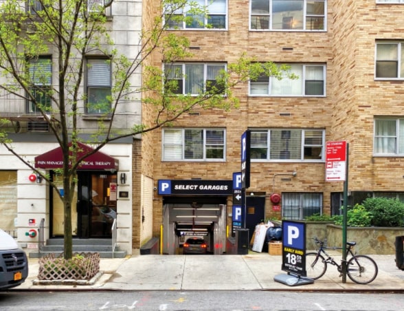
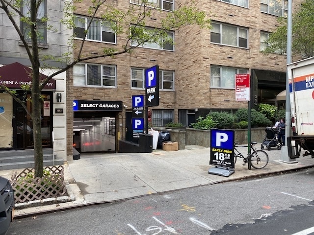
330 E 49Th St, New York, NY 10017

This Property Is For Sale
NEARBY LISTINGS FOR SALE OR LEASE
Property Detail
330 E 49Th St
New York-Jersey City-White Plains, NY-NJ
Beekman East Condo
1341-1022
Manhattan
Condominium
New York
X
Plaza District
3604970089F
New York City
615 SF
DEMOGRAPHICS near 330 E 49Th St
1 Mile
3 Mile
5 Mile
2024 Total Population
156,252
1,298,904
2,991,673
2029 Population
145,866
1,213,863
2,814,449
Pop Growth 2024-2029
(6.65%)
(6.55%)
(5.92%)
Average Age
42
41
39
2024 Total Households
87,671
659,950
1,326,423
HH Growth 2024-2029
(6.82%)
(6.78%)
(6.25%)
Median Household Inc
$137,526
$106,209
$88,857
Avg Household Size
1.70
1.90
2.10
2024 Avg HH Vehicles
.00
.00
.00
Median Home Value
$949,103
$977,998
$866,360
Median Year Built
1963
1956
1956
Nearby Places
Map Layers
Map Styles
 Street
 Aerial
- Restaurants
- Banks
- Shops
- Fitness
- Groceries
PUBLIC TRANSPORTATION
TRANSIT/SUBWAY
53 Street (N - New York MTA Subway (The Subway), R - New York MTA Subway (The Subway))
DRIVE
WALK
Distance
53 Street (N - New York MTA Subway (The Subway), R - New York MTA Subway (The Subway))
2 min
5 min
0.3 mi
45 Street (N - New York MTA Subway (The Subway), R - New York MTA Subway (The Subway))
DRIVE
WALK
Distance
45 Street (N - New York MTA Subway (The Subway), R - New York MTA Subway (The Subway))
1 min
6 min
0.3 mi
59 Street (N,R Line) (N - New York MTA Subway (The Subway), R - New York MTA Subway (The Subway))
DRIVE
WALK
Distance
59 Street (N,R Line) (N - New York MTA Subway (The Subway), R - New York MTA Subway (The Subway))
3 min
11 min
0.6 mi
36 Street (D,M,N,R Line) (D - New York MTA Subway (The Subway), M - New York MTA Subway (The Subway), N - New York MTA Subway (The Subway), R - New York MTA Subway (The Subway))
DRIVE
WALK
Distance
36 Street (D,M,N,R Line) (D - New York MTA Subway (The Subway), M - New York MTA Subway (The Subway), N - New York MTA Subway (The Subway), R - New York MTA Subway (The Subway))
2 min
15 min
0.8 mi
COMMUTER RAIL
Atlantic Terminal (Babylon Branch - Long Island Rail Road, City Terminal Zone - Long Island Rail Road, Hempstead Branch - Long Island Rail Road, West Hempstead Branch - Long Island Rail Road)
DRIVE
WALK
Distance
Atlantic Terminal (Babylon Branch - Long Island Rail Road, City Terminal Zone - Long Island Rail Road, Hempstead Branch - Long Island Rail Road, West Hempstead Branch - Long Island Rail Road)
10 min
3.7 mi
St George (Staten Island Railway - New York MTA Subway (The Subway))
DRIVE
WALK
Distance
St George (Staten Island Railway - New York MTA Subway (The Subway))
19 min
8.8 mi
AIRPORT
LaGuardia
DRIVE
WALK
Distance
LaGuardia
26 min
14.3 mi
John F Kennedy International
DRIVE
WALK
Distance
John F Kennedy International
28 min
15.2 mi
Newark Liberty International
DRIVE
WALK
Distance
Newark Liberty International
31 min
17.7 mi
Freight Ports
NY - Red Hook Container Terminal
DRIVE
WALK
Distance
NY - Red Hook Container Terminal
7 min
3.2 mi
Nearby Properties
Address
Land Use
TOTAL SIZE
Lot Size
Zoning
Address
Land Use
TOTAL SIZE
Lot Size
Zoning
92,440 SF
466.23 AC
R5
Address
Land Use
TOTAL SIZE
Lot Size
Zoning
393.54 AC
PARK
Address
Land Use
TOTAL SIZE
Lot Size
Zoning
1,524,659 SF
170.96 AC
R4
Address
Land Use
TOTAL SIZE
Lot Size
Zoning
577,381 SF
3.19 AC
R6
Address
Land Use
TOTAL SIZE
Lot Size
Zoning
902,000 SF
6.44 AC
M3-1
Address
Land Use
TOTAL SIZE
Lot Size
Zoning
965,600 SF
6.65 AC
R5
Address
Land Use
TOTAL SIZE
Lot Size
Zoning
460,000 SF
3.21 AC
R6
Address
Land Use
TOTAL SIZE
Lot Size
Zoning
335,800 SF
1.51 AC
R6
Address
Land Use
TOTAL SIZE
Lot Size
Zoning
1,324,592 SF
5.13 AC
M3-1
Address
Land Use
TOTAL SIZE
Lot Size
Zoning
397,354 SF
0.61 AC
C5-2
Address
Land Use
TOTAL SIZE
Lot Size
Zoning
427,208 SF
1.30 AC
R6
Address
Land Use
TOTAL SIZE
Lot Size
Zoning
393,092 SF
1.07 AC
R8A
Address
Land Use
TOTAL SIZE
Lot Size
Zoning
371,139 SF
3.22 AC
R5
Address
Land Use
TOTAL SIZE
Lot Size
Zoning
5,359,400 SF
59.07 AC
M2-1
Address
Land Use
TOTAL SIZE
Lot Size
Zoning
286,000 SF
12.63 AC
PARK
Address
Land Use
TOTAL SIZE
Lot Size
Zoning
1,785,288 SF
22.38 AC
M2-1
Address
Land Use
TOTAL SIZE
Lot Size
Zoning
3,970,000 SF
91.14 AC
M3-1
Address
Land Use
TOTAL SIZE
Lot Size
Zoning
1,466,751 SF
24.79 AC
R5
Address
Land Use
TOTAL SIZE
Lot Size
Zoning
689,850 SF
3.08 AC
M3-1
Address
Land Use
TOTAL SIZE
Lot Size
Zoning
336,534 SF
47.78 AC
M1-1
Address
Land Use
TOTAL SIZE
Lot Size
Zoning
673,895 SF
3.22 AC
M3-1
Address
Land Use
TOTAL SIZE
Lot Size
Zoning
323,193 SF
2.05 AC
M14R72
Address
Land Use
TOTAL SIZE
Lot Size
Zoning
206,640 SF
3.21 AC
R6
Address
Land Use
TOTAL SIZE
Lot Size
Zoning
1,112,855 SF
3.52 AC
M3-1
Address
Land Use
TOTAL SIZE
Lot Size
Zoning
623,117 SF
4.16 AC
M3-1
Address
Land Use
TOTAL SIZE
Lot Size
Zoning
218,840 SF
2.52 AC
R6B
Address
Land Use
TOTAL SIZE
Lot Size
Zoning
171,591 SF
0.14 AC
C5-2
Address
Land Use
TOTAL SIZE
Lot Size
Zoning
478,268 SF
4.04 AC
M3-1
Address
Land Use
TOTAL SIZE
Lot Size
Zoning
581,250 SF
3.22 AC
M3-1
Address
Land Use
TOTAL SIZE
Lot Size
Zoning
254,214 SF
1.35 AC
M14R72
The World's #1 Commercial Real Estate Marketplace
Connect with us
© 2026 CoStar Group
The information above has been obtained from sources believed reliable. While we do not doubt its accuracy we have not verified it and make no guarantee, warranty or representation about it. It is your responsibility to independently confirm its accuracy and completeness. Any projections, opinions, assumptions, or estimates used are for example only and do not represent the current or future performance of the property. The value of this transaction to you depends on tax and other factors which should be evaluated by your tax, financial, and legal advisors. You and your advisors should conduct a careful, independent investigation of the property to determine to your satisfaction the suitability of the property for your needs.