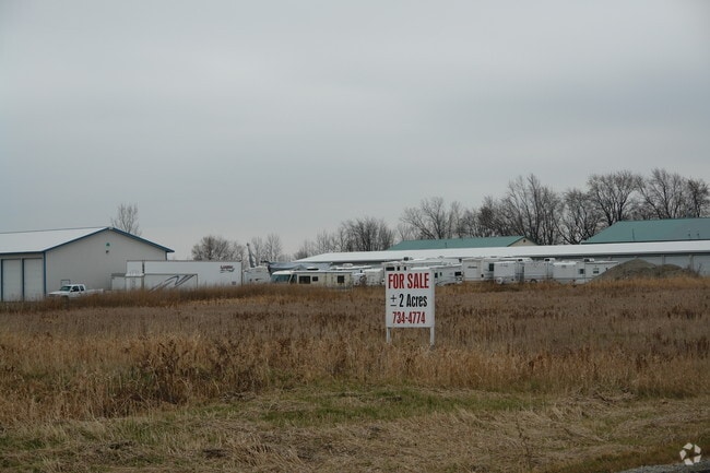
Property Record
3300 N Mayflower Dr, Appleton, WI 54913

Property Detail
3300 N Mayflower Dr
Appleton, WI
CSM 1058 PRT LOT 2 (PLATTED OUT OF PRT NW SW SEC18-21-17) 5.19AC M/L DR DIST 4.25AC
10-1-0808-03
Outagamie
Commercialnec
Wisconsin
B and X Area of moderate flood hazard, usually the area between the limits of the 100-year and 500-year floods.
2
2024
4.39 AC
2024
Outagamie County
012505
Green Bay
36,930 SF
NEARBY LISTINGS FOR SALE OR LEASE
DEMOGRAPHICS near 3300 N Mayflower Dr
1 mile
3 mile
5 mile
2025 Total Population
2,487
23,836
75,010
2030 Population
2,558
24,544
76,479
Pop Growth 2025-2030
+ 2.85%
+ 2.97%
+ 1.96%
Average Age
41
40
40
2025 Total Households
936
9,703
30,931
HH Growth 2025-2030
+ 2.88%
+ 2.89%
+ 1.90%
Median Household Inc
$114,464
$99,327
$86,665
Avg Household Size
2.60
2.40
2.30
2025 Avg HH Vehicles
2.00
2.00
2.00
Median Home Value
$350,147
$334,601
$283,903
Median Year Built
2005
1996
1982
Nearby Places
Map Layers
Map Styles
 Street
 Aerial
Layers
 Traffic
 Biking
Places
Listings with unknown addresses are not visible on the map
- Restaurants
- Banks
- Shops
- Fitness
- Groceries
PUBLIC TRANSPORTATION
AIRPORT
Appleton International
Drive
Walk
Distance
Appleton International
19 min
9.2 mi
Green Bay/Austin Straubel International
Drive
Walk
Distance
Green Bay/Austin Straubel International
43 min
31.0 mi
Freight Ports
Port Milwaukee
Drive
Walk
Distance
Port Milwaukee
132 min
111.0 mi
Nearby Properties
Address
Land Use
TOTAL SIZE
Lot Size
Zoning
Address
Land Use
TOTAL SIZE
Lot Size
Zoning
500,700 SF
47.17 AC
Address
Land Use
TOTAL SIZE
Lot Size
Zoning
18.34 AC
Address
Land Use
TOTAL SIZE
Lot Size
Zoning
23.68 AC
Address
Land Use
TOTAL SIZE
Lot Size
Zoning
37,900 SF
0.67 AC
Address
Land Use
TOTAL SIZE
Lot Size
Zoning
148,743 SF
17.58 AC
Address
Land Use
TOTAL SIZE
Lot Size
Zoning
15.06 AC
Address
Land Use
TOTAL SIZE
Lot Size
Zoning
15,560 SF
15.24 AC
Address
Land Use
TOTAL SIZE
Lot Size
Zoning
34,232 SF
18.18 AC
Address
Land Use
TOTAL SIZE
Lot Size
Zoning
30.16 AC
Address
Land Use
TOTAL SIZE
Lot Size
Zoning
194,738 SF
19.73 AC
Address
Land Use
TOTAL SIZE
Lot Size
Zoning
22.26 AC
Address
Land Use
TOTAL SIZE
Lot Size
Zoning
39,510 SF
7.73 AC
Address
Land Use
TOTAL SIZE
Lot Size
Zoning
189,722 SF
21.52 AC
Address
Land Use
TOTAL SIZE
Lot Size
Zoning
97,355 SF
7.99 AC
Address
Land Use
TOTAL SIZE
Lot Size
Zoning
14.03 AC
Address
Land Use
TOTAL SIZE
Lot Size
Zoning
348,970 SF
17.82 AC
Address
Land Use
TOTAL SIZE
Lot Size
Zoning
46,610 SF
4.85 AC
Address
Land Use
TOTAL SIZE
Lot Size
Zoning
48.13 AC
Address
Land Use
TOTAL SIZE
Lot Size
Zoning
36.03 AC
Address
Land Use
TOTAL SIZE
Lot Size
Zoning
47,262 SF
16.53 AC
Address
Land Use
TOTAL SIZE
Lot Size
Zoning
13,660 SF
0.29 AC
Address
Land Use
TOTAL SIZE
Lot Size
Zoning
38,186 SF
2.83 AC
Address
Land Use
TOTAL SIZE
Lot Size
Zoning
88,145 SF
7.38 AC
Address
Land Use
TOTAL SIZE
Lot Size
Zoning
71,040 SF
6.78 AC
Address
Land Use
TOTAL SIZE
Lot Size
Zoning
13,252 SF
0.29 AC
Address
Land Use
TOTAL SIZE
Lot Size
Zoning
17,888 SF
0.29 AC
Address
Land Use
TOTAL SIZE
Lot Size
Zoning
30.38 AC
Address
Land Use
TOTAL SIZE
Lot Size
Zoning
Address
Land Use
TOTAL SIZE
Lot Size
Zoning
31,435 SF
8.74 AC
Address
Land Use
TOTAL SIZE
Lot Size
Zoning
The World's #1 Commercial Real Estate Marketplace
Connect with us
© 2026 CoStar Group
The information above has been obtained from sources believed reliable. While we do not doubt its accuracy we have not verified it and make no guarantee, warranty or representation about it. It is your responsibility to independently confirm its accuracy and completeness. Any projections, opinions, assumptions, or estimates used are for example only and do not represent the current or future performance of the property. The value of this transaction to you depends on tax and other factors which should be evaluated by your tax, financial, and legal advisors. You and your advisors should conduct a careful, independent investigation of the property to determine to your satisfaction the suitability of the property for your needs.