Property Record
3300 Preston Pl, New Orleans, LA 70131


NEARBY LISTINGS FOR SALE OR LEASE
-
-
View all New Orleans listings for sale on LoopNet.com
Property Detail
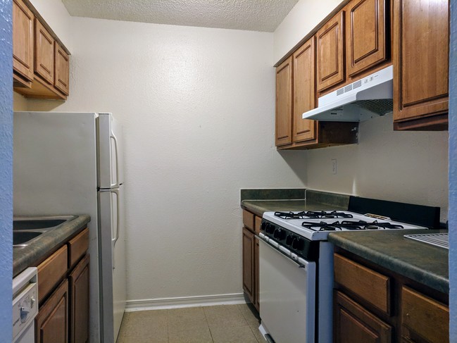
3300 Preston Pl
New Orleans-Metairie, LA
Holly Park
5-13-8-326-05
HOLLY PK SEC 1 A SQ 145 AN IRREGULAR TRACT AS RR PT THIS SQ DESIGNATED LOT X2A OR 21, APPROX 3.348 ACRES 3300 PRESTON PL
Apartment
Orleans
X
Louisiana
22087C0486D
21
2025
3.35 AC
2025
New Aurora
000611
New Orleans/Metairie/Kenner
72,616 SF
DEMOGRAPHICS near 3300 Preston Pl
1 Mile
3 Mile
5 Mile
2024 Total Population
8,203
67,541
162,678
2029 Population
7,806
65,872
158,874
Pop Growth 2024-2029
(4.84%)
(2.47%)
(2.34%)
Average Age
41
38
39
2024 Total Households
3,030
25,750
63,333
HH Growth 2024-2029
(5.05%)
(2.78%)
(2.58%)
Median Household Inc
$46,141
$50,395
$50,148
Avg Household Size
2.50
2.50
2.50
2024 Avg HH Vehicles
2.00
2.00
2.00
Median Home Value
$169,148
$181,895
$198,821
Median Year Built
1972
1973
1972
Nearby Places
Map Layers
Map Styles
 Street
 Aerial
- Restaurants
- Banks
- Shops
- Fitness
- Groceries
PUBLIC TRANSPORTATION
COMMUTER RAIL
DRIVE
WALK
Distance
15 min
6.9 mi
AIRPORT
Louis Armstrong New Orleans International
DRIVE
WALK
Distance
Louis Armstrong New Orleans International
33 min
21.3 mi
Freight Ports
Plaquemines Port
DRIVE
WALK
Distance
Plaquemines Port
15 min
6.6 mi
SALE & LEASE HISTORY
LISTING DATE
SALE/LEASE

Apr 11, 2019
For Sale
Nearby Properties
Address
Land Use
TOTAL SIZE
Lot Size
Zoning
Address
Land Use
TOTAL SIZE
Lot Size
Zoning
Address
Land Use
TOTAL SIZE
Lot Size
Zoning
85,568 SF
23.74 AC
MU-1
Address
Land Use
TOTAL SIZE
Lot Size
Zoning
109,688 SF
8.77 AC
S-RM1
Address
Land Use
TOTAL SIZE
Lot Size
Zoning
Address
Land Use
TOTAL SIZE
Lot Size
Zoning
14.40 AC
Address
Land Use
TOTAL SIZE
Lot Size
Zoning
140,772 SF
9.01 AC
S-RS
Address
Land Use
TOTAL SIZE
Lot Size
Zoning
Address
Land Use
TOTAL SIZE
Lot Size
Zoning
4.40 AC
Address
Land Use
TOTAL SIZE
Lot Size
Zoning
Address
Land Use
TOTAL SIZE
Lot Size
Zoning
Address
Land Use
TOTAL SIZE
Lot Size
Zoning
147,253 SF
9.95 AC
S-RM1
Address
Land Use
TOTAL SIZE
Lot Size
Zoning
Address
Land Use
TOTAL SIZE
Lot Size
Zoning
16.84 AC
EC
Address
Land Use
TOTAL SIZE
Lot Size
Zoning
228,859 SF
23.59 AC
C-3
Address
Land Use
TOTAL SIZE
Lot Size
Zoning
8.11 AC
EC
Address
Land Use
TOTAL SIZE
Lot Size
Zoning
159,090 SF
23.56 AC
Address
Land Use
TOTAL SIZE
Lot Size
Zoning
2,160 SF
267.42 AC
A1
Address
Land Use
TOTAL SIZE
Lot Size
Zoning
Address
Land Use
TOTAL SIZE
Lot Size
Zoning
Address
Land Use
TOTAL SIZE
Lot Size
Zoning
30.04 AC
A1
Address
Land Use
TOTAL SIZE
Lot Size
Zoning
2.06 AC
EC
Address
Land Use
TOTAL SIZE
Lot Size
Zoning
Address
Land Use
TOTAL SIZE
Lot Size
Zoning
6,540 SF
116 AC
OS-R
Address
Land Use
TOTAL SIZE
Lot Size
Zoning
53,964 SF
8.06 AC
S-RS
Address
Land Use
TOTAL SIZE
Lot Size
Zoning
Address
Land Use
TOTAL SIZE
Lot Size
Zoning
574,842 SF
53.74 AC
S-RM1
Address
Land Use
TOTAL SIZE
Lot Size
Zoning
0.92 AC
Address
Land Use
TOTAL SIZE
Lot Size
Zoning
Address
Land Use
TOTAL SIZE
Lot Size
Zoning
9.39 AC
R1A
Address
Land Use
TOTAL SIZE
Lot Size
Zoning
364.71 AC
A1
The World's #1 Commercial Real Estate Marketplace
Connect with us
© 2026 CoStar Group
The information above has been obtained from sources believed reliable. While we do not doubt its accuracy we have not verified it and make no guarantee, warranty or representation about it. It is your responsibility to independently confirm its accuracy and completeness. Any projections, opinions, assumptions, or estimates used are for example only and do not represent the current or future performance of the property. The value of this transaction to you depends on tax and other factors which should be evaluated by your tax, financial, and legal advisors. You and your advisors should conduct a careful, independent investigation of the property to determine to your satisfaction the suitability of the property for your needs.