Property Record
3301 Medford St, Los Angeles, CA 90063


NEARBY LISTINGS FOR SALE OR LEASE
Property Detail
3301 Medford St
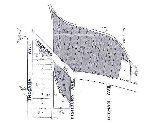
5224-006-022
LOT 1 TR=8093 AND POR OF LOTS 31, 35-39 AND ALL LOTS 32, 33, 34 BLK B TR=6333
Warehouse
Los Angeles
X
California
06037C1637F
7.50 AC
2024
Central Los Angeles
2025
Los Angeles
530700
Los Angeles-Long Beach-Glendale, CA
198,958 SF
DEMOGRAPHICS near 3301 Medford St
1 Mile
3 Mile
5 Mile
2024 Total Population
30,031
283,543
792,422
2029 Population
28,851
272,809
764,367
Pop Growth 2024-2029
(3.93%)
(3.79%)
(3.54%)
Average Age
37
38
39
2024 Total Households
8,359
84,868
272,988
HH Growth 2024-2029
(4.21%)
(4.00%)
(3.47%)
Median Household Inc
$60,935
$62,075
$65,943
Avg Household Size
3.40
3.10
2.70
2024 Avg HH Vehicles
2.00
2.00
2.00
Median Home Value
$692,843
$723,985
$780,499
Median Year Built
1949
1952
1957
Nearby Places
Map Layers
Map Styles
 Street
 Aerial
- Restaurants
- Banks
- Shops
- Fitness
- Groceries
PUBLIC TRANSPORTATION
COMMUTER RAIL
DRIVE
WALK
Distance
7 min
4.1 mi
Union Station (91 Line - Southern California Regional Rail Authority (Metrolink), Antelope Valley Line - Southern California Regional Rail Authority (Metrolink), Orange County Line - Southern California Regional Rail Authority (Metrolink), Riverside Line - Southern California Regional Rail Authority (Metrolink), San Bernardino Line - Southern California Regional Rail Authority (Metrolink), Ventura County Line - Southern California Regional Rail Authority (Metrolink))
DRIVE
WALK
Distance
Union Station (91 Line - Southern California Regional Rail Authority (Metrolink), Antelope Valley Line - Southern California Regional Rail Authority (Metrolink), Orange County Line - Southern California Regional Rail Authority (Metrolink), Riverside Line - Southern California Regional Rail Authority (Metrolink), San Bernardino Line - Southern California Regional Rail Authority (Metrolink), Ventura County Line - Southern California Regional Rail Authority (Metrolink))
9 min
4.2 mi
AIRPORT
Bob Hope
DRIVE
WALK
Distance
Bob Hope
27 min
18.7 mi
Long Beach (Daugherty Field)
DRIVE
WALK
Distance
Long Beach (Daugherty Field)
32 min
22.1 mi
Los Angeles International
DRIVE
WALK
Distance
Los Angeles International
33 min
23.3 mi
Freight Ports
Port of Long Beach
DRIVE
WALK
Distance
Port of Long Beach
35 min
24.0 mi
Nearby Properties
Address
Land Use
TOTAL SIZE
Lot Size
Zoning
Address
Land Use
TOTAL SIZE
Lot Size
Zoning
816,046 SF
15.37 AC
LAA1
Address
Land Use
TOTAL SIZE
Lot Size
Zoning
635,233 SF
12.02 AC
LAR5
Address
Land Use
TOTAL SIZE
Lot Size
Zoning
513,825 SF
4.28 AC
LAC2
Address
Land Use
TOTAL SIZE
Lot Size
Zoning
444,139 SF
3.63 AC
LAM3
Address
Land Use
TOTAL SIZE
Lot Size
Zoning
534,225 SF
Address
Land Use
TOTAL SIZE
Lot Size
Zoning
460,590 SF
23.95 AC
ALMPD*
Address
Land Use
TOTAL SIZE
Lot Size
Zoning
535,949 SF
5.85 AC
LAM3
Address
Land Use
TOTAL SIZE
Lot Size
Zoning
327,061 SF
2.18 AC
LAM3
Address
Land Use
TOTAL SIZE
Lot Size
Zoning
322,080 SF
2.85 AC
LAC2
Address
Land Use
TOTAL SIZE
Lot Size
Zoning
175.69 AC
LAA1
Address
Land Use
TOTAL SIZE
Lot Size
Zoning
328,737 SF
7.92 AC
LAC2
Address
Land Use
TOTAL SIZE
Lot Size
Zoning
642,160 SF
8.26 AC
LAADP
Address
Land Use
TOTAL SIZE
Lot Size
Zoning
368,058 SF
2.65 AC
LAUC (CA)
Address
Land Use
TOTAL SIZE
Lot Size
Zoning
354,299 SF
2.18 AC
LAC2
Address
Land Use
TOTAL SIZE
Lot Size
Zoning
150,608 SF
0.88 AC
LAC2
Address
Land Use
TOTAL SIZE
Lot Size
Zoning
397,866 SF
3.51 AC
LAM3
Address
Land Use
TOTAL SIZE
Lot Size
Zoning
276,452 SF
1.21 AC
LAM3
Address
Land Use
TOTAL SIZE
Lot Size
Zoning
225,923 SF
1.31 AC
LAR5
Address
Land Use
TOTAL SIZE
Lot Size
Zoning
119,455 SF
5.04 AC
LACM
Address
Land Use
TOTAL SIZE
Lot Size
Zoning
252,559 SF
2.87 AC
LAC2
Address
Land Use
TOTAL SIZE
Lot Size
Zoning
195,526 SF
2.81 AC
LAADP
Address
Land Use
TOTAL SIZE
Lot Size
Zoning
285,189 SF
1.58 AC
LAC2
Address
Land Use
TOTAL SIZE
Lot Size
Zoning
329,063 SF
0.23 AC
LAC2
Address
Land Use
TOTAL SIZE
Lot Size
Zoning
172,072 SF
1.82 AC
LAC2
Address
Land Use
TOTAL SIZE
Lot Size
Zoning
75,589 SF
0.98 AC
LAC2
Address
Land Use
TOTAL SIZE
Lot Size
Zoning
1,086,660 SF
26.15 AC
LAM3
Address
Land Use
TOTAL SIZE
Lot Size
Zoning
116,109 SF
0.92 AC
LACM
Address
Land Use
TOTAL SIZE
Lot Size
Zoning
112,242 SF
1.64 AC
LAM3
Address
Land Use
TOTAL SIZE
Lot Size
Zoning
65,252 SF
0.58 AC
LAM3
The World's #1 Commercial Real Estate Marketplace
Connect with us
© 2026 CoStar Group
The information above has been obtained from sources believed reliable. While we do not doubt its accuracy we have not verified it and make no guarantee, warranty or representation about it. It is your responsibility to independently confirm its accuracy and completeness. Any projections, opinions, assumptions, or estimates used are for example only and do not represent the current or future performance of the property. The value of this transaction to you depends on tax and other factors which should be evaluated by your tax, financial, and legal advisors. You and your advisors should conduct a careful, independent investigation of the property to determine to your satisfaction the suitability of the property for your needs.