Property Record
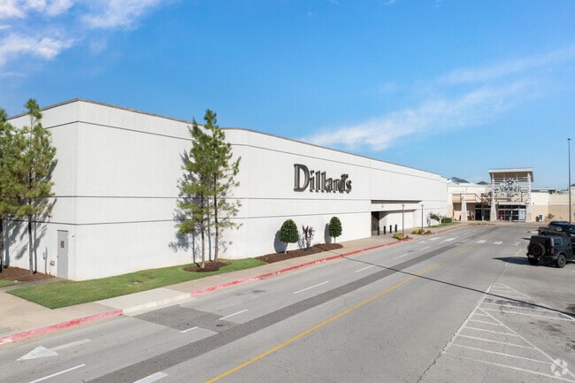
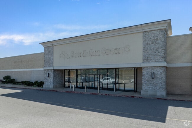
3301 W Main St, Norman, OK 73072

Property Detail
3301 W Main St
R0189921
SOONER MALL REPLAT LT 1 BLK 1
Regionalshoppingcenterormallwithanchorstore
CLEVELAND
C2
Oklahoma
B and X Area of moderate flood hazard, usually the area between the limits of the 100-year and 500-year floods.
1
2025
32.37 AC
2025
Norman
201512
Oklahoma City
443,969 SF
Oklahoma City, OK
NEARBY LISTINGS FOR SALE OR LEASE
DEMOGRAPHICS near 3301 W Main St
1 mile
3 mile
5 mile
2025 Total Population
9,334
55,044
113,499
2030 Population
9,527
56,382
116,818
Pop Growth 2025-2030
+ 2.07%
+ 2.43%
+ 2.92%
Average Age
42
38
37
2025 Total Households
4,085
21,346
45,054
HH Growth 2025-2030
+ 2.13%
+ 2.70%
+ 3.08%
Median Household Inc
$66,763
$65,260
$63,052
Avg Household Size
2.20
2.20
2.30
2025 Avg HH Vehicles
2.00
2.00
2.00
Median Home Value
$302,712
$285,989
$276,339
Median Year Built
1985
1980
1986
Nearby Places
Map Layers
Map Styles
 Street
 Aerial
Layers
 Traffic
 Biking
Places
Listings with unknown addresses are not visible on the map
- Restaurants
- Banks
- Shops
- Fitness
- Groceries
PUBLIC TRANSPORTATION
COMMUTER RAIL
Norman Amtrak Station (Heartland Flyer - Amtrak)
Drive
Walk
Distance
Norman Amtrak Station (Heartland Flyer - Amtrak)
7 min
2.9 mi
AIRPORT
Will Rogers World
Drive
Walk
Distance
Will Rogers World
32 min
20.8 mi
Freight Ports
Tulsa Port Of Catoosa
Drive
Walk
Distance
Tulsa Port Of Catoosa
154 min
140.1 mi
SALE & LEASE HISTORY
LISTING DATE
SALE/LEASE

May 12, 2017
For Lease
Mar 14, 2017
For Lease
Nearby Properties
Address
Land Use
TOTAL SIZE
Lot Size
Zoning
Address
Land Use
TOTAL SIZE
Lot Size
Zoning
24.50 AC
Address
Land Use
TOTAL SIZE
Lot Size
Zoning
40,799 SF
3.07 AC
Address
Land Use
TOTAL SIZE
Lot Size
Zoning
4.86 AC
Address
Land Use
TOTAL SIZE
Lot Size
Zoning
18,644 SF
2.16 AC
CO
Address
Land Use
TOTAL SIZE
Lot Size
Zoning
174,742 SF
26.71 AC
Address
Land Use
TOTAL SIZE
Lot Size
Zoning
60,000 SF
4.39 AC
RM
Address
Land Use
TOTAL SIZE
Lot Size
Zoning
30.47 AC
Address
Land Use
TOTAL SIZE
Lot Size
Zoning
191,169 SF
6.30 AC
I2
Address
Land Use
TOTAL SIZE
Lot Size
Zoning
32,789 SF
9.50 AC
I1
Address
Land Use
TOTAL SIZE
Lot Size
Zoning
0.41 AC
R2
Address
Land Use
TOTAL SIZE
Lot Size
Zoning
Address
Land Use
TOTAL SIZE
Lot Size
Zoning
Address
Land Use
TOTAL SIZE
Lot Size
Zoning
292,511 SF
6.20 AC
Address
Land Use
TOTAL SIZE
Lot Size
Zoning
36,922 SF
6.21 AC
Address
Land Use
TOTAL SIZE
Lot Size
Zoning
39,801 SF
8.28 AC
Address
Land Use
TOTAL SIZE
Lot Size
Zoning
11,391 SF
1.10 AC
Address
Land Use
TOTAL SIZE
Lot Size
Zoning
35,127 SF
2.34 AC
C2
Address
Land Use
TOTAL SIZE
Lot Size
Zoning
3,188 SF
0.05 AC
R2
Address
Land Use
TOTAL SIZE
Lot Size
Zoning
277,311 SF
5.88 AC
Address
Land Use
TOTAL SIZE
Lot Size
Zoning
5,764 SF
7.92 AC
Address
Land Use
TOTAL SIZE
Lot Size
Zoning
18,768 SF
2.43 AC
CO
Address
Land Use
TOTAL SIZE
Lot Size
Zoning
20,270 SF
1.17 AC
R1
Address
Land Use
TOTAL SIZE
Lot Size
Zoning
77,626 SF
9.18 AC
Address
Land Use
TOTAL SIZE
Lot Size
Zoning
0.40 AC
R2
Address
Land Use
TOTAL SIZE
Lot Size
Zoning
21.82 AC
Address
Land Use
TOTAL SIZE
Lot Size
Zoning
1.07 AC
C2
Address
Land Use
TOTAL SIZE
Lot Size
Zoning
52,485 SF
10.31 AC
Address
Land Use
TOTAL SIZE
Lot Size
Zoning
151,249 SF
15.85 AC
The World's #1 Commercial Real Estate Marketplace
Connect with us
© 2026 CoStar Group
The information above has been obtained from sources believed reliable. While we do not doubt its accuracy we have not verified it and make no guarantee, warranty or representation about it. It is your responsibility to independently confirm its accuracy and completeness. Any projections, opinions, assumptions, or estimates used are for example only and do not represent the current or future performance of the property. The value of this transaction to you depends on tax and other factors which should be evaluated by your tax, financial, and legal advisors. You and your advisors should conduct a careful, independent investigation of the property to determine to your satisfaction the suitability of the property for your needs.