Property Record
3305 Nw 32Nd Ave, Miami, FL 33142


Current Lease Availabilities
NEARBY LISTINGS FOR SALE OR LEASE
Property Detail
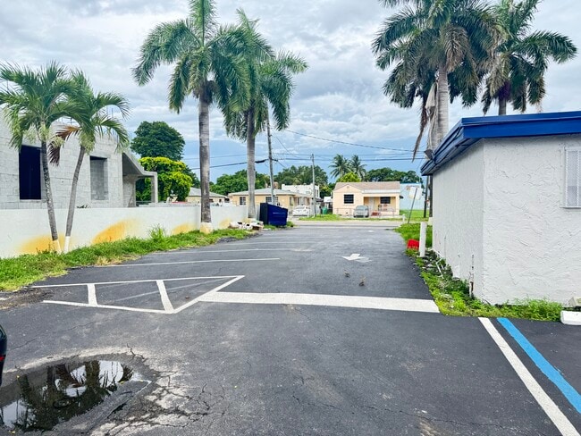
3305 Nw 32Nd Ave
Miami-Miami Beach-Kendall, FL
Melrose Hgts 4Th Sec
30-3128-013-0220
MELROSE HGTS 4TH SEC PB 17-21 LOT 13 BLK 42 LOT SIZE 50.000 X 138 OR16870-0341/18999-2603 0200 2(2)
Restaurantbuilding
Miami/Dade
AE
Florida
12086C0311L
13
2024
0.16 AC
2025
Miami
001705
South Florida
2,866 SF
DEMOGRAPHICS near 3305 Nw 32Nd Ave
1 Mile
3 Mile
5 Mile
2024 Total Population
15,323
228,035
642,955
2029 Population
14,734
222,147
630,712
Pop Growth 2024-2029
(3.84%)
(2.58%)
(1.90%)
Average Age
40
42
42
2024 Total Households
5,035
82,395
255,343
HH Growth 2024-2029
(4.37%)
(2.87%)
(1.92%)
Median Household Inc
$37,534
$35,514
$49,765
Avg Household Size
2.90
2.60
2.40
2024 Avg HH Vehicles
2.00
1.00
1.00
Median Home Value
$292,812
$320,435
$393,265
Median Year Built
1964
1965
1973
Nearby Places
Map Layers
Map Styles
 Street
 Aerial
- Restaurants
- Banks
- Shops
- Fitness
- Groceries
PUBLIC TRANSPORTATION
COMMUTER RAIL
Brownsville (Metrorail Green Line - Miami-Dade Transit (Metrorail/Metromover))
DRIVE
WALK
Distance
Brownsville (Metrorail Green Line - Miami-Dade Transit (Metrorail/Metromover))
5 min
1.6 mi
Hialeah Market (Tri-County Commuter - South Florida Regional Transportation Authority (Tri-Rail))
DRIVE
WALK
Distance
Hialeah Market (Tri-County Commuter - South Florida Regional Transportation Authority (Tri-Rail))
5 min
1.6 mi
AIRPORT
Miami International
DRIVE
WALK
Distance
Miami International
16 min
5.9 mi
Fort Lauderdale/Hollywood International
DRIVE
WALK
Distance
Fort Lauderdale/Hollywood International
34 min
23.2 mi
Freight Ports
Port of Miami
DRIVE
WALK
Distance
Port of Miami
14 min
7.2 mi
Nearby Properties
Address
Land Use
TOTAL SIZE
Lot Size
Zoning
Address
Land Use
TOTAL SIZE
Lot Size
Zoning
955,966 SF
38.91 AC
9600
Address
Land Use
TOTAL SIZE
Lot Size
Zoning
928,000 SF
14.30 AC
8000
Address
Land Use
TOTAL SIZE
Lot Size
Zoning
16.13 AC
6100
Address
Land Use
TOTAL SIZE
Lot Size
Zoning
2,789,683 SF
33.23 AC
7300
Address
Land Use
TOTAL SIZE
Lot Size
Zoning
2,403,353 SF
7.37 AC
6100
Address
Land Use
TOTAL SIZE
Lot Size
Zoning
256,089 SF
20.35 AC
7600
Address
Land Use
TOTAL SIZE
Lot Size
Zoning
570,694 SF
1.37 AC
4604
Address
Land Use
TOTAL SIZE
Lot Size
Zoning
996,100 SF
3.58 AC
9600
Address
Land Use
TOTAL SIZE
Lot Size
Zoning
627,685 SF
2.06 AC
6100
Address
Land Use
TOTAL SIZE
Lot Size
Zoning
328,554 SF
668.26 AC
8900
Address
Land Use
TOTAL SIZE
Lot Size
Zoning
428,154 SF
1.39 AC
6101
Address
Land Use
TOTAL SIZE
Lot Size
Zoning
596,081 SF
4.33 AC
9600
Address
Land Use
TOTAL SIZE
Lot Size
Zoning
1,700 SF
7.24 AC
7100
Address
Land Use
TOTAL SIZE
Lot Size
Zoning
1,212,604 SF
10.50 AC
9600
Address
Land Use
TOTAL SIZE
Lot Size
Zoning
648,350 SF
9.78 AC
6118
Address
Land Use
TOTAL SIZE
Lot Size
Zoning
526,358 SF
3.62 AC
6100
Address
Land Use
TOTAL SIZE
Lot Size
Zoning
545,220 SF
15.32 AC
6100
Address
Land Use
TOTAL SIZE
Lot Size
Zoning
498,242 SF
2.69 AC
6100
Address
Land Use
TOTAL SIZE
Lot Size
Zoning
480,664 SF
26.03 AC
9600
Address
Land Use
TOTAL SIZE
Lot Size
Zoning
474,561 SF
1.69 AC
6100
Address
Land Use
TOTAL SIZE
Lot Size
Zoning
466,402 SF
2.22 AC
6106
Address
Land Use
TOTAL SIZE
Lot Size
Zoning
948,568 SF
6.20 AC
5005
Address
Land Use
TOTAL SIZE
Lot Size
Zoning
499,370 SF
1.45 AC
7000
Address
Land Use
TOTAL SIZE
Lot Size
Zoning
306,775 SF
29.70 AC
7000
Address
Land Use
TOTAL SIZE
Lot Size
Zoning
451,817 SF
6400
Address
Land Use
TOTAL SIZE
Lot Size
Zoning
2 SF
154.10 AC
8900
Address
Land Use
TOTAL SIZE
Lot Size
Zoning
619,411 SF
7.33 AC
9600
Address
Land Use
TOTAL SIZE
Lot Size
Zoning
885,374 SF
20.59 AC
7300
Address
Land Use
TOTAL SIZE
Lot Size
Zoning
561,195 SF
2.66 AC
6100
Address
Land Use
TOTAL SIZE
Lot Size
Zoning
393,093 SF
3.61 AC
6400
The World's #1 Commercial Real Estate Marketplace
Connect with us
© 2025 CoStar Group
The information above has been obtained from sources believed reliable. While we do not doubt its accuracy we have not verified it and make no guarantee, warranty or representation about it. It is your responsibility to independently confirm its accuracy and completeness. Any projections, opinions, assumptions, or estimates used are for example only and do not represent the current or future performance of the property. The value of this transaction to you depends on tax and other factors which should be evaluated by your tax, financial, and legal advisors. You and your advisors should conduct a careful, independent investigation of the property to determine to your satisfaction the suitability of the property for your needs.