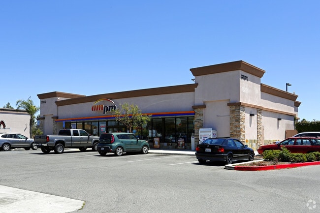
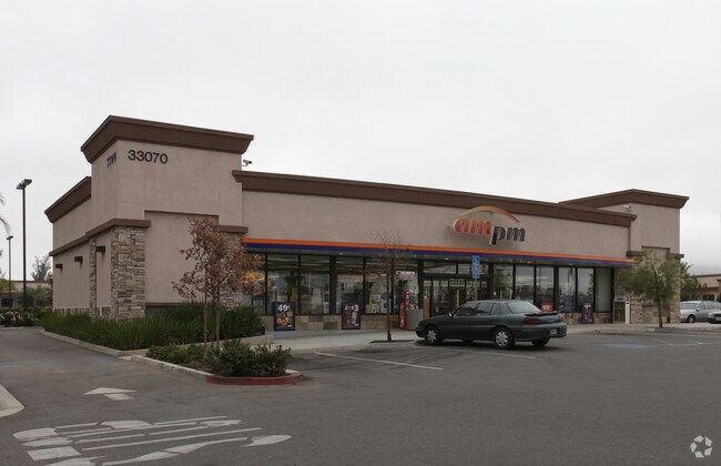
Property Record
33070 Antelope Rd, Murrieta, CA 92563

Property Detail
33070 Antelope Rd
388-010-025
.76 ACRES M/L IN POR PAR 4 PM 222/006 PM 32258
Servicestation
RIVERSIDE
RC
California
B and X Area of moderate flood hazard, usually the area between the limits of the 100-year and 500-year floods.
4
2024
0.76 AC
2025
South Riverside
050702
Inland Empire (California)
3,675 SF
Riverside-San Bernardino-Ontario, CA
NEARBY LISTINGS FOR SALE OR LEASE
DEMOGRAPHICS near 33070 Antelope Rd
1 mile
3 mile
5 mile
2025 Total Population
4,555
49,840
174,922
2030 Population
4,584
51,912
180,311
Pop Growth 2025-2030
+ 0.64%
+ 4.16%
+ 3.08%
Average Age
36
36
38
2025 Total Households
1,324
14,182
52,943
HH Growth 2025-2030
(0.15%)
+ 3.75%
+ 2.55%
Median Household Inc
$150,634
$126,927
$113,164
Avg Household Size
3.30
3.40
3.20
2025 Avg HH Vehicles
2.00
3.00
2.00
Median Home Value
$733,170
$713,491
$683,001
Median Year Built
2003
2006
2003
Nearby Places
Map Layers
Map Styles
 Street
 Aerial
Layers
 Traffic
 Biking
Places
Listings with unknown addresses are not visible on the map
- Restaurants
- Banks
- Shops
- Fitness
- Groceries
PUBLIC TRANSPORTATION
COMMUTER RAIL
Drive
Walk
Distance
14 min
9.7 mi
AIRPORT
Ontario International
Drive
Walk
Distance
Ontario International
56 min
45.4 mi
Nearby Properties
Address
Land Use
TOTAL SIZE
Lot Size
Zoning
Address
Land Use
TOTAL SIZE
Lot Size
Zoning
276,770 SF
17.18 AC
Address
Land Use
TOTAL SIZE
Lot Size
Zoning
61,012 SF
19.12 AC
SPZONE
Address
Land Use
TOTAL SIZE
Lot Size
Zoning
42,104 SF
11.76 AC
RR
Address
Land Use
TOTAL SIZE
Lot Size
Zoning
33,793 SF
8.47 AC
Address
Land Use
TOTAL SIZE
Lot Size
Zoning
227,434 SF
17.09 AC
Address
Land Use
TOTAL SIZE
Lot Size
Zoning
220,606 SF
12.10 AC
Address
Land Use
TOTAL SIZE
Lot Size
Zoning
136,706 SF
10.85 AC
RR
Address
Land Use
TOTAL SIZE
Lot Size
Zoning
120,000 SF
5.81 AC
RR
Address
Land Use
TOTAL SIZE
Lot Size
Zoning
31,477 SF
4.24 AC
RR
Address
Land Use
TOTAL SIZE
Lot Size
Zoning
128,991 SF
10.20 AC
SPZONE
Address
Land Use
TOTAL SIZE
Lot Size
Zoning
137,810 SF
9.76 AC
Address
Land Use
TOTAL SIZE
Lot Size
Zoning
359,724 SF
14.35 AC
Address
Land Use
TOTAL SIZE
Lot Size
Zoning
130,830 SF
26 AC
SP
Address
Land Use
TOTAL SIZE
Lot Size
Zoning
172,887 SF
15.10 AC
SPZONE
Address
Land Use
TOTAL SIZE
Lot Size
Zoning
56,572 SF
4.80 AC
RR
Address
Land Use
TOTAL SIZE
Lot Size
Zoning
93,757 SF
6.19 AC
Address
Land Use
TOTAL SIZE
Lot Size
Zoning
152,838 SF
8.66 AC
Address
Land Use
TOTAL SIZE
Lot Size
Zoning
60,675 SF
5.68 AC
Address
Land Use
TOTAL SIZE
Lot Size
Zoning
139,410 SF
13 AC
SPZONE
Address
Land Use
TOTAL SIZE
Lot Size
Zoning
72,835 SF
5.23 AC
Address
Land Use
TOTAL SIZE
Lot Size
Zoning
63,039 SF
2.80 AC
SP
Address
Land Use
TOTAL SIZE
Lot Size
Zoning
89,137 SF
7.39 AC
SPZONE
Address
Land Use
TOTAL SIZE
Lot Size
Zoning
14,081 SF
1.39 AC
SPZONE
Address
Land Use
TOTAL SIZE
Lot Size
Zoning
18.08 AC
RR
Address
Land Use
TOTAL SIZE
Lot Size
Zoning
67,520 SF
74.53 AC
RR
Address
Land Use
TOTAL SIZE
Lot Size
Zoning
11,165 SF
1.05 AC
SPZONE
The World's #1 Commercial Real Estate Marketplace
Connect with us
© 2026 CoStar Group
The information above has been obtained from sources believed reliable. While we do not doubt its accuracy we have not verified it and make no guarantee, warranty or representation about it. It is your responsibility to independently confirm its accuracy and completeness. Any projections, opinions, assumptions, or estimates used are for example only and do not represent the current or future performance of the property. The value of this transaction to you depends on tax and other factors which should be evaluated by your tax, financial, and legal advisors. You and your advisors should conduct a careful, independent investigation of the property to determine to your satisfaction the suitability of the property for your needs.