Property Record
3310 E Railroad St, Nampa, ID 83687


NEARBY LISTINGS FOR SALE OR LEASE
Property Detail
3310 E Railroad St
3180400000
25-3N-2W SW TX 21869 IN SWSW
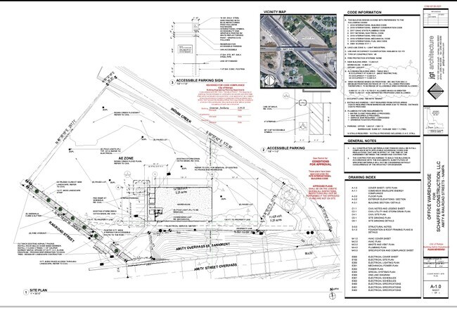
Industrialgeneral
Canyon
AE
Idaho
16027C0392F
3.25 AC
2024
Nampa
2025
Boise City/Nampa
020403
Boise City, ID
DEMOGRAPHICS near 3310 E Railroad St
1 Mile
3 Mile
5 Mile
2024 Total Population
10,010
69,205
129,911
2029 Population
12,251
84,181
158,315
Pop Growth 2024-2029
+ 22.39%
+ 21.64%
+ 21.86%
Average Age
36
37
37
2024 Total Households
3,414
24,295
45,208
HH Growth 2024-2029
+ 22.64%
+ 21.95%
+ 22.17%
Median Household Inc
$73,962
$60,089
$64,828
Avg Household Size
2.90
2.70
2.80
2024 Avg HH Vehicles
3.00
2.00
2.00
Median Home Value
$341,643
$338,049
$356,847
Median Year Built
1998
1993
1997
Nearby Places
Map Layers
Map Styles
 Street
 Aerial
- Restaurants
- Banks
- Shops
- Fitness
- Groceries
PUBLIC TRANSPORTATION
AIRPORT
Boise Air Trml/Gowen Field
DRIVE
WALK
Distance
Boise Air Trml/Gowen Field
42 min
23.0 mi
Freight Ports
Port of Portland
DRIVE
WALK
Distance
Port of Portland
463 min
418.0 mi
SALE & LEASE HISTORY
LISTING DATE
SALE/LEASE

Aug 08, 2022
For Sale
Nearby Properties
Address
Land Use
TOTAL SIZE
Lot Size
Zoning
Address
Land Use
TOTAL SIZE
Lot Size
Zoning
52,235 SF
16.19 AC
Address
Land Use
TOTAL SIZE
Lot Size
Zoning
40.26 AC
Address
Land Use
TOTAL SIZE
Lot Size
Zoning
44.21 AC
R1
Address
Land Use
TOTAL SIZE
Lot Size
Zoning
2,222 SF
12.28 AC
RR
Address
Land Use
TOTAL SIZE
Lot Size
Zoning
28.08 AC
Address
Land Use
TOTAL SIZE
Lot Size
Zoning
3,308 SF
7.06 AC
Address
Land Use
TOTAL SIZE
Lot Size
Zoning
149.04 AC
Address
Land Use
TOTAL SIZE
Lot Size
Zoning
2.96 AC
Address
Land Use
TOTAL SIZE
Lot Size
Zoning
12.65 AC
Address
Land Use
TOTAL SIZE
Lot Size
Zoning
11.74 AC
Address
Land Use
TOTAL SIZE
Lot Size
Zoning
203,750 SF
21.20 AC
Address
Land Use
TOTAL SIZE
Lot Size
Zoning
189,415 SF
10 AC
Address
Land Use
TOTAL SIZE
Lot Size
Zoning
212,196 SF
24.14 AC
Address
Land Use
TOTAL SIZE
Lot Size
Zoning
98,768 SF
13.49 AC
Address
Land Use
TOTAL SIZE
Lot Size
Zoning
2,184 SF
73.37 AC
Address
Land Use
TOTAL SIZE
Lot Size
Zoning
16.19 AC
Address
Land Use
TOTAL SIZE
Lot Size
Zoning
3.75 AC
Address
Land Use
TOTAL SIZE
Lot Size
Zoning
10,000 SF
8.50 AC
Address
Land Use
TOTAL SIZE
Lot Size
Zoning
152,140 SF
9.71 AC
Address
Land Use
TOTAL SIZE
Lot Size
Zoning
17.94 AC
Address
Land Use
TOTAL SIZE
Lot Size
Zoning
6.71 AC
Address
Land Use
TOTAL SIZE
Lot Size
Zoning
6.60 AC
Address
Land Use
TOTAL SIZE
Lot Size
Zoning
164,765 SF
21.61 AC
Address
Land Use
TOTAL SIZE
Lot Size
Zoning
40.18 AC
RR
Address
Land Use
TOTAL SIZE
Lot Size
Zoning
132,211 SF
11.92 AC
Address
Land Use
TOTAL SIZE
Lot Size
Zoning
11.67 AC
Address
Land Use
TOTAL SIZE
Lot Size
Zoning
5.90 AC
Address
Land Use
TOTAL SIZE
Lot Size
Zoning
6.85 AC
Address
Land Use
TOTAL SIZE
Lot Size
Zoning
Address
Land Use
TOTAL SIZE
Lot Size
Zoning
76,984 SF
9.68 AC
The World's #1 Commercial Real Estate Marketplace
Connect with us
© 2025 CoStar Group
The information above has been obtained from sources believed reliable. While we do not doubt its accuracy we have not verified it and make no guarantee, warranty or representation about it. It is your responsibility to independently confirm its accuracy and completeness. Any projections, opinions, assumptions, or estimates used are for example only and do not represent the current or future performance of the property. The value of this transaction to you depends on tax and other factors which should be evaluated by your tax, financial, and legal advisors. You and your advisors should conduct a careful, independent investigation of the property to determine to your satisfaction the suitability of the property for your needs.