Property Record
332 Blume Rd, Rosenberg, TX 77471
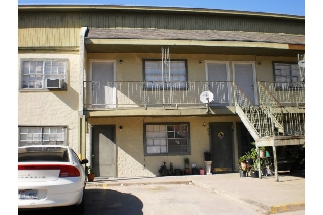

Property Detail
332 Blume Rd
Houston-Pasadena-The Woodlands, TX
HIGHWAY ACRES, BLOCK 1, LOT 6
4055-00-001-0060-901
Fort Bend
Multifamilydwelling
Texas
B and X Area of moderate flood hazard, usually the area between the limits of the 100-year and 500-year floods.
6
2024
0.69 AC
2025
Richmond/Rosenberg
675300
Houston
4,544 SF
NEARBY LISTINGS FOR SALE OR LEASE
-
-
View all Rosenberg listings for sale on LoopNet.com
DEMOGRAPHICS near 332 Blume Rd
1 mile
3 mile
5 mile
2025 Total Population
5,606
31,555
75,980
2030 Population
6,356
35,842
86,882
Pop Growth 2025-2030
+ 13.38%
+ 13.59%
+ 14.35%
Average Age
38
37
37
2025 Total Households
1,806
10,474
25,481
HH Growth 2025-2030
+ 13.84%
+ 13.97%
+ 14.80%
Median Household Inc
$54,927
$67,869
$73,069
Avg Household Size
3.10
3.00
2.90
2025 Avg HH Vehicles
2.00
2.00
2.00
Median Home Value
$148,148
$221,978
$261,006
Median Year Built
1990
1990
2002
Nearby Places
Map Layers
Map Styles
 Street
 Aerial
Layers
 Traffic
 Biking
Places
Listings with unknown addresses are not visible on the map
- Restaurants
- Banks
- Shops
- Fitness
- Groceries
Nearby Properties
Address
Land Use
TOTAL SIZE
Lot Size
Zoning
Address
Land Use
TOTAL SIZE
Lot Size
Zoning
44.35 AC
YOSN
Address
Land Use
TOTAL SIZE
Lot Size
Zoning
449,167 SF
73.44 AC
IY
Address
Land Use
TOTAL SIZE
Lot Size
Zoning
672,112 SF
81.77 AC
YHN
Address
Land Use
TOTAL SIZE
Lot Size
Zoning
Address
Land Use
TOTAL SIZE
Lot Size
Zoning
98,691 SF
29.37 AC
Address
Land Use
TOTAL SIZE
Lot Size
Zoning
16.23 AC
Address
Land Use
TOTAL SIZE
Lot Size
Zoning
54,406 SF
13.13 AC
Address
Land Use
TOTAL SIZE
Lot Size
Zoning
18.86 AC
Address
Land Use
TOTAL SIZE
Lot Size
Zoning
64.02 AC
YQ
Address
Land Use
TOTAL SIZE
Lot Size
Zoning
54.25 AC
L
Address
Land Use
TOTAL SIZE
Lot Size
Zoning
37.08 AC
Address
Land Use
TOTAL SIZE
Lot Size
Zoning
1,216 SF
24.38 AC
YZS
Address
Land Use
TOTAL SIZE
Lot Size
Zoning
66,896 SF
18.60 AC
ZNY
Address
Land Use
TOTAL SIZE
Lot Size
Zoning
25.69 AC
Address
Land Use
TOTAL SIZE
Lot Size
Zoning
4,524 SF
13.68 AC
Address
Land Use
TOTAL SIZE
Lot Size
Zoning
37,951 SF
5.39 AC
L
Address
Land Use
TOTAL SIZE
Lot Size
Zoning
145,000 SF
17.36 AC
YSNM
Address
Land Use
TOTAL SIZE
Lot Size
Zoning
30.57 AC
Address
Land Use
TOTAL SIZE
Lot Size
Zoning
8.01 AC
Address
Land Use
TOTAL SIZE
Lot Size
Zoning
14.18 AC
Address
Land Use
TOTAL SIZE
Lot Size
Zoning
4.20 AC
YS
Address
Land Use
TOTAL SIZE
Lot Size
Zoning
21,218 SF
1.86 AC
Address
Land Use
TOTAL SIZE
Lot Size
Zoning
133,826 SF
11.60 AC
Address
Land Use
TOTAL SIZE
Lot Size
Zoning
45,695 SF
3.38 AC
XY
Address
Land Use
TOTAL SIZE
Lot Size
Zoning
7.89 AC
SZ
Address
Land Use
TOTAL SIZE
Lot Size
Zoning
11,800 SF
9.26 AC
S
Address
Land Use
TOTAL SIZE
Lot Size
Zoning
40.49 AC
OY
Address
Land Use
TOTAL SIZE
Lot Size
Zoning
152,292 SF
12.13 AC
QSY
Address
Land Use
TOTAL SIZE
Lot Size
Zoning
58,895 SF
4.50 AC
Address
Land Use
TOTAL SIZE
Lot Size
Zoning
175,001 SF
14.37 AC
SY
The World's #1 Commercial Real Estate Marketplace
Connect with us
© 2026 CoStar Group
The information above has been obtained from sources believed reliable. While we do not doubt its accuracy we have not verified it and make no guarantee, warranty or representation about it. It is your responsibility to independently confirm its accuracy and completeness. Any projections, opinions, assumptions, or estimates used are for example only and do not represent the current or future performance of the property. The value of this transaction to you depends on tax and other factors which should be evaluated by your tax, financial, and legal advisors. You and your advisors should conduct a careful, independent investigation of the property to determine to your satisfaction the suitability of the property for your needs.