Property Record
3322 Interstate Highway 69 Access Rd, Corpus Christi, TX 78410

Property Detail
3322 Interstate Highway 69 Access Rd
200098744
HERITAGE WEST LT 1 BLK 1
Commercialnec
NUECES
T1B
Texas
B and X Area of moderate flood hazard, usually the area between the limits of the 100-year and 500-year floods.
1
2024
25.74 AC
2025
Northwest
003601
Corpus Christi
4,272 SF
Corpus Christi, TX
NEARBY LISTINGS FOR SALE OR LEASE
DEMOGRAPHICS near 3322 Interstate Highway 69 Access Rd
1 mile
3 mile
5 mile
2025 Total Population
1,969
19,798
41,336
2030 Population
1,978
19,527
41,120
Pop Growth 2025-2030
+ 0.46%
(1.37%)
(0.52%)
Average Age
39
38
38
2025 Total Households
671
6,881
14,315
HH Growth 2025-2030
+ 0.30%
(1.69%)
(0.80%)
Median Household Inc
$98,503
$81,122
$71,300
Avg Household Size
2.90
2.80
2.80
2025 Avg HH Vehicles
2.00
2.00
2.00
Median Home Value
$217,016
$236,620
$216,859
Median Year Built
1986
1985
1983
Nearby Places
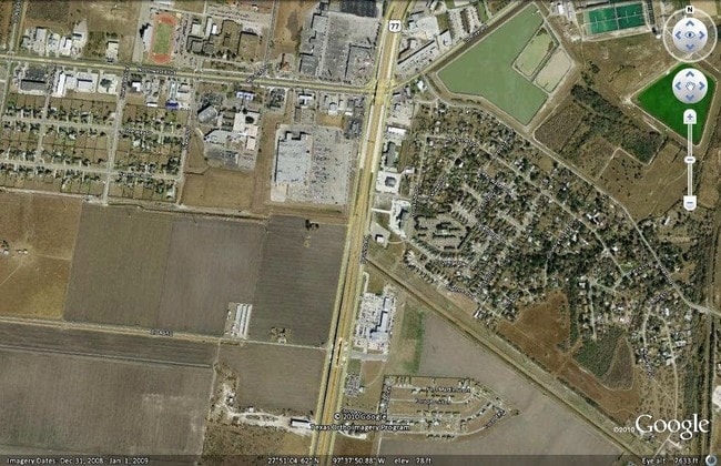
Map Layers
Map Styles
 Street
 Aerial
Layers
 Traffic
 Biking
Places
Listings with unknown addresses are not visible on the map
- Restaurants
- Banks
- Shops
- Fitness
- Groceries
PUBLIC TRANSPORTATION
AIRPORT
Corpus Christi International
Drive
Walk
Distance
Corpus Christi International
21 min
15.2 mi
Freight Ports
Port of Corpus Christi
Drive
Walk
Distance
Port of Corpus Christi
21 min
16.9 mi
Nearby Properties
Address
Land Use
TOTAL SIZE
Lot Size
Zoning
Address
Land Use
TOTAL SIZE
Lot Size
Zoning
8,400 SF
183.15 AC
R1B
Address
Land Use
TOTAL SIZE
Lot Size
Zoning
411,200 SF
54.94 AC
R1B
Address
Land Use
TOTAL SIZE
Lot Size
Zoning
155,100 SF
27.07 AC
R1B
Address
Land Use
TOTAL SIZE
Lot Size
Zoning
102,575 SF
13.90 AC
R1B
Address
Land Use
TOTAL SIZE
Lot Size
Zoning
242,916 SF
20.07 AC
B-4
Address
Land Use
TOTAL SIZE
Lot Size
Zoning
88,831 SF
14 AC
Address
Land Use
TOTAL SIZE
Lot Size
Zoning
2,510 SF
66.40 AC
R1B
Address
Land Use
TOTAL SIZE
Lot Size
Zoning
68,975 SF
19.71 AC
Address
Land Use
TOTAL SIZE
Lot Size
Zoning
73,740 SF
15 AC
Address
Land Use
TOTAL SIZE
Lot Size
Zoning
75,154 SF
19.38 AC
A1A
Address
Land Use
TOTAL SIZE
Lot Size
Zoning
41,499 SF
2.33 AC
Address
Land Use
TOTAL SIZE
Lot Size
Zoning
207,487 SF
32.65 AC
Address
Land Use
TOTAL SIZE
Lot Size
Zoning
56,250 SF
4.74 AC
Address
Land Use
TOTAL SIZE
Lot Size
Zoning
65,877 SF
10.25 AC
R1B
Address
Land Use
TOTAL SIZE
Lot Size
Zoning
85,908 SF
10.25 AC
Address
Land Use
TOTAL SIZE
Lot Size
Zoning
69,436 SF
10.82 AC
R1B
Address
Land Use
TOTAL SIZE
Lot Size
Zoning
46,390 SF
5.34 AC
Address
Land Use
TOTAL SIZE
Lot Size
Zoning
81,002 SF
18.79 AC
I3
Address
Land Use
TOTAL SIZE
Lot Size
Zoning
61,440 SF
35.77 AC
I3
Address
Land Use
TOTAL SIZE
Lot Size
Zoning
36,523 SF
4.47 AC
B-4
Address
Land Use
TOTAL SIZE
Lot Size
Zoning
32,130 SF
2.94 AC
R1B
Address
Land Use
TOTAL SIZE
Lot Size
Zoning
44,106 SF
10 AC
B4
Address
Land Use
TOTAL SIZE
Lot Size
Zoning
61,630 SF
33.70 AC
Address
Land Use
TOTAL SIZE
Lot Size
Zoning
25,852 SF
6.72 AC
FR
Address
Land Use
TOTAL SIZE
Lot Size
Zoning
38,379 SF
6.01 AC
Address
Land Use
TOTAL SIZE
Lot Size
Zoning
114,700 SF
13.20 AC
B4
Address
Land Use
TOTAL SIZE
Lot Size
Zoning
58,400 SF
14.64 AC
Address
Land Use
TOTAL SIZE
Lot Size
Zoning
43.49 AC
OCL
Address
Land Use
TOTAL SIZE
Lot Size
Zoning
297.80 AC
Address
Land Use
TOTAL SIZE
Lot Size
Zoning
81,619 SF
9 AC
B4
The World's #1 Commercial Real Estate Marketplace
Connect with us
© 2026 CoStar Group
The information above has been obtained from sources believed reliable. While we do not doubt its accuracy we have not verified it and make no guarantee, warranty or representation about it. It is your responsibility to independently confirm its accuracy and completeness. Any projections, opinions, assumptions, or estimates used are for example only and do not represent the current or future performance of the property. The value of this transaction to you depends on tax and other factors which should be evaluated by your tax, financial, and legal advisors. You and your advisors should conduct a careful, independent investigation of the property to determine to your satisfaction the suitability of the property for your needs.