Property Record
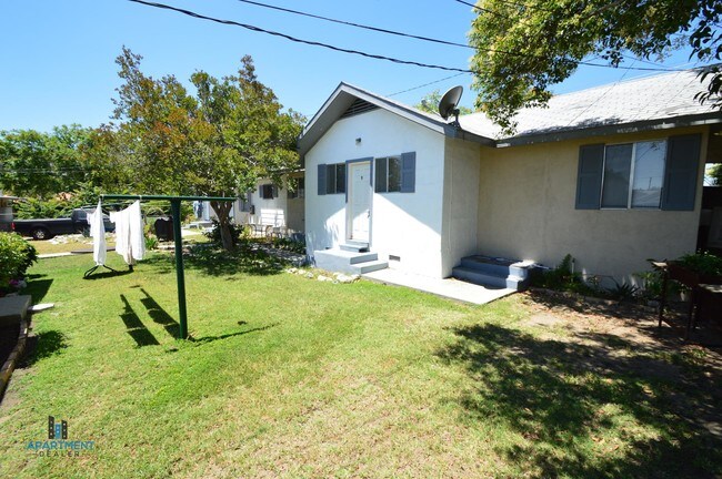
333 N Murray St, Banning, CA 92220


Property Detail
333 N Murray St
541-101-007
.28 ACRES IN POR LOT 14 BLK 3 MB 009/044 SB AMENDED MAP OF THE BANNING LAND CO
Apartment
Riverside
R3
California
AO River or stream flood hazard areas, and areas with a 1% or greater chance of shallow flooding each year. These areas have a 26% chance of flooding over the life of a 30-year mortgage.
14
2024
0.28 AC
2025
Outer Riverside County
044200
Inland Empire (California)
3,396 SF
Riverside-San Bernardino-Ontario, CA
NEARBY LISTINGS FOR SALE OR LEASE
-
-
View all Banning listings for sale on LoopNet.com
DEMOGRAPHICS near 333 N Murray St
1 mile
3 mile
5 mile
2025 Total Population
13,143
24,833
52,765
2030 Population
13,453
25,724
54,697
Pop Growth 2025-2030
+ 2.36%
+ 3.59%
+ 3.66%
Average Age
36
38
42
2025 Total Households
3,968
7,624
18,311
HH Growth 2025-2030
+ 2.07%
+ 3.32%
+ 3.13%
Median Household Inc
$58,469
$61,498
$72,753
Avg Household Size
3.20
3.00
2.70
2025 Avg HH Vehicles
2.00
2.00
2.00
Median Home Value
$328,467
$323,284
$426,702
Median Year Built
1968
1975
1993
Nearby Places
Map Layers
Map Styles
 Street
 Aerial
Layers
 Traffic
 Biking
Places
Listings with unknown addresses are not visible on the map
- Restaurants
- Banks
- Shops
- Fitness
- Groceries
PUBLIC TRANSPORTATION
AIRPORT
Palm Springs International
Drive
Walk
Distance
Palm Springs International
32 min
26.4 mi
Freight Ports
Port of Long Beach
Drive
Walk
Distance
Port of Long Beach
110 min
86.3 mi
SALE & LEASE HISTORY
LISTING DATE
SALE/LEASE

Jul 23, 2019
For Sale
Nearby Properties
Address
Land Use
TOTAL SIZE
Lot Size
Zoning
Address
Land Use
TOTAL SIZE
Lot Size
Zoning
1,000,000 SF
63.69 AC
Address
Land Use
TOTAL SIZE
Lot Size
Zoning
83,989 SF
39.10 AC
M1
Address
Land Use
TOTAL SIZE
Lot Size
Zoning
54,131 SF
3.23 AC
M1
Address
Land Use
TOTAL SIZE
Lot Size
Zoning
82,587 SF
6.78 AC
Address
Land Use
TOTAL SIZE
Lot Size
Zoning
39,250 SF
1.38 AC
C2
Address
Land Use
TOTAL SIZE
Lot Size
Zoning
909 SF
8.17 AC
RA
Address
Land Use
TOTAL SIZE
Lot Size
Zoning
54,455 SF
5.53 AC
R3
Address
Land Use
TOTAL SIZE
Lot Size
Zoning
17,272 SF
1.99 AC
Address
Land Use
TOTAL SIZE
Lot Size
Zoning
119,400 SF
8.21 AC
M
Address
Land Use
TOTAL SIZE
Lot Size
Zoning
50,000 SF
7.13 AC
CM
Address
Land Use
TOTAL SIZE
Lot Size
Zoning
32,520 SF
2.01 AC
Address
Land Use
TOTAL SIZE
Lot Size
Zoning
28,165 SF
2.41 AC
Address
Land Use
TOTAL SIZE
Lot Size
Zoning
102,760 SF
13.29 AC
Address
Land Use
TOTAL SIZE
Lot Size
Zoning
864 SF
4.30 AC
M
Address
Land Use
TOTAL SIZE
Lot Size
Zoning
30,000 SF
2.21 AC
C2
Address
Land Use
TOTAL SIZE
Lot Size
Zoning
29,928 SF
2.98 AC
Address
Land Use
TOTAL SIZE
Lot Size
Zoning
20,304 SF
0.91 AC
RA
Address
Land Use
TOTAL SIZE
Lot Size
Zoning
93,469 SF
7.46 AC
Address
Land Use
TOTAL SIZE
Lot Size
Zoning
15,000 SF
0.99 AC
Address
Land Use
TOTAL SIZE
Lot Size
Zoning
15.29 AC
W2
Address
Land Use
TOTAL SIZE
Lot Size
Zoning
15.25 AC
W2
Address
Land Use
TOTAL SIZE
Lot Size
Zoning
4.57 AC
Address
Land Use
TOTAL SIZE
Lot Size
Zoning
51,600 SF
2.47 AC
M
Address
Land Use
TOTAL SIZE
Lot Size
Zoning
20,000 SF
2.87 AC
Address
Land Use
TOTAL SIZE
Lot Size
Zoning
18,461 SF
1.16 AC
R3
Address
Land Use
TOTAL SIZE
Lot Size
Zoning
28,683 SF
5.79 AC
C2
The World's #1 Commercial Real Estate Marketplace
Connect with us
© 2026 CoStar Group
The information above has been obtained from sources believed reliable. While we do not doubt its accuracy we have not verified it and make no guarantee, warranty or representation about it. It is your responsibility to independently confirm its accuracy and completeness. Any projections, opinions, assumptions, or estimates used are for example only and do not represent the current or future performance of the property. The value of this transaction to you depends on tax and other factors which should be evaluated by your tax, financial, and legal advisors. You and your advisors should conduct a careful, independent investigation of the property to determine to your satisfaction the suitability of the property for your needs.