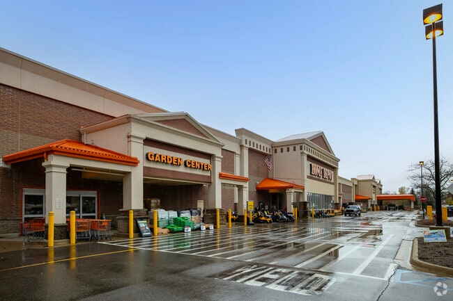
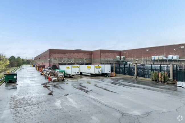
Property Record
3330 E Grand River Ave, Howell, MI 48843

Save to a Folder
{{folder.Name}}
{{folder.ListingIds.length}} Properties
{{folder.ListingIds.length}} Property
Create a New Folder
Property Detail
3330 E Grand River Ave
11-05-300-027
SEC 5 T2N R5E COMM S1/4 COR TH S87*12'58"W 496.99 FT TH W'LY R/W OF GRAND OAKS DR. TH ALNG SAID R/W N02*06'23"W 1724.06 FT
Commercialnec
Livingston
RCD
Michigan
B and X Area of moderate flood hazard, usually the area between the limits of the 100-year and 500-year floods.
15.10 AC
2025
Livingston County
2025
Detroit
742403
Detroit-Warren-Dearborn, MI
121,265 SF
NEARBY LISTINGS FOR SALE OR LEASE
DEMOGRAPHICS near 3330 E Grand River Ave
1 mile
3 mile
5 mile
2025 Total Population
3,388
27,292
50,552
2030 Population
3,413
27,616
51,188
Pop Growth 2025-2030
+ 0.74%
+ 1.19%
+ 1.26%
Average Age
39
42
43
2025 Total Households
1,438
11,124
20,242
HH Growth 2025-2030
+ 0.76%
+ 1.16%
+ 1.25%
Median Household Inc
$82,434
$91,961
$95,927
Avg Household Size
2.30
2.40
2.40
2025 Avg HH Vehicles
2.00
2.00
2.00
Median Home Value
$327,230
$312,668
$329,639
Median Year Built
1996
1994
1993
Nearby Places
Map Layers
Map Styles
 Street
 Aerial
Layers
 Traffic
 Biking
Places
Listings with unknown addresses are not visible on the map
- Restaurants
- Banks
- Shops
- Fitness
- Groceries
PUBLIC TRANSPORTATION
AIRPORT
Bishop International
Drive
Walk
Distance
Bishop International
55 min
35.9 mi
Nearby Properties
Address
Land Use
TOTAL SIZE
Lot Size
Zoning
Address
Land Use
TOTAL SIZE
Lot Size
Zoning
1,296 SF
19.42 AC
MUPUD
Address
Land Use
TOTAL SIZE
Lot Size
Zoning
93,620 SF
17.47 AC
MUPUD
Address
Land Use
TOTAL SIZE
Lot Size
Zoning
344,387 SF
27.72 AC
I-1
Address
Land Use
TOTAL SIZE
Lot Size
Zoning
199,635 SF
19.85 AC
RPUD
Address
Land Use
TOTAL SIZE
Lot Size
Zoning
210,003 SF
29.17 AC
MUPUD
Address
Land Use
TOTAL SIZE
Lot Size
Zoning
15.74 AC
RM
Address
Land Use
TOTAL SIZE
Lot Size
Zoning
161,366 SF
18.67 AC
HDR
Address
Land Use
TOTAL SIZE
Lot Size
Zoning
165,868 SF
27.80 AC
HDR
Address
Land Use
TOTAL SIZE
Lot Size
Zoning
87,349 SF
9.68 AC
C,RM,PUD
Address
Land Use
TOTAL SIZE
Lot Size
Zoning
60,900 SF
5.74 AC
NRPUD
Address
Land Use
TOTAL SIZE
Lot Size
Zoning
166,550 SF
20 AC
IND
Address
Land Use
TOTAL SIZE
Lot Size
Zoning
220,091 SF
21.88 AC
NRPUD
Address
Land Use
TOTAL SIZE
Lot Size
Zoning
134,688 SF
14.97 AC
NRPUD
Address
Land Use
TOTAL SIZE
Lot Size
Zoning
96,896 SF
12.11 AC
HDR
Address
Land Use
TOTAL SIZE
Lot Size
Zoning
91,380 SF
11.55 AC
HDR
Address
Land Use
TOTAL SIZE
Lot Size
Zoning
35,546 SF
7.64 AC
R-M
Address
Land Use
TOTAL SIZE
Lot Size
Zoning
57,582 SF
5.32 AC
C,RM,PUD
Address
Land Use
TOTAL SIZE
Lot Size
Zoning
79,801 SF
10.60 AC
B-2
Address
Land Use
TOTAL SIZE
Lot Size
Zoning
43,959 SF
33.51 AC
IFZ
Address
Land Use
TOTAL SIZE
Lot Size
Zoning
121,850 SF
11.85 AC
I-1
Address
Land Use
TOTAL SIZE
Lot Size
Zoning
65,560 SF
2.56 AC
NRPUD
Address
Land Use
TOTAL SIZE
Lot Size
Zoning
246 SF
32.70 AC
I-1
Address
Land Use
TOTAL SIZE
Lot Size
Zoning
73,296 SF
7 AC
HDR
Address
Land Use
TOTAL SIZE
Lot Size
Zoning
116,885 SF
13.78 AC
RCD
Address
Land Use
TOTAL SIZE
Lot Size
Zoning
119,436 SF
12.20 AC
I-1
Address
Land Use
TOTAL SIZE
Lot Size
Zoning
57,736 SF
4.84 AC
R-M
Address
Land Use
TOTAL SIZE
Lot Size
Zoning
74,030 SF
5.33 AC
Address
Land Use
TOTAL SIZE
Lot Size
Zoning
40,005 SF
4.87 AC
RM
Address
Land Use
TOTAL SIZE
Lot Size
Zoning
40,005 SF
3.30 AC
RM
The World's #1 Commercial Real Estate Marketplace
Connect with us
© 2026 CoStar Group
The information above has been obtained from sources believed reliable. While we do not doubt its accuracy we have not verified it and make no guarantee, warranty or representation about it. It is your responsibility to independently confirm its accuracy and completeness. Any projections, opinions, assumptions, or estimates used are for example only and do not represent the current or future performance of the property. The value of this transaction to you depends on tax and other factors which should be evaluated by your tax, financial, and legal advisors. You and your advisors should conduct a careful, independent investigation of the property to determine to your satisfaction the suitability of the property for your needs.