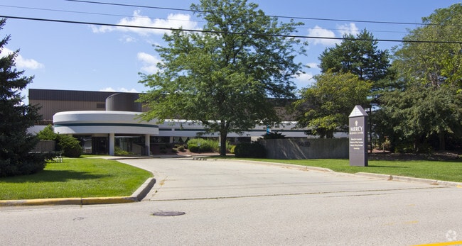
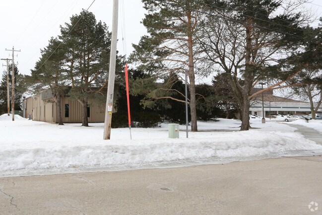
Property Record
3330 Palmer Dr, Janesville, WI 53546
NEARBY LISTINGS FOR SALE OR LEASE
Property Detail
3330 Palmer Dr
Janesville-Beloit, WI
LOT 1 CSM 2022260, VOL 36,PGS 372-375, BEING ACOMBINATION OF LOT 1 CSM868243, VOL 6, PGS 331-332AND LOT 1 CSM 1016977, VOL12,
023-2300008
Rock
Sfr
Wisconsin
X
1
55105C0211E
12.42 AC
2024
Rock County
2024
Milwaukee/Madison
001302
DEMOGRAPHICS near 3330 Palmer Dr
1 Mile
3 Mile
5 Mile
2024 Total Population
3,502
37,990
66,314
2029 Population
3,513
38,325
66,967
Pop Growth 2024-2029
+ 0.31%
+ 0.88%
+ 0.98%
Average Age
43
41
41
2024 Total Households
1,541
16,435
27,584
HH Growth 2024-2029
+ 0.32%
+ 0.92%
+ 1.01%
Median Household Inc
$78,756
$60,333
$65,775
Avg Household Size
2.20
2.30
2.30
2024 Avg HH Vehicles
2.00
2.00
2.00
Median Home Value
$203,281
$175,919
$184,680
Median Year Built
1975
1970
1971
Nearby Places
Map Layers
Map Styles
 Street
 Aerial
- Restaurants
- Banks
- Shops
- Fitness
- Groceries
Nearby Properties
Address
Land Use
TOTAL SIZE
Lot Size
Zoning
Address
Land Use
TOTAL SIZE
Lot Size
Zoning
56.41 AC
M2
Address
Land Use
TOTAL SIZE
Lot Size
Zoning
32,518 SF
26.74 AC
B4
Address
Land Use
TOTAL SIZE
Lot Size
Zoning
31,064 SF
11.57 AC
R3
Address
Land Use
TOTAL SIZE
Lot Size
Zoning
12,620 SF
8.05 AC
R3
Address
Land Use
TOTAL SIZE
Lot Size
Zoning
48,110 SF
13.04 AC
R3
Address
Land Use
TOTAL SIZE
Lot Size
Zoning
16,959 SF
47.11 AC
M1
Address
Land Use
TOTAL SIZE
Lot Size
Zoning
135,322 SF
18.41 AC
B2
Address
Land Use
TOTAL SIZE
Lot Size
Zoning
18,480 SF
14.50 AC
O1
Address
Land Use
TOTAL SIZE
Lot Size
Zoning
70,000 SF
63.05 AC
M1
Address
Land Use
TOTAL SIZE
Lot Size
Zoning
183,339 SF
9.97 AC
B4
Address
Land Use
TOTAL SIZE
Lot Size
Zoning
98,370 SF
8.64 AC
B4
Address
Land Use
TOTAL SIZE
Lot Size
Zoning
7.52 AC
R3
Address
Land Use
TOTAL SIZE
Lot Size
Zoning
149,400 SF
13.04 AC
M1
Address
Land Use
TOTAL SIZE
Lot Size
Zoning
42.07 AC
Address
Land Use
TOTAL SIZE
Lot Size
Zoning
17,183 SF
6.65 AC
B3
Address
Land Use
TOTAL SIZE
Lot Size
Zoning
24,960 SF
8.85 AC
B4
Address
Land Use
TOTAL SIZE
Lot Size
Zoning
200,500 SF
22.73 AC
M1
Address
Land Use
TOTAL SIZE
Lot Size
Zoning
17.14 AC
M1
Address
Land Use
TOTAL SIZE
Lot Size
Zoning
111,847 SF
11.72 AC
B4
Address
Land Use
TOTAL SIZE
Lot Size
Zoning
49,053 SF
9.59 AC
M1
Address
Land Use
TOTAL SIZE
Lot Size
Zoning
110,000 SF
14.14 AC
M1
Address
Land Use
TOTAL SIZE
Lot Size
Zoning
2.30 AC
Address
Land Use
TOTAL SIZE
Lot Size
Zoning
10,534 SF
9.14 AC
B4
Address
Land Use
TOTAL SIZE
Lot Size
Zoning
101,195 SF
1.40 AC
B6
Address
Land Use
TOTAL SIZE
Lot Size
Zoning
2,662 SF
4.48 AC
B4
Address
Land Use
TOTAL SIZE
Lot Size
Zoning
2,480 SF
16.27 AC
M2
Address
Land Use
TOTAL SIZE
Lot Size
Zoning
49,524 SF
1.57 AC
B6
Address
Land Use
TOTAL SIZE
Lot Size
Zoning
110,100 SF
15.75 AC
M1
Address
Land Use
TOTAL SIZE
Lot Size
Zoning
9,246 SF
0.59 AC
B5
The World's #1 Commercial Real Estate Marketplace
Connect with us
© 2026 CoStar Group
The information above has been obtained from sources believed reliable. While we do not doubt its accuracy we have not verified it and make no guarantee, warranty or representation about it. It is your responsibility to independently confirm its accuracy and completeness. Any projections, opinions, assumptions, or estimates used are for example only and do not represent the current or future performance of the property. The value of this transaction to you depends on tax and other factors which should be evaluated by your tax, financial, and legal advisors. You and your advisors should conduct a careful, independent investigation of the property to determine to your satisfaction the suitability of the property for your needs.