Property Record
337 Russell St, Hadley, MA 01035
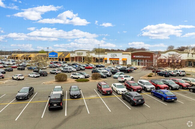
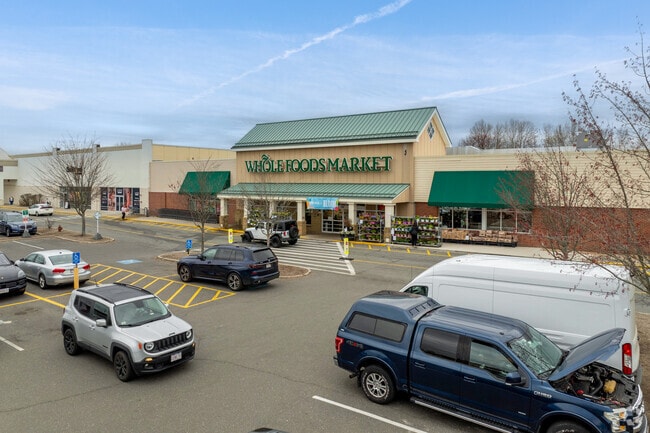
Property Detail
337 Russell St
Amherst Town-Northampton, MA
HAMPSHIRE
HADL-000010A-000019
Massachusetts
Commercialnec
32.09 AC
I
Hampshire County
185,998 SF
Hartford
NEARBY LISTINGS FOR SALE OR LEASE
DEMOGRAPHICS near 337 Russell St
1 mile
3 mile
5 mile
2025 Total Population
513
27,846
63,240
2030 Population
510
27,930
63,314
Pop Growth 2025-2030
(0.58%)
+ 0.30%
+ 0.12%
Average Age
46
33
35
2025 Total Households
210
6,829
19,342
HH Growth 2025-2030
(0.48%)
+ 0.22%
0.00%
Median Household Inc
$109,593
$76,369
$73,307
Avg Household Size
2.30
2.20
2.20
2025 Avg HH Vehicles
2.00
2.00
2.00
Median Home Value
$463,999
$466,140
$471,708
Median Year Built
1972
1969
1969
Nearby Places
Map Layers
Map Styles
 Street
 Aerial
Layers
 Traffic
 Biking
Places
Listings with unknown addresses are not visible on the map
- Restaurants
- Banks
- Shops
- Fitness
- Groceries
PUBLIC TRANSPORTATION
COMMUTER RAIL
Northampton (Valley Flyer - Amtrak, Vermonter - Amtrak)
Drive
Walk
Distance
Northampton (Valley Flyer - Amtrak, Vermonter - Amtrak)
15 min
5.6 mi
AIRPORT
Bradley International
Drive
Walk
Distance
Bradley International
63 min
35.0 mi
Freight Ports
Albany, NY Port
Drive
Walk
Distance
Albany, NY Port
123 min
97.0 mi
SALE & LEASE HISTORY
LISTING DATE
SALE/LEASE

Jun 07, 2017
For Lease
Feb 10, 2026
For Lease
Feb 09, 2022
For Lease
Apr 08, 2024
For Lease
Nearby Properties
Address
Land Use
TOTAL SIZE
Lot Size
Zoning
Address
Land Use
TOTAL SIZE
Lot Size
Zoning
258,531 SF
17.10 AC
Address
Land Use
TOTAL SIZE
Lot Size
Zoning
90,800 SF
12.07 AC
Address
Land Use
TOTAL SIZE
Lot Size
Zoning
9,424 SF
17.24 AC
AR
Address
Land Use
TOTAL SIZE
Lot Size
Zoning
45,220 SF
31.01 AC
Address
Land Use
TOTAL SIZE
Lot Size
Zoning
141,603 SF
35.70 AC
B
Address
Land Use
TOTAL SIZE
Lot Size
Zoning
46,138 SF
0.96 AC
Address
Land Use
TOTAL SIZE
Lot Size
Zoning
103,694 SF
0.81 AC
Address
Land Use
TOTAL SIZE
Lot Size
Zoning
84,480 SF
6.15 AC
I
Address
Land Use
TOTAL SIZE
Lot Size
Zoning
373,881 SF
46.52 AC
B
Address
Land Use
TOTAL SIZE
Lot Size
Zoning
61,650 SF
12.37 AC
B
Address
Land Use
TOTAL SIZE
Lot Size
Zoning
14,517 SF
34.82 AC
Address
Land Use
TOTAL SIZE
Lot Size
Zoning
12,032 SF
5.11 AC
Address
Land Use
TOTAL SIZE
Lot Size
Zoning
94,415 SF
3.83 AC
Address
Land Use
TOTAL SIZE
Lot Size
Zoning
77,397 SF
0.53 AC
Address
Land Use
TOTAL SIZE
Lot Size
Zoning
32,231 SF
7.75 AC
Address
Land Use
TOTAL SIZE
Lot Size
Zoning
11,657 SF
4.26 AC
Address
Land Use
TOTAL SIZE
Lot Size
Zoning
94,560 SF
1.65 AC
Address
Land Use
TOTAL SIZE
Lot Size
Zoning
6,240 SF
19.93 AC
Address
Land Use
TOTAL SIZE
Lot Size
Zoning
6,064 SF
19.39 AC
Address
Land Use
TOTAL SIZE
Lot Size
Zoning
94,035 SF
4.20 AC
I
Address
Land Use
TOTAL SIZE
Lot Size
Zoning
51,018 SF
0.32 AC
Address
Land Use
TOTAL SIZE
Lot Size
Zoning
127,994 SF
8.46 AC
B
Address
Land Use
TOTAL SIZE
Lot Size
Zoning
139,648 SF
13.09 AC
B
Address
Land Use
TOTAL SIZE
Lot Size
Zoning
24,636 SF
10.25 AC
Address
Land Use
TOTAL SIZE
Lot Size
Zoning
2,295.68 AC
Address
Land Use
TOTAL SIZE
Lot Size
Zoning
47,604 SF
2.11 AC
Address
Land Use
TOTAL SIZE
Lot Size
Zoning
16,841 SF
0.88 AC
Address
Land Use
TOTAL SIZE
Lot Size
Zoning
115,090 SF
14.09 AC
B
Address
Land Use
TOTAL SIZE
Lot Size
Zoning
77,103 SF
11.45 AC
B
The World's #1 Commercial Real Estate Marketplace
Connect with us
© 2026 CoStar Group
The information above has been obtained from sources believed reliable. While we do not doubt its accuracy we have not verified it and make no guarantee, warranty or representation about it. It is your responsibility to independently confirm its accuracy and completeness. Any projections, opinions, assumptions, or estimates used are for example only and do not represent the current or future performance of the property. The value of this transaction to you depends on tax and other factors which should be evaluated by your tax, financial, and legal advisors. You and your advisors should conduct a careful, independent investigation of the property to determine to your satisfaction the suitability of the property for your needs.