Property Record
15060 Nw 22Nd Ave, Opa Locka, FL 33054
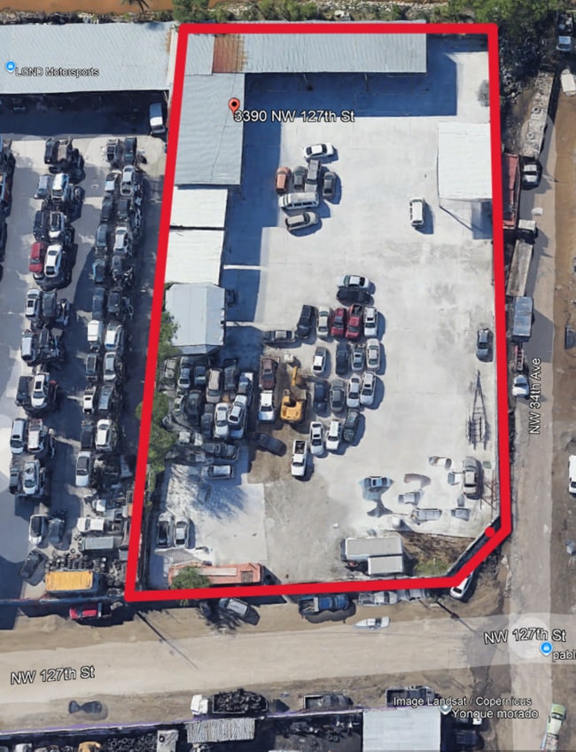

This Property Is For Sale
NEARBY LISTINGS FOR SALE OR LEASE
Property Detail
15060 Nw 22Nd Ave
Miami-Miami Beach-Kendall, FL
2Nd Rev Plat Nile Gardens
08-2128-008-0012
28-29 52 41 .978 AC 2ND REV PLAT NILE GARDENS SEC 1 PB 39-26 PORT OF TR 302-A DESC BEG 10FTE OF SW COR TR 302-A TH N 00 DEG E 250.60FT N 42 DEG E 35.08FT ELY AD 131.64FT S 00 DEG W 278.91FT S 89 DEG W 155.33FT TO POB LOT SIZE 42639 SQ FT FAU 08-2128-
Industrialacreage
Miami/Dade
AH
Florida
12086C0119L
0.98 AC
2024
Miami Gardens/Opa Locka
2025
South Florida
000508
DEMOGRAPHICS near 15060 Nw 22Nd Ave
1 Mile
3 Mile
5 Mile
2024 Total Population
9,683
148,418
554,034
2029 Population
10,331
157,084
589,291
Pop Growth 2024-2029
+ 6.69%
+ 5.84%
+ 6.36%
Average Age
38
42
42
2024 Total Households
3,486
45,402
181,056
HH Growth 2024-2029
+ 6.74%
+ 5.80%
+ 6.32%
Median Household Inc
$41,098
$58,819
$56,556
Avg Household Size
2.70
3.10
2.90
2024 Avg HH Vehicles
1.00
2.00
2.00
Median Home Value
$312,077
$392,797
$403,252
Median Year Built
1971
1959
1968
Nearby Places
Map Layers
Map Styles
 Street
 Aerial
- Restaurants
- Banks
- Shops
- Fitness
- Groceries
PUBLIC TRANSPORTATION
COMMUTER RAIL
Opa-Locka (Tri-County Commuter - South Florida Regional Transportation Authority (Tri-Rail))
DRIVE
WALK
Distance
Opa-Locka (Tri-County Commuter - South Florida Regional Transportation Authority (Tri-Rail))
5 min
20 min
1.0 mi
Northside (Metrorail Green Line - Miami-Dade Transit (Metrorail/Metromover))
DRIVE
WALK
Distance
Northside (Metrorail Green Line - Miami-Dade Transit (Metrorail/Metromover))
8 min
3.5 mi
AIRPORT
Miami International
DRIVE
WALK
Distance
Miami International
27 min
11.4 mi
Fort Lauderdale/Hollywood International
DRIVE
WALK
Distance
Fort Lauderdale/Hollywood International
28 min
16.7 mi
Freight Ports
Port of Miami
DRIVE
WALK
Distance
Port of Miami
24 min
13.1 mi
Nearby Properties
Address
Land Use
TOTAL SIZE
Lot Size
Zoning
Address
Land Use
TOTAL SIZE
Lot Size
Zoning
1,837,228 SF
498.34 AC
8500
Address
Land Use
TOTAL SIZE
Lot Size
Zoning
614,708 SF
22.54 AC
4400
Address
Land Use
TOTAL SIZE
Lot Size
Zoning
510,395 SF
28.32 AC
6500
Address
Land Use
TOTAL SIZE
Lot Size
Zoning
970,804 SF
46.92 AC
7100
Address
Land Use
TOTAL SIZE
Lot Size
Zoning
446,522 SF
13.14 AC
9450
Address
Land Use
TOTAL SIZE
Lot Size
Zoning
649,901 SF
124.04 AC
9400
Address
Land Use
TOTAL SIZE
Lot Size
Zoning
968,497 SF
58.61 AC
7100
Address
Land Use
TOTAL SIZE
Lot Size
Zoning
1,165,101 SF
115.84 AC
8000
Address
Land Use
TOTAL SIZE
Lot Size
Zoning
803,285 SF
63.32 AC
7100
Address
Land Use
TOTAL SIZE
Lot Size
Zoning
603,504 SF
27.15 AC
7100
Address
Land Use
TOTAL SIZE
Lot Size
Zoning
207,475 SF
51.47 AC
7100
Address
Land Use
TOTAL SIZE
Lot Size
Zoning
866,013 SF
0.11 AC
8000
Address
Land Use
TOTAL SIZE
Lot Size
Zoning
73,727 SF
232.58 AC
8054
Address
Land Use
TOTAL SIZE
Lot Size
Zoning
680,945 SF
35.56 AC
6400
Address
Land Use
TOTAL SIZE
Lot Size
Zoning
389,450 SF
50.72 AC
9400
Address
Land Use
TOTAL SIZE
Lot Size
Zoning
11,333 SF
7.11 AC
9000
Address
Land Use
TOTAL SIZE
Lot Size
Zoning
366,063 SF
57.35 AC
7100
Address
Land Use
TOTAL SIZE
Lot Size
Zoning
68,227 SF
388.62 AC
8000
Address
Land Use
TOTAL SIZE
Lot Size
Zoning
335,221 SF
21.51 AC
6400
Address
Land Use
TOTAL SIZE
Lot Size
Zoning
483,970 SF
55.80 AC
8000
Address
Land Use
TOTAL SIZE
Lot Size
Zoning
254,859 SF
14.59 AC
7400
Address
Land Use
TOTAL SIZE
Lot Size
Zoning
479,270 SF
22.91 AC
7100
Address
Land Use
TOTAL SIZE
Lot Size
Zoning
900 SF
80 AC
8900
Address
Land Use
TOTAL SIZE
Lot Size
Zoning
244,374 SF
20.29 AC
7052
Address
Land Use
TOTAL SIZE
Lot Size
Zoning
343,553 SF
12.08 AC
7100
Address
Land Use
TOTAL SIZE
Lot Size
Zoning
234,630 SF
13.19 AC
7700
Address
Land Use
TOTAL SIZE
Lot Size
Zoning
212,384 SF
5.17 AC
7100
Address
Land Use
TOTAL SIZE
Lot Size
Zoning
15,040 SF
119.27 AC
8000
Address
Land Use
TOTAL SIZE
Lot Size
Zoning
116,472 SF
88.88 AC
9400
Address
Land Use
TOTAL SIZE
Lot Size
Zoning
18,740 SF
11.76 AC
8900
The World's #1 Commercial Real Estate Marketplace
Connect with us
© 2025 CoStar Group
The information above has been obtained from sources believed reliable. While we do not doubt its accuracy we have not verified it and make no guarantee, warranty or representation about it. It is your responsibility to independently confirm its accuracy and completeness. Any projections, opinions, assumptions, or estimates used are for example only and do not represent the current or future performance of the property. The value of this transaction to you depends on tax and other factors which should be evaluated by your tax, financial, and legal advisors. You and your advisors should conduct a careful, independent investigation of the property to determine to your satisfaction the suitability of the property for your needs.