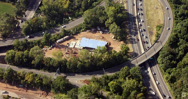
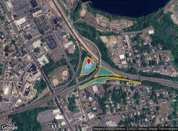
Property Record
34 E Main St, Middletown, CT 06457
Property Detail
34 E Main St
MTWN-000034-000000-000104
MIDDLESEX
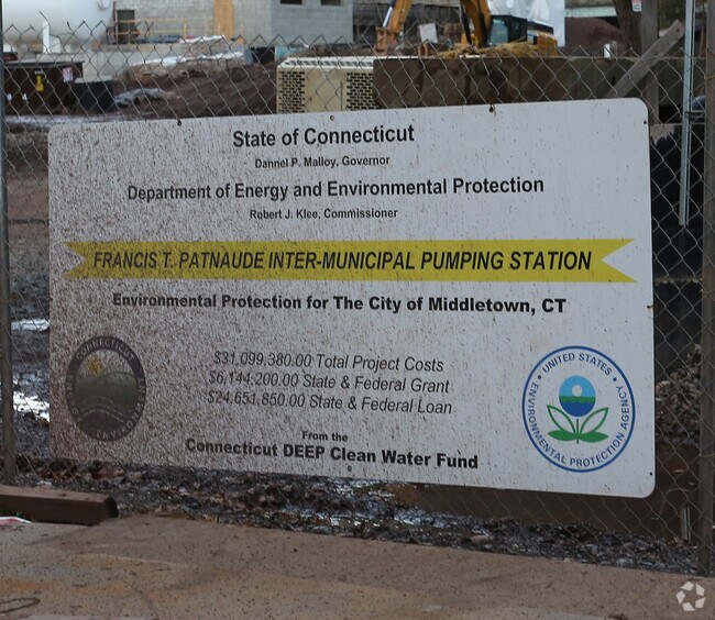
Governmentalpublicusegeneral
Connecticut
MXI
104
AE The base floodplain where base flood elevations are provided. AE Zones are now used on new format FIRMs instead of A1-A30 Zones.
7.90 AC
0
NW Middlesex/Middletown
2025
Hartford
541402
Hartford-West Hartford-East Hartford, CT
6,450 SF
NEARBY LISTINGS FOR SALE OR LEASE
-
-
View all Middletown listings for sale on LoopNet.com
DEMOGRAPHICS near 34 E Main St
1 mile
3 mile
5 mile
2024 Total Population
11,388
40,292
70,676
2029 Population
11,285
40,057
70,329
Pop Growth 2024-2029
(0.90%)
(0.58%)
(0.49%)
Average Age
36
41
42
2024 Total Households
4,430
16,611
29,998
HH Growth 2024-2029
(0.32%)
(0.42%)
(0.46%)
Median Household Inc
$51,988
$72,489
$84,427
Avg Household Size
2.00
2.20
2.20
2024 Avg HH Vehicles
1.00
2.00
2.00
Median Home Value
$224,089
$254,163
$263,811
Median Year Built
1947
1959
1971
Nearby Places
Map Layers
Map Styles
 Street
 Aerial
Transit
 Traffic
 Biking
Places
Listings with unknown addresses are not visible on the map
- Restaurants
- Banks
- Shops
- Fitness
- Groceries
PUBLIC TRANSPORTATION
COMMUTER RAIL
Meriden (Hartford Line - CONN DOT)
Drive
Walk
Distance
Meriden (Hartford Line - CONN DOT)
14 min
9.9 mi
AIRPORT
Tweed/New Haven
Drive
Walk
Distance
Tweed/New Haven
43 min
30.6 mi
Bradley International
Drive
Walk
Distance
Bradley International
52 min
34.0 mi
Freight Ports
Port of New Haven
Drive
Walk
Distance
Port of New Haven
39 min
28.3 mi
Nearby Properties
Address
Land Use
TOTAL SIZE
Lot Size
Zoning
Address
Land Use
TOTAL SIZE
Lot Size
Zoning
12.12 AC
RPZ
Address
Land Use
TOTAL SIZE
Lot Size
Zoning
32 AC
R-45
Address
Land Use
TOTAL SIZE
Lot Size
Zoning
65.89 AC
R-45
Address
Land Use
TOTAL SIZE
Lot Size
Zoning
146.96 AC
I-3
Address
Land Use
TOTAL SIZE
Lot Size
Zoning
197,789 SF
31.92 AC
R-15
Address
Land Use
TOTAL SIZE
Lot Size
Zoning
56.96 AC
R-30
Address
Land Use
TOTAL SIZE
Lot Size
Zoning
105 AC
R-45
Address
Land Use
TOTAL SIZE
Lot Size
Zoning
0.56 AC
B-1
Address
Land Use
TOTAL SIZE
Lot Size
Zoning
2.33 AC
ID
Address
Land Use
TOTAL SIZE
Lot Size
Zoning
267,588 SF
12.34 AC
ID
Address
Land Use
TOTAL SIZE
Lot Size
Zoning
27.21 AC
M
Address
Land Use
TOTAL SIZE
Lot Size
Zoning
108,540 SF
22.99 AC
R-15
Address
Land Use
TOTAL SIZE
Lot Size
Zoning
4.90 AC
ID
Address
Land Use
TOTAL SIZE
Lot Size
Zoning
35.14 AC
R-30
Address
Land Use
TOTAL SIZE
Lot Size
Zoning
7.79 AC
ID
Address
Land Use
TOTAL SIZE
Lot Size
Zoning
23.01 AC
M
Address
Land Use
TOTAL SIZE
Lot Size
Zoning
1.62 AC
ID
Address
Land Use
TOTAL SIZE
Lot Size
Zoning
65,615 SF
1.46 AC
ID
Address
Land Use
TOTAL SIZE
Lot Size
Zoning
92,766 SF
1.79 AC
ID
Address
Land Use
TOTAL SIZE
Lot Size
Zoning
10.10 AC
IND
Address
Land Use
TOTAL SIZE
Lot Size
Zoning
3.58 AC
DVD
Address
Land Use
TOTAL SIZE
Lot Size
Zoning
3.24 AC
ID
Address
Land Use
TOTAL SIZE
Lot Size
Zoning
2.49 AC
ID
Address
Land Use
TOTAL SIZE
Lot Size
Zoning
102,239 SF
1.02 AC
B-1
Address
Land Use
TOTAL SIZE
Lot Size
Zoning
6.76 AC
M
Address
Land Use
TOTAL SIZE
Lot Size
Zoning
91.69 AC
R-15
Address
Land Use
TOTAL SIZE
Lot Size
Zoning
83,241 SF
52.65 AC
R-15
Address
Land Use
TOTAL SIZE
Lot Size
Zoning
15.26 AC
MX
Address
Land Use
TOTAL SIZE
Lot Size
Zoning
67,405 SF
25 AC
R-15
Address
Land Use
TOTAL SIZE
Lot Size
Zoning
14.29 AC
MXC
The World's #1 Commercial Real Estate Marketplace
Connect with us
© 2026 CoStar Group
The information above has been obtained from sources believed reliable. While we do not doubt its accuracy we have not verified it and make no guarantee, warranty or representation about it. It is your responsibility to independently confirm its accuracy and completeness. Any projections, opinions, assumptions, or estimates used are for example only and do not represent the current or future performance of the property. The value of this transaction to you depends on tax and other factors which should be evaluated by your tax, financial, and legal advisors. You and your advisors should conduct a careful, independent investigation of the property to determine to your satisfaction the suitability of the property for your needs.