Property Record
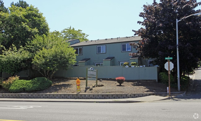
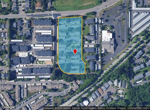
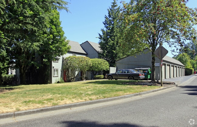
340 Sw Halsey Loop, Troutdale, OR 97060

Property Detail
340 Sw Halsey Loop
R320796
SECTION 26 1N 3E, TL 2200 3.87 ACRES
Multifamilydwelling
Multnomah
X
Oregon
41051C0217J
3.87 AC
2025
Outlying Troutdale/Gresham
2025
Portland
010303
Portland-Vancouver-Hillsboro, OR-WA
50,176 SF
NEARBY LISTINGS FOR SALE OR LEASE
DEMOGRAPHICS near 340 Sw Halsey Loop
1 mile
3 mile
5 mile
2024 Total Population
8,723
55,873
172,028
2029 Population
8,469
54,578
171,754
Pop Growth 2024-2029
(2.91%)
(2.32%)
(0.16%)
Average Age
40
40
39
2024 Total Households
3,175
20,555
61,172
HH Growth 2024-2029
(3.21%)
(2.66%)
(0.42%)
Median Household Inc
$81,750
$67,317
$72,541
Avg Household Size
2.70
2.60
2.70
2024 Avg HH Vehicles
2.00
2.00
2.00
Median Home Value
$372,235
$366,996
$409,992
Median Year Built
1989
1985
1985
Nearby Places
Map Layers
Map Styles
 Street
 Aerial
Transit
 Traffic
 Biking
Places
Listings with unknown addresses are not visible on the map
- Restaurants
- Banks
- Shops
- Fitness
- Groceries
PUBLIC TRANSPORTATION
AIRPORT
Portland International
Drive
Walk
Distance
Portland International
21 min
13.0 mi
Freight Ports
Port of Portland
Drive
Walk
Distance
Port of Portland
27 min
18.5 mi
Nearby Properties
Address
Land Use
TOTAL SIZE
Lot Size
Zoning
Address
Land Use
TOTAL SIZE
Lot Size
Zoning
40.81 AC
LDR-5
Address
Land Use
TOTAL SIZE
Lot Size
Zoning
Address
Land Use
TOTAL SIZE
Lot Size
Zoning
3.20 AC
DEM
Address
Land Use
TOTAL SIZE
Lot Size
Zoning
Address
Land Use
TOTAL SIZE
Lot Size
Zoning
478,472 SF
77.86 AC
GI
Address
Land Use
TOTAL SIZE
Lot Size
Zoning
137.54 AC
GI
Address
Land Use
TOTAL SIZE
Lot Size
Zoning
302,114 SF
31.69 AC
R-5
Address
Land Use
TOTAL SIZE
Lot Size
Zoning
8.69 AC
NULL
Address
Land Use
TOTAL SIZE
Lot Size
Zoning
857,470 SF
73.72 AC
GI
Address
Land Use
TOTAL SIZE
Lot Size
Zoning
836,366 SF
38.86 AC
LI
Address
Land Use
TOTAL SIZE
Lot Size
Zoning
14,059 SF
12.83 AC
GI
Address
Land Use
TOTAL SIZE
Lot Size
Zoning
197,834 SF
8.67 AC
R5
Address
Land Use
TOTAL SIZE
Lot Size
Zoning
237,815 SF
22.70 AC
TLDR
Address
Land Use
TOTAL SIZE
Lot Size
Zoning
191,466 SF
34.68 AC
R/CSP
Address
Land Use
TOTAL SIZE
Lot Size
Zoning
219,470 SF
9.77 AC
R_MF
Address
Land Use
TOTAL SIZE
Lot Size
Zoning
118,460 SF
28.10 AC
BP
Address
Land Use
TOTAL SIZE
Lot Size
Zoning
213,544 SF
6.64 AC
A2
Address
Land Use
TOTAL SIZE
Lot Size
Zoning
273,264 SF
11.39 AC
CMF
Address
Land Use
TOTAL SIZE
Lot Size
Zoning
85,380 SF
5.04 AC
TD
Address
Land Use
TOTAL SIZE
Lot Size
Zoning
156,393 SF
5.82 AC
GC
Address
Land Use
TOTAL SIZE
Lot Size
Zoning
733,232 SF
37.41 AC
NULL
Address
Land Use
TOTAL SIZE
Lot Size
Zoning
Address
Land Use
TOTAL SIZE
Lot Size
Zoning
349,080 SF
18.69 AC
GI
Address
Land Use
TOTAL SIZE
Lot Size
Zoning
61,524 SF
7.31 AC
LDR-5
Address
Land Use
TOTAL SIZE
Lot Size
Zoning
19.55 AC
GI
Address
Land Use
TOTAL SIZE
Lot Size
Zoning
87,429 SF
0.95 AC
DTM
Address
Land Use
TOTAL SIZE
Lot Size
Zoning
194,991 SF
5.56 AC
TCC
Address
Land Use
TOTAL SIZE
Lot Size
Zoning
70,955 SF
4.78 AC
R/CSP
Address
Land Use
TOTAL SIZE
Lot Size
Zoning
95,901 SF
4.91 AC
CC
Address
Land Use
TOTAL SIZE
Lot Size
Zoning
67,554 SF
3.88 AC
TD
The World's #1 Commercial Real Estate Marketplace
Connect with us
© 2026 CoStar Group
The information above has been obtained from sources believed reliable. While we do not doubt its accuracy we have not verified it and make no guarantee, warranty or representation about it. It is your responsibility to independently confirm its accuracy and completeness. Any projections, opinions, assumptions, or estimates used are for example only and do not represent the current or future performance of the property. The value of this transaction to you depends on tax and other factors which should be evaluated by your tax, financial, and legal advisors. You and your advisors should conduct a careful, independent investigation of the property to determine to your satisfaction the suitability of the property for your needs.