Property Record
3420 The Plz, Charlotte, NC 28205


NEARBY LISTINGS FOR SALE OR LEASE
Property Detail
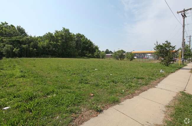
3420 The Plz
Charlotte-Concord-Gastonia, NC-SC
Plaza Heights
093-051-07
L10-14 M3-261
Commercialnec
Mecklenburg
X
North Carolina
3710456400K
10-14
2024
2.01 AC
2025
Plaza Midwood/NoDa
001300
Charlotte
DEMOGRAPHICS near 3420 The Plz
1 Mile
3 Mile
5 Mile
2024 Total Population
13,070
114,536
296,257
2029 Population
14,042
122,313
315,686
Pop Growth 2024-2029
+ 7.44%
+ 6.79%
+ 6.56%
Average Age
36
36
36
2024 Total Households
6,244
51,205
129,264
HH Growth 2024-2029
+ 7.51%
+ 7.01%
+ 6.75%
Median Household Inc
$73,997
$58,215
$62,978
Avg Household Size
2.00
2.10
2.20
2024 Avg HH Vehicles
2.00
1.00
2.00
Median Home Value
$454,721
$338,231
$318,854
Median Year Built
1978
1983
1989
Nearby Places
Map Layers
Map Styles
 Street
 Aerial
- Restaurants
- Banks
- Shops
- Fitness
- Groceries
PUBLIC TRANSPORTATION
AIRPORT
Charlotte/Douglas International
DRIVE
WALK
Distance
Charlotte/Douglas International
25 min
15.7 mi
SALE & LEASE HISTORY
LISTING DATE
SALE/LEASE

Apr 25, 2019
For Sale
Nearby Properties
Address
Land Use
TOTAL SIZE
Lot Size
Zoning
Address
Land Use
TOTAL SIZE
Lot Size
Zoning
780,000 SF
7.69 AC
UMUD-O
Address
Land Use
TOTAL SIZE
Lot Size
Zoning
1,097,257 SF
2.34 AC
UMUD-O
Address
Land Use
TOTAL SIZE
Lot Size
Zoning
955,273 SF
1.83 AC
Address
Land Use
TOTAL SIZE
Lot Size
Zoning
1,250,218 SF
17.75 AC
O2
Address
Land Use
TOTAL SIZE
Lot Size
Zoning
1,097,857 SF
2.40 AC
UMUDO
Address
Land Use
TOTAL SIZE
Lot Size
Zoning
1,052,203 SF
2.17 AC
Address
Land Use
TOTAL SIZE
Lot Size
Zoning
1,752,744 SF
3.20 AC
UMUDO
Address
Land Use
TOTAL SIZE
Lot Size
Zoning
852,355 SF
16.72 AC
MUDDO
Address
Land Use
TOTAL SIZE
Lot Size
Zoning
1,053,936 SF
2.47 AC
UMUD
Address
Land Use
TOTAL SIZE
Lot Size
Zoning
865,160 SF
2.80 AC
UMUD
Address
Land Use
TOTAL SIZE
Lot Size
Zoning
1,017,564 SF
13.91 AC
O2
Address
Land Use
TOTAL SIZE
Lot Size
Zoning
916,725 SF
2.35 AC
UMUD
Address
Land Use
TOTAL SIZE
Lot Size
Zoning
944,863 SF
3.58 AC
UMUD
Address
Land Use
TOTAL SIZE
Lot Size
Zoning
864,694 SF
11.07 AC
MUDDO
Address
Land Use
TOTAL SIZE
Lot Size
Zoning
588,300 SF
1.45 AC
Address
Land Use
TOTAL SIZE
Lot Size
Zoning
768,780 SF
6.84 AC
UMUDO
Address
Land Use
TOTAL SIZE
Lot Size
Zoning
471,602 SF
1.82 AC
UMUD
Address
Land Use
TOTAL SIZE
Lot Size
Zoning
663,752 SF
1.21 AC
UMUD
Address
Land Use
TOTAL SIZE
Lot Size
Zoning
733,107 SF
3.48 AC
UMUD
Address
Land Use
TOTAL SIZE
Lot Size
Zoning
729,709 SF
10.67 AC
B2
Address
Land Use
TOTAL SIZE
Lot Size
Zoning
71.86 AC
UR-3
Address
Land Use
TOTAL SIZE
Lot Size
Zoning
690,862 SF
136.80 AC
R17MF
Address
Land Use
TOTAL SIZE
Lot Size
Zoning
447,803 SF
0.27 AC
Address
Land Use
TOTAL SIZE
Lot Size
Zoning
606,594 SF
3.45 AC
MUDDO
Address
Land Use
TOTAL SIZE
Lot Size
Zoning
311,425 SF
0.92 AC
UMUD
Address
Land Use
TOTAL SIZE
Lot Size
Zoning
474,802 SF
0.82 AC
UMUD
Address
Land Use
TOTAL SIZE
Lot Size
Zoning
605,542 SF
586.46 AC
Address
Land Use
TOTAL SIZE
Lot Size
Zoning
643,185 SF
2.34 AC
UMUD
Address
Land Use
TOTAL SIZE
Lot Size
Zoning
633,440 SF
0.01 AC
Address
Land Use
TOTAL SIZE
Lot Size
Zoning
533,477 SF
3.15 AC
I2
The World's #1 Commercial Real Estate Marketplace
Connect with us
© 2026 CoStar Group
The information above has been obtained from sources believed reliable. While we do not doubt its accuracy we have not verified it and make no guarantee, warranty or representation about it. It is your responsibility to independently confirm its accuracy and completeness. Any projections, opinions, assumptions, or estimates used are for example only and do not represent the current or future performance of the property. The value of this transaction to you depends on tax and other factors which should be evaluated by your tax, financial, and legal advisors. You and your advisors should conduct a careful, independent investigation of the property to determine to your satisfaction the suitability of the property for your needs.