Property Record
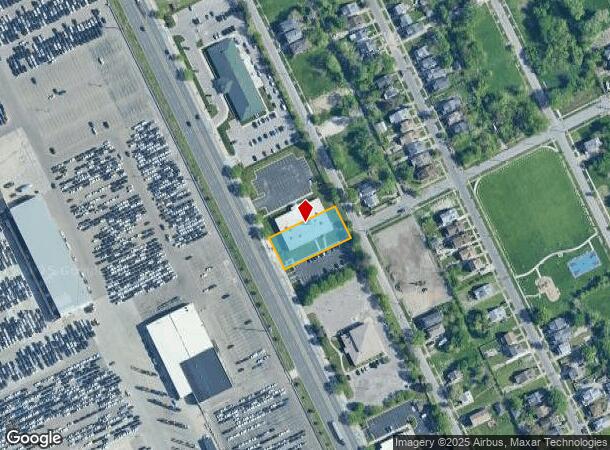
3410 Conner St, Detroit, MI 48215


NEARBY LISTINGS FOR SALE OR LEASE
Property Detail
3410 Conner St
21-0461213
Conner Industrial No 1
Officebuilding
E CONNER 24JEFFERSON-CONNER INDUSTRIAL SUB NO 1 L111 P1-3 PLATS W C R 21/1049 21,299 SQ FT
X
Wayne
26163C0140F
Michigan
2025
0.49 AC
2025
Detroit E of Woodward
512800
Detroit
14,000 SF
Detroit-Warren-Dearborn, MI
DEMOGRAPHICS near 3410 Conner St
1 mile
3 mile
5 mile
2024 Total Population
7,793
112,814
254,970
2029 Population
8,081
113,780
253,683
Pop Growth 2024-2029
+ 3.70%
+ 0.86%
(0.50%)
Average Age
39
40
39
2024 Total Households
3,163
46,004
100,302
HH Growth 2024-2029
+ 3.98%
+ 0.72%
(0.62%)
Median Household Inc
$21,837
$39,565
$42,589
Avg Household Size
2.30
2.30
2.40
2024 Avg HH Vehicles
1.00
1.00
1.00
Median Home Value
$98,092
$111,789
$109,220
Median Year Built
1954
1948
1950
Nearby Places
Map Layers
Map Styles
 Street
 Aerial
Transit
 Traffic
 Biking
Places
Listings with unknown addresses are not visible on the map
- Restaurants
- Banks
- Shops
- Fitness
- Groceries
PUBLIC TRANSPORTATION
COMMUTER RAIL
Drive
Walk
Distance
13 min
6.9 mi
Drive
Walk
Distance
24 min
9.4 mi
AIRPORT
Windsor International
Drive
Walk
Distance
Windsor International
38 min
15.2 mi
Detroit Metro Wayne County
Drive
Walk
Distance
Detroit Metro Wayne County
42 min
27.8 mi
SALE & LEASE HISTORY
LISTING DATE
SALE/LEASE

Oct 06, 2022
For Lease
Nearby Properties
Address
Land Use
TOTAL SIZE
Lot Size
Zoning
Address
Land Use
TOTAL SIZE
Lot Size
Zoning
2,958,207 SF
277.38 AC
M4
Address
Land Use
TOTAL SIZE
Lot Size
Zoning
2,005,073 SF
108.66 AC
M4
Address
Land Use
TOTAL SIZE
Lot Size
Zoning
461,840 SF
4.78 AC
R6
Address
Land Use
TOTAL SIZE
Lot Size
Zoning
384,217 SF
3.40 AC
R6
Address
Land Use
TOTAL SIZE
Lot Size
Zoning
381,920 SF
0.68 AC
R6
Address
Land Use
TOTAL SIZE
Lot Size
Zoning
929,400 SF
52.48 AC
M4
Address
Land Use
TOTAL SIZE
Lot Size
Zoning
482,649 SF
M4
Address
Land Use
TOTAL SIZE
Lot Size
Zoning
648,928 SF
5.46 AC
R6
Address
Land Use
TOTAL SIZE
Lot Size
Zoning
298,117 SF
15.97 AC
PD
Address
Land Use
TOTAL SIZE
Lot Size
Zoning
267,185 SF
13.08 AC
PD
Address
Land Use
TOTAL SIZE
Lot Size
Zoning
165,834 SF
6.77 AC
R6
Address
Land Use
TOTAL SIZE
Lot Size
Zoning
144,578 SF
7.10 AC
PD
Address
Land Use
TOTAL SIZE
Lot Size
Zoning
300,000 SF
0.29 AC
M4
Address
Land Use
TOTAL SIZE
Lot Size
Zoning
136,576 SF
8.23 AC
R6
Address
Land Use
TOTAL SIZE
Lot Size
Zoning
57.16 AC
M4
Address
Land Use
TOTAL SIZE
Lot Size
Zoning
93,296 SF
1.05 AC
C-2
Address
Land Use
TOTAL SIZE
Lot Size
Zoning
358,327 SF
M4
Address
Land Use
TOTAL SIZE
Lot Size
Zoning
161,250 SF
0.50 AC
R2
Address
Land Use
TOTAL SIZE
Lot Size
Zoning
302,305 SF
M4
Address
Land Use
TOTAL SIZE
Lot Size
Zoning
41,000 SF
C-1
Address
Land Use
TOTAL SIZE
Lot Size
Zoning
122,600 SF
0.07 AC
B4
Address
Land Use
TOTAL SIZE
Lot Size
Zoning
12,676 SF
1.93 AC
Address
Land Use
TOTAL SIZE
Lot Size
Zoning
89,897 SF
2.23 AC
Address
Land Use
TOTAL SIZE
Lot Size
Zoning
129,260 SF
3 AC
B4
Address
Land Use
TOTAL SIZE
Lot Size
Zoning
88,592 SF
0.46 AC
R2
Address
Land Use
TOTAL SIZE
Lot Size
Zoning
72,940 SF
83.37 AC
M4
Address
Land Use
TOTAL SIZE
Lot Size
Zoning
52,452 SF
0.54 AC
Address
Land Use
TOTAL SIZE
Lot Size
Zoning
7,787 SF
1.12 AC
Address
Land Use
TOTAL SIZE
Lot Size
Zoning
9,683 SF
1.91 AC
Address
Land Use
TOTAL SIZE
Lot Size
Zoning
93,850 SF
6.56 AC
The World's #1 Commercial Real Estate Marketplace
Connect with us
© 2026 CoStar Group
The information above has been obtained from sources believed reliable. While we do not doubt its accuracy we have not verified it and make no guarantee, warranty or representation about it. It is your responsibility to independently confirm its accuracy and completeness. Any projections, opinions, assumptions, or estimates used are for example only and do not represent the current or future performance of the property. The value of this transaction to you depends on tax and other factors which should be evaluated by your tax, financial, and legal advisors. You and your advisors should conduct a careful, independent investigation of the property to determine to your satisfaction the suitability of the property for your needs.