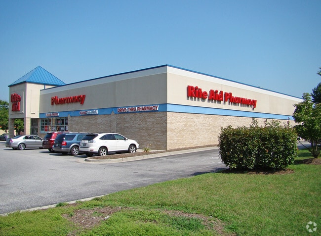
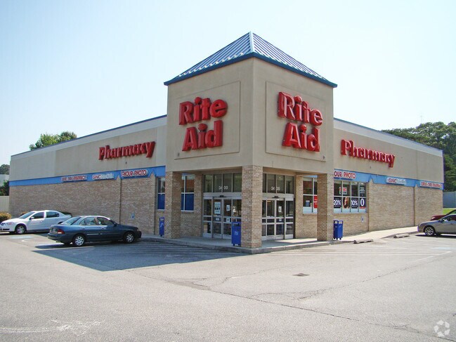
Property Record
3410 Mountain Rd, Pasadena, MD 21122

Save to a Folder
{{folder.Name}}
{{folder.ListingIds.length}} Properties
{{folder.ListingIds.length}} Property
Create a New Folder
Property Detail
3410 Mountain Rd
03-000-32708400
2 ACRE JACOBSVILLE
Loftbuilding
Anne Arundel
C3
Maryland
B and X Area of moderate flood hazard, usually the area between the limits of the 100-year and 500-year floods.
2 AC
2024
Route 2 Corridor North
2025
Baltimore
731307
Baltimore-Columbia-Towson, MD
1,625 SF
NEARBY LISTINGS FOR SALE OR LEASE
DEMOGRAPHICS near 3410 Mountain Rd
1 mile
3 mile
5 mile
2025 Total Population
10,761
61,852
151,182
2030 Population
10,868
62,408
152,650
Pop Growth 2025-2030
+ 0.99%
+ 0.90%
+ 0.97%
Average Age
39
41
40
2025 Total Households
3,939
22,222
54,568
HH Growth 2025-2030
+ 1.02%
+ 0.97%
+ 1.01%
Median Household Inc
$105,531
$117,680
$118,608
Avg Household Size
2.70
2.70
2.70
2025 Avg HH Vehicles
2.00
2.00
2.00
Median Home Value
$369,171
$425,705
$451,510
Median Year Built
1984
1982
1980
Nearby Places
Map Layers
Map Styles
 Street
 Aerial
Layers
 Traffic
 Biking
Places
Listings with unknown addresses are not visible on the map
- Restaurants
- Banks
- Shops
- Fitness
- Groceries
PUBLIC TRANSPORTATION
AIRPORT
Baltimore/Washington International Thurgood Marshall
Drive
Walk
Distance
Baltimore/Washington International Thurgood Marshall
22 min
13.1 mi
Ronald Reagan Washington Ntl
Drive
Walk
Distance
Ronald Reagan Washington Ntl
64 min
42.2 mi
Freight Ports
Port of Baltimore
Drive
Walk
Distance
Port of Baltimore
28 min
18.4 mi
Nearby Properties
Address
Land Use
TOTAL SIZE
Lot Size
Zoning
Address
Land Use
TOTAL SIZE
Lot Size
Zoning
285,360 SF
14.96 AC
Address
Land Use
TOTAL SIZE
Lot Size
Zoning
123,376 SF
25.42 AC
C3
Address
Land Use
TOTAL SIZE
Lot Size
Zoning
238,688 SF
35 AC
R5
Address
Land Use
TOTAL SIZE
Lot Size
Zoning
166,646 SF
4.61 AC
R22
Address
Land Use
TOTAL SIZE
Lot Size
Zoning
106,160 SF
5.11 AC
R-2
Address
Land Use
TOTAL SIZE
Lot Size
Zoning
122,175 SF
7.32 AC
R5
Address
Land Use
TOTAL SIZE
Lot Size
Zoning
209,143 SF
19.29 AC
C3
Address
Land Use
TOTAL SIZE
Lot Size
Zoning
79,311 SF
3.90 AC
C2
Address
Land Use
TOTAL SIZE
Lot Size
Zoning
191,856 SF
5.61 AC
R15
Address
Land Use
TOTAL SIZE
Lot Size
Zoning
80,512 SF
4.87 AC
R22
Address
Land Use
TOTAL SIZE
Lot Size
Zoning
141,829 SF
29.38 AC
R5
Address
Land Use
TOTAL SIZE
Lot Size
Zoning
45,570 SF
3.46 AC
C4
Address
Land Use
TOTAL SIZE
Lot Size
Zoning
99,218 SF
2.96 AC
R22
Address
Land Use
TOTAL SIZE
Lot Size
Zoning
90,488 SF
9.82 AC
C3
Address
Land Use
TOTAL SIZE
Lot Size
Zoning
195,528 SF
5.36 AC
R22
Address
Land Use
TOTAL SIZE
Lot Size
Zoning
10.90 AC
R15
Address
Land Use
TOTAL SIZE
Lot Size
Zoning
70,452 SF
15.69 AC
R5
Address
Land Use
TOTAL SIZE
Lot Size
Zoning
70,288 SF
17.86 AC
R5
Address
Land Use
TOTAL SIZE
Lot Size
Zoning
65,526 SF
6.23 AC
C2
Address
Land Use
TOTAL SIZE
Lot Size
Zoning
66,800 SF
17.42 AC
R5
Address
Land Use
TOTAL SIZE
Lot Size
Zoning
90,833 SF
10.89 AC
C3
Address
Land Use
TOTAL SIZE
Lot Size
Zoning
79,508 SF
9.94 AC
R5
Address
Land Use
TOTAL SIZE
Lot Size
Zoning
49,070 SF
2.80 AC
C4
Address
Land Use
TOTAL SIZE
Lot Size
Zoning
72,353 SF
7.41 AC
C3
Address
Land Use
TOTAL SIZE
Lot Size
Zoning
63,500 SF
58.60 AC
R1
Address
Land Use
TOTAL SIZE
Lot Size
Zoning
97,324 SF
4.61 AC
R2
Address
Land Use
TOTAL SIZE
Lot Size
Zoning
86,500 SF
1.78 AC
C4
Address
Land Use
TOTAL SIZE
Lot Size
Zoning
13,322 SF
180.89 AC
RLD
Address
Land Use
TOTAL SIZE
Lot Size
Zoning
53,391 SF
6.92 AC
C3
Address
Land Use
TOTAL SIZE
Lot Size
Zoning
30,210 SF
8.93 AC
R1
The World's #1 Commercial Real Estate Marketplace
Connect with us
© 2026 CoStar Group
The information above has been obtained from sources believed reliable. While we do not doubt its accuracy we have not verified it and make no guarantee, warranty or representation about it. It is your responsibility to independently confirm its accuracy and completeness. Any projections, opinions, assumptions, or estimates used are for example only and do not represent the current or future performance of the property. The value of this transaction to you depends on tax and other factors which should be evaluated by your tax, financial, and legal advisors. You and your advisors should conduct a careful, independent investigation of the property to determine to your satisfaction the suitability of the property for your needs.