Property Record
3415 Whichard Rd, Greenville, NC 27834


Property Detail
3415 Whichard Rd
078334
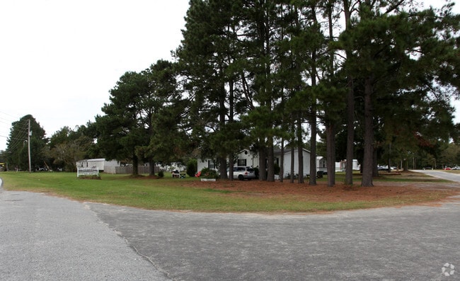
FAIRVIEW MHP
Realpropertynec
PITT
R6MH
North Carolina
AE The base floodplain where base flood elevations are provided. AE Zones are now used on new format FIRMs instead of A1-A30 Zones.
18.67 AC
2025
North Carolina Northeast Area
2025
Other Market Areas
000800
Greenville, NC
NEARBY LISTINGS FOR SALE OR LEASE
-
-
View all Greenville listings for sale on LoopNet.com
DEMOGRAPHICS near 3415 Whichard Rd
1 mile
3 mile
5 mile
2025 Total Population
1,847
32,754
78,517
2030 Population
1,959
34,622
81,890
Pop Growth 2025-2030
+ 6.06%
+ 5.70%
+ 4.30%
Average Age
36
31
35
2025 Total Households
729
12,314
32,259
HH Growth 2025-2030
+ 5.62%
+ 7.09%
+ 4.76%
Median Household Inc
$38,954
$41,259
$52,494
Avg Household Size
2.10
2.00
2.20
2025 Avg HH Vehicles
2.00
2.00
2.00
Median Home Value
$222,590
$212,195
$233,650
Median Year Built
2003
1987
1990
Nearby Places
Map Layers
Map Styles
 Street
 Aerial
Layers
 Traffic
 Biking
Places
Listings with unknown addresses are not visible on the map
- Restaurants
- Banks
- Shops
- Fitness
- Groceries
PUBLIC TRANSPORTATION
AIRPORT
Pitt-Greenville
Drive
Walk
Distance
Pitt-Greenville
11 min
6.0 mi
Freight Ports
Port of Morehead City
Drive
Walk
Distance
Port of Morehead City
130 min
86.1 mi
SALE & LEASE HISTORY
LISTING DATE
SALE/LEASE

May 17, 2019
For Sale
Nearby Properties
Address
Land Use
TOTAL SIZE
Lot Size
Zoning
Address
Land Use
TOTAL SIZE
Lot Size
Zoning
1,555,005 SF
61.20 AC
OR
Address
Land Use
TOTAL SIZE
Lot Size
Zoning
207,166 SF
36.57 AC
OR
Address
Land Use
TOTAL SIZE
Lot Size
Zoning
780,261 SF
36.60 AC
OR
Address
Land Use
TOTAL SIZE
Lot Size
Zoning
1,002,223 SF
39.45 AC
OR
Address
Land Use
TOTAL SIZE
Lot Size
Zoning
1,585,097 SF
142.93 AC
IU
Address
Land Use
TOTAL SIZE
Lot Size
Zoning
473,026 SF
0.69 AC
OR
Address
Land Use
TOTAL SIZE
Lot Size
Zoning
275,664 SF
93.97 AC
R6
Address
Land Use
TOTAL SIZE
Lot Size
Zoning
339,992 SF
115.67 AC
CH
Address
Land Use
TOTAL SIZE
Lot Size
Zoning
682,180 SF
4.57 AC
CDF-UC
Address
Land Use
TOTAL SIZE
Lot Size
Zoning
506,392 SF
86.99 AC
IU
Address
Land Use
TOTAL SIZE
Lot Size
Zoning
253,726 SF
35.42 AC
PIU
Address
Land Use
TOTAL SIZE
Lot Size
Zoning
282,000 SF
0.94 AC
OR
Address
Land Use
TOTAL SIZE
Lot Size
Zoning
180,500 SF
2.17 AC
CD
Address
Land Use
TOTAL SIZE
Lot Size
Zoning
24,993 SF
15.81 AC
OR
Address
Land Use
TOTAL SIZE
Lot Size
Zoning
348,438 SF
3.89 AC
CD
Address
Land Use
TOTAL SIZE
Lot Size
Zoning
232,380 SF
666.85 AC
IU
Address
Land Use
TOTAL SIZE
Lot Size
Zoning
328,680 SF
2.04 AC
CD
Address
Land Use
TOTAL SIZE
Lot Size
Zoning
356,216 SF
4.08 AC
CDF-UC
Address
Land Use
TOTAL SIZE
Lot Size
Zoning
38,214 SF
40.39 AC
OR
Address
Land Use
TOTAL SIZE
Lot Size
Zoning
24,161 SF
53.66 AC
R6A
Address
Land Use
TOTAL SIZE
Lot Size
Zoning
138,115 SF
13.60 AC
OR
Address
Land Use
TOTAL SIZE
Lot Size
Zoning
109,461 SF
1.89 AC
CD
Address
Land Use
TOTAL SIZE
Lot Size
Zoning
16,462 SF
30.51 AC
OR
Address
Land Use
TOTAL SIZE
Lot Size
Zoning
152,055 SF
1.77 AC
OR
Address
Land Use
TOTAL SIZE
Lot Size
Zoning
103,256 SF
8.80 AC
OR
Address
Land Use
TOTAL SIZE
Lot Size
Zoning
536,862 SF
38.22 AC
PIU
Address
Land Use
TOTAL SIZE
Lot Size
Zoning
267,434 SF
15.37 AC
PIU
Address
Land Use
TOTAL SIZE
Lot Size
Zoning
20,138 SF
26.90 AC
R6A
Address
Land Use
TOTAL SIZE
Lot Size
Zoning
849,820 SF
77.56 AC
I
Address
Land Use
TOTAL SIZE
Lot Size
Zoning
31.04 AC
R6S
The World's #1 Commercial Real Estate Marketplace
Connect with us
© 2026 CoStar Group
The information above has been obtained from sources believed reliable. While we do not doubt its accuracy we have not verified it and make no guarantee, warranty or representation about it. It is your responsibility to independently confirm its accuracy and completeness. Any projections, opinions, assumptions, or estimates used are for example only and do not represent the current or future performance of the property. The value of this transaction to you depends on tax and other factors which should be evaluated by your tax, financial, and legal advisors. You and your advisors should conduct a careful, independent investigation of the property to determine to your satisfaction the suitability of the property for your needs.