Property Record
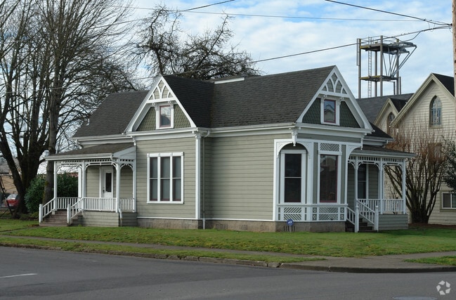
342 1St Ave Se, Albany, OR 97321


Property Detail
342 1St Ave Se
0082509
11S03W06CD
Commercialnec
Linn
CB
Oregon
C and X Area of minimal flood hazard, usually depicted on FIRMs as above the 500-year flood level.
4
2025
0.18 AC
2025
Linn County
020400
Portland
1,806 SF
Albany, OR
NEARBY LISTINGS FOR SALE OR LEASE
DEMOGRAPHICS near 342 1St Ave Se
1 mile
3 mile
5 mile
2025 Total Population
9,090
55,132
65,600
2030 Population
9,191
55,955
66,766
Pop Growth 2025-2030
+ 1.11%
+ 1.49%
+ 1.78%
Average Age
40
40
41
2025 Total Households
3,625
21,494
25,457
HH Growth 2025-2030
+ 1.19%
+ 1.53%
+ 1.81%
Median Household Inc
$67,697
$73,394
$76,781
Avg Household Size
2.40
2.50
2.50
2025 Avg HH Vehicles
2.00
2.00
2.00
Median Home Value
$387,815
$394,706
$417,785
Median Year Built
1957
1978
1980
Nearby Places
Map Layers
Map Styles
 Street
 Aerial
Layers
 Traffic
 Biking
Places
Listings with unknown addresses are not visible on the map
- Restaurants
- Banks
- Shops
- Fitness
- Groceries
PUBLIC TRANSPORTATION
COMMUTER RAIL
Albany Amtrak Station (Amtrak Cascades - Amtrak, Coast Starlight - Amtrak)
Drive
Walk
Distance
Albany Amtrak Station (Amtrak Cascades - Amtrak, Coast Starlight - Amtrak)
2 min
11 min
0.6 mi
Freight Ports
Port of Portland
Drive
Walk
Distance
Port of Portland
92 min
72.0 mi
Nearby Properties
Address
Land Use
TOTAL SIZE
Lot Size
Zoning
Address
Land Use
TOTAL SIZE
Lot Size
Zoning
1.94 AC
Address
Land Use
TOTAL SIZE
Lot Size
Zoning
34.91 AC
LI
Address
Land Use
TOTAL SIZE
Lot Size
Zoning
41.22 AC
LI
Address
Land Use
TOTAL SIZE
Lot Size
Zoning
46.43 AC
GI
Address
Land Use
TOTAL SIZE
Lot Size
Zoning
18.57 AC
RC
Address
Land Use
TOTAL SIZE
Lot Size
Zoning
33,540 SF
2.19 AC
ES
Address
Land Use
TOTAL SIZE
Lot Size
Zoning
23,340 SF
10.60 AC
CC
Address
Land Use
TOTAL SIZE
Lot Size
Zoning
28.17 AC
HI
Address
Land Use
TOTAL SIZE
Lot Size
Zoning
20.04 AC
LI
Address
Land Use
TOTAL SIZE
Lot Size
Zoning
3.75 AC
OP
Address
Land Use
TOTAL SIZE
Lot Size
Zoning
13.01 AC
RC
Address
Land Use
TOTAL SIZE
Lot Size
Zoning
67,716 SF
6.90 AC
LI
Address
Land Use
TOTAL SIZE
Lot Size
Zoning
15.63 AC
RM
Address
Land Use
TOTAL SIZE
Lot Size
Zoning
46.46 AC
GI
Address
Land Use
TOTAL SIZE
Lot Size
Zoning
43.06 AC
RS-6.5
Address
Land Use
TOTAL SIZE
Lot Size
Zoning
84,000 SF
8.99 AC
RC
Address
Land Use
TOTAL SIZE
Lot Size
Zoning
50,648 SF
8.35 AC
RS-6.5
Address
Land Use
TOTAL SIZE
Lot Size
Zoning
45,543 SF
24.28 AC
LI
Address
Land Use
TOTAL SIZE
Lot Size
Zoning
11.01 AC
CC
Address
Land Use
TOTAL SIZE
Lot Size
Zoning
666 SF
6.32 AC
RM
Address
Land Use
TOTAL SIZE
Lot Size
Zoning
11,296 SF
1.36 AC
HM
Address
Land Use
TOTAL SIZE
Lot Size
Zoning
3,591 SF
2.15 AC
RM
Address
Land Use
TOTAL SIZE
Lot Size
Zoning
15.15 AC
RM
Address
Land Use
TOTAL SIZE
Lot Size
Zoning
151,290 SF
5.45 AC
RM
Address
Land Use
TOTAL SIZE
Lot Size
Zoning
19,950 SF
11.11 AC
RC
Address
Land Use
TOTAL SIZE
Lot Size
Zoning
5.27 AC
MUC
Address
Land Use
TOTAL SIZE
Lot Size
Zoning
52,626 SF
5.40 AC
RS-6.5
Address
Land Use
TOTAL SIZE
Lot Size
Zoning
Address
Land Use
TOTAL SIZE
Lot Size
Zoning
1,795 SF
8.98 AC
RC
Address
Land Use
TOTAL SIZE
Lot Size
Zoning
31,192 SF
8.20 AC
RMA
The World's #1 Commercial Real Estate Marketplace
Connect with us
© 2026 CoStar Group
The information above has been obtained from sources believed reliable. While we do not doubt its accuracy we have not verified it and make no guarantee, warranty or representation about it. It is your responsibility to independently confirm its accuracy and completeness. Any projections, opinions, assumptions, or estimates used are for example only and do not represent the current or future performance of the property. The value of this transaction to you depends on tax and other factors which should be evaluated by your tax, financial, and legal advisors. You and your advisors should conduct a careful, independent investigation of the property to determine to your satisfaction the suitability of the property for your needs.