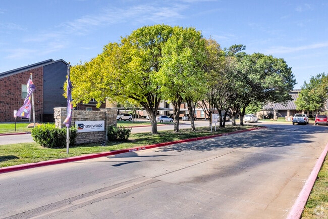
Property Record
3420 S Coulter St, Amarillo, TX 79109

Property Detail
3420 S Coulter St
R-073-0530-4940-0
SLEEPY HOLLOW # 31, LOT 005, BLK 0022, 7.9600 ACRES
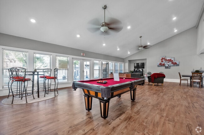
Multifamilydwelling
Randall
GR
Texas
B and X Area of moderate flood hazard, usually the area between the limits of the 100-year and 500-year floods.
5
2024
7.96 AC
2025
Amarillo
021604
Other Market Areas
200,117 SF
Amarillo, TX
NEARBY LISTINGS FOR SALE OR LEASE
-
-
View all Amarillo listings for sale on LoopNet.com
DEMOGRAPHICS near 3420 S Coulter St
1 mile
3 mile
5 mile
2025 Total Population
13,276
70,767
139,940
2030 Population
13,836
73,052
144,030
Pop Growth 2025-2030
+ 4.22%
+ 3.23%
+ 2.92%
Average Age
42
41
39
2025 Total Households
5,580
30,805
58,535
HH Growth 2025-2030
+ 4.25%
+ 3.26%
+ 2.85%
Median Household Inc
$76,348
$70,899
$70,223
Avg Household Size
2.30
2.20
2.30
2025 Avg HH Vehicles
2.00
2.00
2.00
Median Home Value
$271,206
$245,049
$231,736
Median Year Built
1977
1977
1976
Nearby Places
Map Layers
Map Styles
 Street
 Aerial
Transit
 Traffic
 Biking
Places
Listings with unknown addresses are not visible on the map
- Restaurants
- Banks
- Shops
- Fitness
- Groceries
PUBLIC TRANSPORTATION
AIRPORT
Rick Husband Amarillo International
Drive
Walk
Distance
Rick Husband Amarillo International
22 min
14.6 mi
Freight Ports
Tulsa Port Of Catoosa
Drive
Walk
Distance
Tulsa Port Of Catoosa
404 min
382.6 mi
Nearby Properties
Address
Land Use
TOTAL SIZE
Lot Size
Zoning
Address
Land Use
TOTAL SIZE
Lot Size
Zoning
343,998 SF
19.99 AC
PD
Address
Land Use
TOTAL SIZE
Lot Size
Zoning
480,593 SF
30.60 AC
O
Address
Land Use
TOTAL SIZE
Lot Size
Zoning
1,341,178 SF
16.26 AC
PD2
Address
Land Use
TOTAL SIZE
Lot Size
Zoning
202,800 SF
6.57 AC
Address
Land Use
TOTAL SIZE
Lot Size
Zoning
562,050 SF
9.76 AC
PD
Address
Land Use
TOTAL SIZE
Lot Size
Zoning
342,930 SF
34.57 AC
PD
Address
Land Use
TOTAL SIZE
Lot Size
Zoning
247,218 SF
39.36 AC
O
Address
Land Use
TOTAL SIZE
Lot Size
Zoning
207,120 SF
16.54 AC
GR
Address
Land Use
TOTAL SIZE
Lot Size
Zoning
345,555 SF
23.69 AC
PD
Address
Land Use
TOTAL SIZE
Lot Size
Zoning
373,014 SF
14.20 AC
Address
Land Use
TOTAL SIZE
Lot Size
Zoning
128,970 SF
15.03 AC
Address
Land Use
TOTAL SIZE
Lot Size
Zoning
367,924 SF
39.99 AC
PD
Address
Land Use
TOTAL SIZE
Lot Size
Zoning
129,829 SF
14.50 AC
PD2
Address
Land Use
TOTAL SIZE
Lot Size
Zoning
270,379 SF
12.12 AC
Address
Land Use
TOTAL SIZE
Lot Size
Zoning
260,680 SF
10.16 AC
Address
Land Use
TOTAL SIZE
Lot Size
Zoning
145,652 SF
20.53 AC
Address
Land Use
TOTAL SIZE
Lot Size
Zoning
485,065 SF
38.89 AC
Address
Land Use
TOTAL SIZE
Lot Size
Zoning
485,065 SF
38.89 AC
Address
Land Use
TOTAL SIZE
Lot Size
Zoning
229,869 SF
10.85 AC
Address
Land Use
TOTAL SIZE
Lot Size
Zoning
168,130 SF
16.32 AC
Address
Land Use
TOTAL SIZE
Lot Size
Zoning
92,109 SF
16.03 AC
Address
Land Use
TOTAL SIZE
Lot Size
Zoning
145,819 SF
12.89 AC
PD
Address
Land Use
TOTAL SIZE
Lot Size
Zoning
52,473 SF
5.67 AC
Address
Land Use
TOTAL SIZE
Lot Size
Zoning
112,005 SF
7.70 AC
GR
Address
Land Use
TOTAL SIZE
Lot Size
Zoning
100,099 SF
3 AC
HC
Address
Land Use
TOTAL SIZE
Lot Size
Zoning
327,117 SF
32.06 AC
PD
Address
Land Use
TOTAL SIZE
Lot Size
Zoning
227,707 SF
10.78 AC
GR
Address
Land Use
TOTAL SIZE
Lot Size
Zoning
186,001 SF
2.79 AC
PD
Address
Land Use
TOTAL SIZE
Lot Size
Zoning
186,001 SF
2.79 AC
PD
The World's #1 Commercial Real Estate Marketplace
Connect with us
© 2026 CoStar Group
The information above has been obtained from sources believed reliable. While we do not doubt its accuracy we have not verified it and make no guarantee, warranty or representation about it. It is your responsibility to independently confirm its accuracy and completeness. Any projections, opinions, assumptions, or estimates used are for example only and do not represent the current or future performance of the property. The value of this transaction to you depends on tax and other factors which should be evaluated by your tax, financial, and legal advisors. You and your advisors should conduct a careful, independent investigation of the property to determine to your satisfaction the suitability of the property for your needs.