Property Record
3427 Via Montebello, Carlsbad, CA 92009
NEARBY LISTINGS FOR SALE OR LEASE
Property Detail
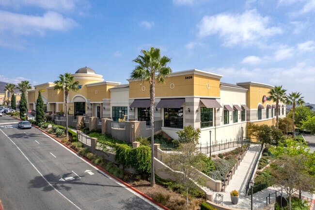
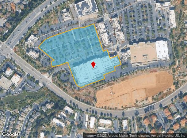
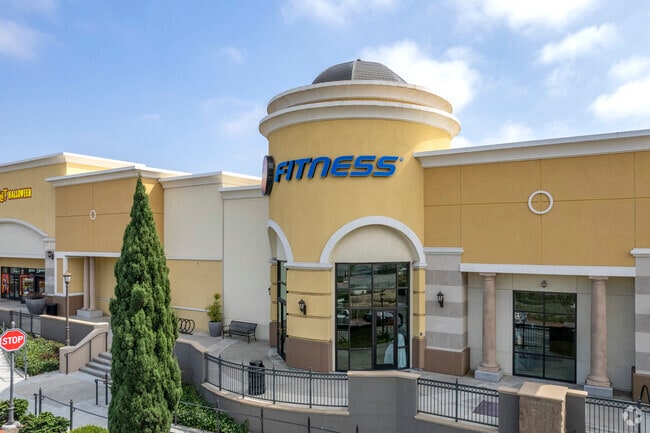
3427 Via Montebello
San Diego-Carlsbad, CA
Carlsbad 01-09
223-053-13
LOT 13 TR 015998
Regionalshoppingcenterormallwithanchorstore
San Diego
X
California
06073C1055G
13
2024
7.19 AC
2025
Carlsbad
017109
San Diego
87,181 SF
DEMOGRAPHICS near 3427 Via Montebello
1 Mile
3 Mile
5 Mile
2024 Total Population
12,077
76,006
173,607
2029 Population
11,924
75,097
172,069
Pop Growth 2024-2029
(1.27%)
(1.20%)
(0.89%)
Average Age
41
42
42
2024 Total Households
4,201
27,846
64,755
HH Growth 2024-2029
(1.48%)
(1.37%)
(0.99%)
Median Household Inc
$167,298
$154,166
$140,069
Avg Household Size
2.80
2.70
2.60
2024 Avg HH Vehicles
2.00
2.00
2.00
Median Home Value
$1,074,579
$1,041,150
$1,040,296
Median Year Built
1987
1988
1987
Nearby Places
Map Layers
Map Styles
 Street
 Aerial
- Restaurants
- Banks
- Shops
- Fitness
- Groceries
PUBLIC TRANSPORTATION
COMMUTER RAIL
Encinitas (Coaster - San Diego North County Transit District (Coaster/Sprinter/Breeze))
DRIVE
WALK
Distance
Encinitas (Coaster - San Diego North County Transit District (Coaster/Sprinter/Breeze))
11 min
5.6 mi
Carlsbad Poinsettia (Coaster - San Diego North County Transit District (Coaster/Sprinter/Breeze))
DRIVE
WALK
Distance
Carlsbad Poinsettia (Coaster - San Diego North County Transit District (Coaster/Sprinter/Breeze))
13 min
6.7 mi
AIRPORT
San Diego International
DRIVE
WALK
Distance
San Diego International
39 min
29.3 mi
Freight Ports
Port of San Diego
DRIVE
WALK
Distance
Port of San Diego
44 min
33.6 mi
Nearby Properties
Address
Land Use
TOTAL SIZE
Lot Size
Zoning
Address
Land Use
TOTAL SIZE
Lot Size
Zoning
55.06 AC
P-C
Address
Land Use
TOTAL SIZE
Lot Size
Zoning
18.19 AC
P-C
Address
Land Use
TOTAL SIZE
Lot Size
Zoning
30.88 AC
P-C
Address
Land Use
TOTAL SIZE
Lot Size
Zoning
21.15 AC
P-C
Address
Land Use
TOTAL SIZE
Lot Size
Zoning
17.80 AC
GC
Address
Land Use
TOTAL SIZE
Lot Size
Zoning
28.45 AC
O-S
Address
Land Use
TOTAL SIZE
Lot Size
Zoning
4.77 AC
ER-MU1
Address
Land Use
TOTAL SIZE
Lot Size
Zoning
14.73 AC
C-L
Address
Land Use
TOTAL SIZE
Lot Size
Zoning
91,431 SF
8.69 AC
C-2
Address
Land Use
TOTAL SIZE
Lot Size
Zoning
6.61 AC
P-C
Address
Land Use
TOTAL SIZE
Lot Size
Zoning
11 AC
GC
Address
Land Use
TOTAL SIZE
Lot Size
Zoning
7.54 AC
SPA
Address
Land Use
TOTAL SIZE
Lot Size
Zoning
74,583 SF
5.61 AC
R11
Address
Land Use
TOTAL SIZE
Lot Size
Zoning
7,484 SF
6.77 AC
RR2
Address
Land Use
TOTAL SIZE
Lot Size
Zoning
62,682 SF
7.36 AC
GC
Address
Land Use
TOTAL SIZE
Lot Size
Zoning
56,724 SF
5.66 AC
P-C
Address
Land Use
TOTAL SIZE
Lot Size
Zoning
66,540 SF
6.35 AC
R11
Address
Land Use
TOTAL SIZE
Lot Size
Zoning
6.25 AC
P-C
Address
Land Use
TOTAL SIZE
Lot Size
Zoning
62,357 SF
4.38 AC
R11
Address
Land Use
TOTAL SIZE
Lot Size
Zoning
7.45 AC
SPA
Address
Land Use
TOTAL SIZE
Lot Size
Zoning
12.67 AC
P-C
Address
Land Use
TOTAL SIZE
Lot Size
Zoning
8.38 AC
L-I
Address
Land Use
TOTAL SIZE
Lot Size
Zoning
10.76 AC
GC
Address
Land Use
TOTAL SIZE
Lot Size
Zoning
97,263 SF
7.73 AC
GC
Address
Land Use
TOTAL SIZE
Lot Size
Zoning
10.92 AC
P-C
Address
Land Use
TOTAL SIZE
Lot Size
Zoning
32,742 SF
5.91 AC
GC
Address
Land Use
TOTAL SIZE
Lot Size
Zoning
55,772 SF
4.54 AC
P-C
Address
Land Use
TOTAL SIZE
Lot Size
Zoning
7.32 AC
GC
Address
Land Use
TOTAL SIZE
Lot Size
Zoning
50,085 SF
4.33 AC
SPA
The World's #1 Commercial Real Estate Marketplace
Connect with us
© 2025 CoStar Group
The information above has been obtained from sources believed reliable. While we do not doubt its accuracy we have not verified it and make no guarantee, warranty or representation about it. It is your responsibility to independently confirm its accuracy and completeness. Any projections, opinions, assumptions, or estimates used are for example only and do not represent the current or future performance of the property. The value of this transaction to you depends on tax and other factors which should be evaluated by your tax, financial, and legal advisors. You and your advisors should conduct a careful, independent investigation of the property to determine to your satisfaction the suitability of the property for your needs.