Property Record
344 River Rd, Topsham, ME 04086
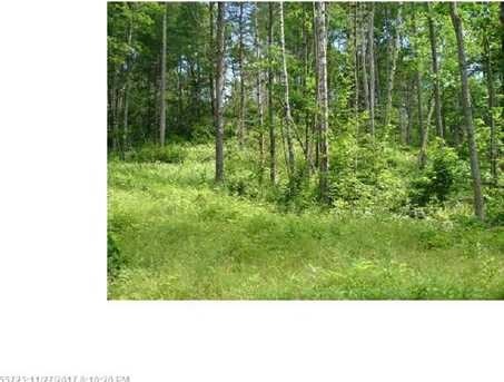

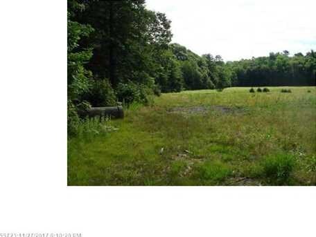
Property Detail
344 River Rd
TOPM-000001-000000-000034-HR000000
SAGADAHOC
Residentialacreage
Maine
NO
34-h
AE The base floodplain where base flood elevations are provided. AE Zones are now used on new format FIRMs instead of A1-A30 Zones.
49.10 AC
2025
Sagadahoc County
2025
Portland/South Portland
970301
Portland-South Portland, ME
NEARBY LISTINGS FOR SALE OR LEASE
DEMOGRAPHICS near 344 River Rd
1 mile
3 mile
5 mile
2025 Total Population
1,150
19,812
31,565
2030 Population
1,156
20,463
32,559
Pop Growth 2025-2030
+ 0.52%
+ 3.29%
+ 3.15%
Average Age
44
42
43
2025 Total Households
477
8,391
13,222
HH Growth 2025-2030
+ 0.42%
+ 3.23%
+ 3.19%
Median Household Inc
$93,624
$84,635
$84,687
Avg Household Size
2.40
2.10
2.20
2025 Avg HH Vehicles
2.00
2.00
2.00
Median Home Value
$331,081
$372,255
$384,931
Median Year Built
1988
1978
1980
Nearby Places
Map Layers
Map Styles
 Street
 Aerial
Layers
 Traffic
 Biking
Places
Listings with unknown addresses are not visible on the map
- Restaurants
- Banks
- Shops
- Fitness
- Groceries
PUBLIC TRANSPORTATION
COMMUTER RAIL
Brunswick Amtrak Station (Downeaster - Amtrak)
Drive
Walk
Distance
Brunswick Amtrak Station (Downeaster - Amtrak)
8 min
3.7 mi
AIRPORT
Portland International Jetport
Drive
Walk
Distance
Portland International Jetport
44 min
31.5 mi
Freight Ports
Portland, ME
Drive
Walk
Distance
Portland, ME
38 min
28.5 mi
SALE & LEASE HISTORY
LISTING DATE
SALE/LEASE

Feb 20, 2018
For Sale
Nearby Properties
Address
Land Use
TOTAL SIZE
Lot Size
Zoning
Address
Land Use
TOTAL SIZE
Lot Size
Zoning
11.05 AC
GM7
Address
Land Use
TOTAL SIZE
Lot Size
Zoning
616.11 AC
NO
Address
Land Use
TOTAL SIZE
Lot Size
Zoning
Address
Land Use
TOTAL SIZE
Lot Size
Zoning
413,793 SF
4.94 AC
GM6
Address
Land Use
TOTAL SIZE
Lot Size
Zoning
199,222 SF
46.56 AC
NO
Address
Land Use
TOTAL SIZE
Lot Size
Zoning
30.78 AC
NO
Address
Land Use
TOTAL SIZE
Lot Size
Zoning
124,514 SF
10.76 AC
NO
Address
Land Use
TOTAL SIZE
Lot Size
Zoning
6,944 SF
0.93 AC
NO
Address
Land Use
TOTAL SIZE
Lot Size
Zoning
101,903 SF
7.25 AC
NO
Address
Land Use
TOTAL SIZE
Lot Size
Zoning
94,968 SF
16.88 AC
NO
Address
Land Use
TOTAL SIZE
Lot Size
Zoning
111,786 SF
4.20 AC
GM3
Address
Land Use
TOTAL SIZE
Lot Size
Zoning
78,120 SF
28.71 AC
NO
Address
Land Use
TOTAL SIZE
Lot Size
Zoning
27,134 SF
2.45 AC
GM5
Address
Land Use
TOTAL SIZE
Lot Size
Zoning
86,743 SF
10.94 AC
NO
Address
Land Use
TOTAL SIZE
Lot Size
Zoning
127,816 SF
16.06 AC
GI
Address
Land Use
TOTAL SIZE
Lot Size
Zoning
39,610 SF
8.86 AC
GI
Address
Land Use
TOTAL SIZE
Lot Size
Zoning
71,827 SF
19.80 AC
GI
Address
Land Use
TOTAL SIZE
Lot Size
Zoning
60,772 SF
20.56 AC
NO
Address
Land Use
TOTAL SIZE
Lot Size
Zoning
5.14 AC
NO
Address
Land Use
TOTAL SIZE
Lot Size
Zoning
95,145 SF
8.70 AC
GI
Address
Land Use
TOTAL SIZE
Lot Size
Zoning
186,505 SF
12.16 AC
GM3
Address
Land Use
TOTAL SIZE
Lot Size
Zoning
1.04 AC
NO
Address
Land Use
TOTAL SIZE
Lot Size
Zoning
42,271 SF
1.24 AC
GM6
Address
Land Use
TOTAL SIZE
Lot Size
Zoning
46,303 SF
4.44 AC
NO
Address
Land Use
TOTAL SIZE
Lot Size
Zoning
45,838 SF
5.15 AC
GM6
Address
Land Use
TOTAL SIZE
Lot Size
Zoning
11,006 SF
4.32 AC
GM5
Address
Land Use
TOTAL SIZE
Lot Size
Zoning
64,339 SF
6.69 AC
NO
Address
Land Use
TOTAL SIZE
Lot Size
Zoning
44,349 SF
3.76 AC
GM3
Address
Land Use
TOTAL SIZE
Lot Size
Zoning
2.40 AC
NO
Address
Land Use
TOTAL SIZE
Lot Size
Zoning
12,840 SF
2.67 AC
GR6
The World's #1 Commercial Real Estate Marketplace
Connect with us
© 2026 CoStar Group
The information above has been obtained from sources believed reliable. While we do not doubt its accuracy we have not verified it and make no guarantee, warranty or representation about it. It is your responsibility to independently confirm its accuracy and completeness. Any projections, opinions, assumptions, or estimates used are for example only and do not represent the current or future performance of the property. The value of this transaction to you depends on tax and other factors which should be evaluated by your tax, financial, and legal advisors. You and your advisors should conduct a careful, independent investigation of the property to determine to your satisfaction the suitability of the property for your needs.