Property Record
34406 N 27Th Dr, Phoenix, AZ 85085
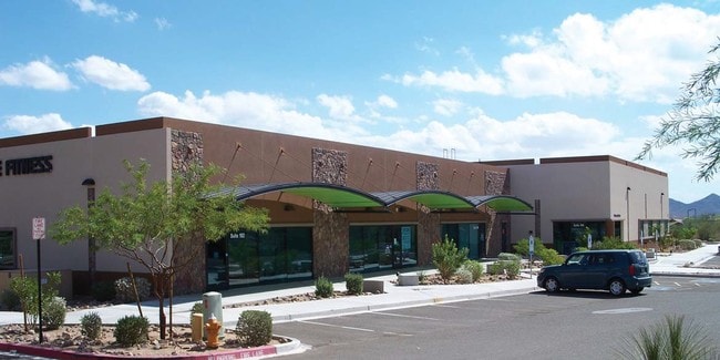


Property Detail
34406 N 27Th Dr
204-02-012
SONORAN DESERT VILLAGE MCR 803-43
Religious
Maricopa
C-C
Arizona
C and X Area of minimal flood hazard, usually depicted on FIRMs as above the 500-year flood level.
8
0
1.38 AC
2025
North I-17
611300
Phoenix
11,965 SF
Phoenix-Mesa-Chandler, AZ
NEARBY LISTINGS FOR SALE OR LEASE
DEMOGRAPHICS near 34406 N 27Th Dr
1 mile
3 mile
5 mile
2025 Total Population
9,957
22,191
63,170
2030 Population
10,224
22,719
65,291
Pop Growth 2025-2030
+ 2.68%
+ 2.38%
+ 3.36%
Average Age
38
39
40
2025 Total Households
3,654
8,271
22,774
HH Growth 2025-2030
+ 2.55%
+ 2.26%
+ 3.33%
Median Household Inc
$139,902
$138,163
$130,614
Avg Household Size
2.70
2.60
2.70
2025 Avg HH Vehicles
2.00
2.00
2.00
Median Home Value
$672,966
$684,641
$661,280
Median Year Built
2006
2006
2005
Nearby Places
Map Layers
Map Styles
 Street
 Aerial
Transit
 Traffic
 Biking
Places
Listings with unknown addresses are not visible on the map
- Restaurants
- Banks
- Shops
- Fitness
- Groceries
PUBLIC TRANSPORTATION
AIRPORT
Phoenix Sky Harbor International
Drive
Walk
Distance
Phoenix Sky Harbor International
46 min
32.5 mi
Nearby Properties
Address
Land Use
TOTAL SIZE
Lot Size
Zoning
Address
Land Use
TOTAL SIZE
Lot Size
Zoning
7,609,904 SF
804.97 AC
Address
Land Use
TOTAL SIZE
Lot Size
Zoning
127,759 SF
637.40 AC
R-43AG
Address
Land Use
TOTAL SIZE
Lot Size
Zoning
706,731 SF
40.21 AC
Address
Land Use
TOTAL SIZE
Lot Size
Zoning
155,462 SF
22.14 AC
Address
Land Use
TOTAL SIZE
Lot Size
Zoning
388,712 SF
23.13 AC
C2
Address
Land Use
TOTAL SIZE
Lot Size
Zoning
264,522 SF
40 AC
S1
Address
Land Use
TOTAL SIZE
Lot Size
Zoning
340,805 SF
12.34 AC
PCD
Address
Land Use
TOTAL SIZE
Lot Size
Zoning
315,209 SF
27.47 AC
R-8
Address
Land Use
TOTAL SIZE
Lot Size
Zoning
285,327 SF
13.67 AC
C-C
Address
Land Use
TOTAL SIZE
Lot Size
Zoning
21,906 SF
557.32 AC
R-43AG
Address
Land Use
TOTAL SIZE
Lot Size
Zoning
194,505 SF
27.48 AC
Address
Land Use
TOTAL SIZE
Lot Size
Zoning
113,123 SF
62.17 AC
R-43
Address
Land Use
TOTAL SIZE
Lot Size
Zoning
296,465 SF
14.54 AC
M-H
Address
Land Use
TOTAL SIZE
Lot Size
Zoning
123,638 SF
11.96 AC
PAD
Address
Land Use
TOTAL SIZE
Lot Size
Zoning
82,674 SF
14.61 AC
PAD
Address
Land Use
TOTAL SIZE
Lot Size
Zoning
84,030 SF
12.08 AC
R-6
Address
Land Use
TOTAL SIZE
Lot Size
Zoning
165,043 SF
9.54 AC
PCD
Address
Land Use
TOTAL SIZE
Lot Size
Zoning
227,103 SF
13.75 AC
M-H
Address
Land Use
TOTAL SIZE
Lot Size
Zoning
220,053 SF
15.34 AC
R-3A
Address
Land Use
TOTAL SIZE
Lot Size
Zoning
Address
Land Use
TOTAL SIZE
Lot Size
Zoning
67,261 SF
22.86 AC
RU43
Address
Land Use
TOTAL SIZE
Lot Size
Zoning
104,886 SF
13.15 AC
C-C
Address
Land Use
TOTAL SIZE
Lot Size
Zoning
254 SF
527.88 AC
R-35
Address
Land Use
TOTAL SIZE
Lot Size
Zoning
104,000 SF
3.52 AC
C2
Address
Land Use
TOTAL SIZE
Lot Size
Zoning
3,610 SF
218.24 AC
R-43AG
Address
Land Use
TOTAL SIZE
Lot Size
Zoning
45,642 SF
7 AC
R-3A
Address
Land Use
TOTAL SIZE
Lot Size
Zoning
39,600 SF
21.39 AC
PAD
Address
Land Use
TOTAL SIZE
Lot Size
Zoning
57,560 SF
5.87 AC
C-C
Address
Land Use
TOTAL SIZE
Lot Size
Zoning
69,996 SF
9.72 AC
PCD
The World's #1 Commercial Real Estate Marketplace
Connect with us
© 2026 CoStar Group
The information above has been obtained from sources believed reliable. While we do not doubt its accuracy we have not verified it and make no guarantee, warranty or representation about it. It is your responsibility to independently confirm its accuracy and completeness. Any projections, opinions, assumptions, or estimates used are for example only and do not represent the current or future performance of the property. The value of this transaction to you depends on tax and other factors which should be evaluated by your tax, financial, and legal advisors. You and your advisors should conduct a careful, independent investigation of the property to determine to your satisfaction the suitability of the property for your needs.