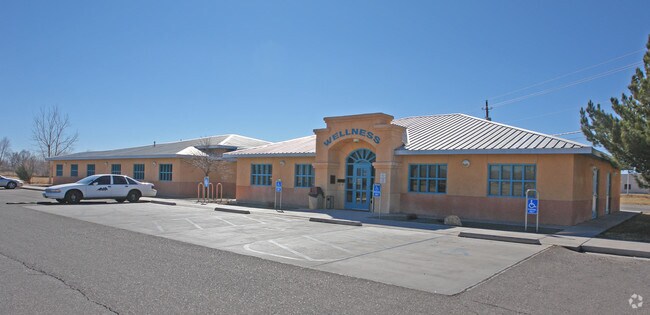
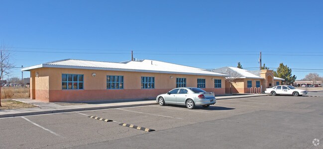
Property Record
3443 Lambros Loop Se, Los Lunas, NM 87031

NEARBY LISTINGS FOR SALE OR LEASE
Property Detail
3443 Lambros Loop Se
Albuquerque, NM
Land Of The Estate Of Nick Lambros
1-011-038-315-305-000000
SUBD LAND OF THE ESTATE OF NICK LAMBROS TRACT 1 5.00 ACRES MAP 72
Vacantlandnec
Valencia
AE
New Mexico
35001C0750H
2.59 AC
0
Los Lunas Corridor
2025
Albuquerque
970103
DEMOGRAPHICS near 3443 Lambros Loop Se
1 Mile
3 Mile
5 Mile
2024 Total Population
2,321
22,011
42,654
2029 Population
2,451
23,294
45,273
Pop Growth 2024-2029
+ 5.60%
+ 5.83%
+ 6.14%
Average Age
43
42
41
2024 Total Households
904
8,285
15,448
HH Growth 2024-2029
+ 5.86%
+ 6.04%
+ 6.36%
Median Household Inc
$64,818
$55,671
$54,914
Avg Household Size
2.60
2.60
2.70
2024 Avg HH Vehicles
3.00
2.00
2.00
Median Home Value
$249,629
$229,715
$208,640
Median Year Built
1985
1986
1990
Nearby Places
Map Layers
Map Styles
 Street
 Aerial
- Restaurants
- Banks
- Shops
- Fitness
- Groceries
PUBLIC TRANSPORTATION
COMMUTER RAIL
Los Lunas (NMRX - Rio Metro Regional Transit District, Rail Runner Express - Rio Metro Regional Transit District)
DRIVE
WALK
Distance
Los Lunas (NMRX - Rio Metro Regional Transit District, Rail Runner Express - Rio Metro Regional Transit District)
6 min
3.1 mi
AIRPORT
Albuquerque International Sunport
DRIVE
WALK
Distance
Albuquerque International Sunport
41 min
19.6 mi
Freight Ports
Port of San Diego
DRIVE
WALK
Distance
Port of San Diego
875 min
813.9 mi
Nearby Properties
Address
Land Use
TOTAL SIZE
Lot Size
Zoning
Address
Land Use
TOTAL SIZE
Lot Size
Zoning
Address
Land Use
TOTAL SIZE
Lot Size
Zoning
Address
Land Use
TOTAL SIZE
Lot Size
Zoning
66.69 AC
Address
Land Use
TOTAL SIZE
Lot Size
Zoning
Address
Land Use
TOTAL SIZE
Lot Size
Zoning
4.90 AC
Address
Land Use
TOTAL SIZE
Lot Size
Zoning
14.68 AC
Address
Land Use
TOTAL SIZE
Lot Size
Zoning
Address
Land Use
TOTAL SIZE
Lot Size
Zoning
1,680 SF
36.20 AC
Address
Land Use
TOTAL SIZE
Lot Size
Zoning
7.07 AC
Address
Land Use
TOTAL SIZE
Lot Size
Zoning
1.31 AC
Address
Land Use
TOTAL SIZE
Lot Size
Zoning
12.72 AC
Address
Land Use
TOTAL SIZE
Lot Size
Zoning
54,889 SF
6.87 AC
Address
Land Use
TOTAL SIZE
Lot Size
Zoning
Address
Land Use
TOTAL SIZE
Lot Size
Zoning
Address
Land Use
TOTAL SIZE
Lot Size
Zoning
48,456 SF
5.68 AC
Address
Land Use
TOTAL SIZE
Lot Size
Zoning
Address
Land Use
TOTAL SIZE
Lot Size
Zoning
2.82 AC
Address
Land Use
TOTAL SIZE
Lot Size
Zoning
50,170 SF
4.06 AC
Address
Land Use
TOTAL SIZE
Lot Size
Zoning
2.11 AC
Address
Land Use
TOTAL SIZE
Lot Size
Zoning
51,622 SF
4.31 AC
Address
Land Use
TOTAL SIZE
Lot Size
Zoning
23,000 SF
2.88 AC
Address
Land Use
TOTAL SIZE
Lot Size
Zoning
Address
Land Use
TOTAL SIZE
Lot Size
Zoning
Address
Land Use
TOTAL SIZE
Lot Size
Zoning
14.30 AC
Address
Land Use
TOTAL SIZE
Lot Size
Zoning
14,921 SF
2.03 AC
Address
Land Use
TOTAL SIZE
Lot Size
Zoning
8,496 SF
1.44 AC
Address
Land Use
TOTAL SIZE
Lot Size
Zoning
13,695 SF
1.44 AC
Address
Land Use
TOTAL SIZE
Lot Size
Zoning
Address
Land Use
TOTAL SIZE
Lot Size
Zoning
45,672 SF
3.53 AC
Address
Land Use
TOTAL SIZE
Lot Size
Zoning
4.06 AC
The World's #1 Commercial Real Estate Marketplace
Connect with us
© 2026 CoStar Group
The information above has been obtained from sources believed reliable. While we do not doubt its accuracy we have not verified it and make no guarantee, warranty or representation about it. It is your responsibility to independently confirm its accuracy and completeness. Any projections, opinions, assumptions, or estimates used are for example only and do not represent the current or future performance of the property. The value of this transaction to you depends on tax and other factors which should be evaluated by your tax, financial, and legal advisors. You and your advisors should conduct a careful, independent investigation of the property to determine to your satisfaction the suitability of the property for your needs.