Property Record
345 E Main St, Warsaw, IN 46580

NEARBY LISTINGS FOR SALE OR LEASE
-
-
View all Warsaw listings for sale on LoopNet.com
Property Detail
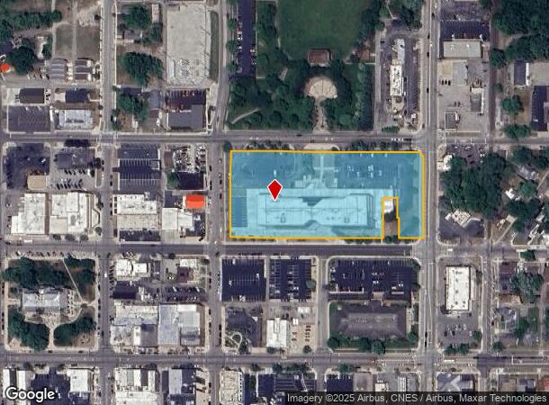
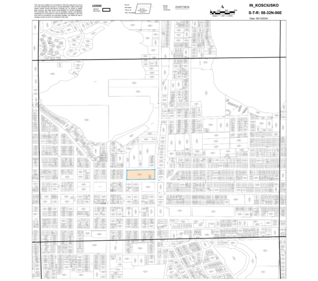
345 E Main St
43-11-08-300-711.000-032
4-43-413 LOTS 105 - 112 & 155 - 162 LESS PT NE COR LOT 159 & LESS PT W PT LOTS 161 & 162 & PT VAC ALLEYS KNOTTS ADD
Officebuilding
Kosciusko
AE
Indiana
18085C0251D
105-112
2024
3.88 AC
2024
Indiana North Area
961900
Other Market Areas
94,943 SF
Warsaw, IN
DEMOGRAPHICS near 345 E Main St
1 Mile
3 Mile
5 Mile
2024 Total Population
5,851
24,199
35,427
2029 Population
5,865
24,181
35,362
Pop Growth 2024-2029
+ 0.24%
(0.07%)
(0.18%)
Average Age
39
38
39
2024 Total Households
2,378
9,355
13,419
HH Growth 2024-2029
+ 0.08%
(0.27%)
(0.37%)
Median Household Inc
$49,770
$61,165
$64,761
Avg Household Size
2.30
2.40
2.50
2024 Avg HH Vehicles
2.00
2.00
2.00
Median Home Value
$123,515
$164,941
$171,166
Median Year Built
1955
1979
1981
Nearby Places
Map Layers
Map Styles
 Street
 Aerial
- Restaurants
- Banks
- Shops
- Fitness
- Groceries
Nearby Properties
Address
Land Use
TOTAL SIZE
Lot Size
Zoning
Address
Land Use
TOTAL SIZE
Lot Size
Zoning
89,225 SF
6.73 AC
I-2 L
Address
Land Use
TOTAL SIZE
Lot Size
Zoning
33,005 SF
46.54 AC
COMME
Address
Land Use
TOTAL SIZE
Lot Size
Zoning
648,375 SF
189.33 AC
IND-3
Address
Land Use
TOTAL SIZE
Lot Size
Zoning
383,115 SF
38.84 AC
I-2 L
Address
Land Use
TOTAL SIZE
Lot Size
Zoning
11,448 SF
19.57 AC
C-3 A
Address
Land Use
TOTAL SIZE
Lot Size
Zoning
1,920 SF
17.30 AC
M-1 M
Address
Land Use
TOTAL SIZE
Lot Size
Zoning
12,648 SF
10.50 AC
R-2
Address
Land Use
TOTAL SIZE
Lot Size
Zoning
499,708 SF
22.92 AC
I-2 L
Address
Land Use
TOTAL SIZE
Lot Size
Zoning
50,534 SF
9.94 AC
C-3 A
Address
Land Use
TOTAL SIZE
Lot Size
Zoning
189,318 SF
19.66 AC
C-3 A
Address
Land Use
TOTAL SIZE
Lot Size
Zoning
188,659 SF
31 AC
C-3 A
Address
Land Use
TOTAL SIZE
Lot Size
Zoning
249,778 SF
37.04 AC
I-2 L
Address
Land Use
TOTAL SIZE
Lot Size
Zoning
63,312 SF
11.67 AC
I-2 L
Address
Land Use
TOTAL SIZE
Lot Size
Zoning
37,278 SF
8.29 AC
R-3
Address
Land Use
TOTAL SIZE
Lot Size
Zoning
26.90 AC
IND-2
Address
Land Use
TOTAL SIZE
Lot Size
Zoning
182,921 SF
9.16 AC
I-2 L
Address
Land Use
TOTAL SIZE
Lot Size
Zoning
51,197 SF
36.44 AC
R-1
Address
Land Use
TOTAL SIZE
Lot Size
Zoning
61,204 SF
14.69 AC
I-2 L
Address
Land Use
TOTAL SIZE
Lot Size
Zoning
94,503 SF
2.37 AC
R-3
Address
Land Use
TOTAL SIZE
Lot Size
Zoning
8,726 SF
19.96 AC
RESID
Address
Land Use
TOTAL SIZE
Lot Size
Zoning
6,492 SF
11.42 AC
C-3 A
Address
Land Use
TOTAL SIZE
Lot Size
Zoning
206,395 SF
21.88 AC
C-5 S
Address
Land Use
TOTAL SIZE
Lot Size
Zoning
59,252 SF
8.78 AC
C-3 A
Address
Land Use
TOTAL SIZE
Lot Size
Zoning
107,227 SF
18.10 AC
RESID
Address
Land Use
TOTAL SIZE
Lot Size
Zoning
75,708 SF
5.04 AC
C-3 A
Address
Land Use
TOTAL SIZE
Lot Size
Zoning
468 SF
68.57 AC
R-1
Address
Land Use
TOTAL SIZE
Lot Size
Zoning
151,378 SF
24.48 AC
I-2 L
Address
Land Use
TOTAL SIZE
Lot Size
Zoning
9.59 AC
I-2 L
Address
Land Use
TOTAL SIZE
Lot Size
Zoning
1,344 SF
30.64 AC
R-3
The World's #1 Commercial Real Estate Marketplace
Connect with us
© 2026 CoStar Group
The information above has been obtained from sources believed reliable. While we do not doubt its accuracy we have not verified it and make no guarantee, warranty or representation about it. It is your responsibility to independently confirm its accuracy and completeness. Any projections, opinions, assumptions, or estimates used are for example only and do not represent the current or future performance of the property. The value of this transaction to you depends on tax and other factors which should be evaluated by your tax, financial, and legal advisors. You and your advisors should conduct a careful, independent investigation of the property to determine to your satisfaction the suitability of the property for your needs.