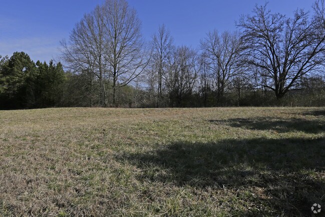
Property Record
345 Roadway Dr, Ringgold, GA 30736


Property Detail
345 Roadway Dr
0011D-062
PTLL 37 32 54 55 YRC FREIGHT TERMINAL
Distributionwarehouseregional
Catoosa
FOR I-1
Georgia
AE The base floodplain where base flood elevations are provided. AE Zones are now used on new format FIRMs instead of A1-A30 Zones.
95 AC
2025
Catoosa County
2025
Chattanooga
030402
Chattanooga, TN-GA
111,750 SF
NEARBY LISTINGS FOR SALE OR LEASE
DEMOGRAPHICS near 345 Roadway Dr
1 mile
3 mile
5 mile
2025 Total Population
2,375
36,744
107,302
2030 Population
2,411
37,426
110,438
Pop Growth 2025-2030
+ 1.52%
+ 1.86%
+ 2.92%
Average Age
42
42
41
2025 Total Households
959
15,242
44,428
HH Growth 2025-2030
+ 1.56%
+ 1.92%
+ 3.06%
Median Household Inc
$57,546
$56,957
$63,409
Avg Household Size
2.50
2.40
2.40
2025 Avg HH Vehicles
2.00
2.00
2.00
Median Home Value
$213,461
$225,637
$245,991
Median Year Built
1984
1983
1975
Nearby Places
Map Layers
Map Styles
 Street
 Aerial
Transit
 Traffic
 Biking
Places
Listings with unknown addresses are not visible on the map
- Restaurants
- Banks
- Shops
- Fitness
- Groceries
PUBLIC TRANSPORTATION
AIRPORT
Lovell Field
Drive
Walk
Distance
Lovell Field
18 min
8.1 mi
Freight Ports
Georgia Ports - Savannah
Drive
Walk
Distance
Georgia Ports - Savannah
398 min
355.5 mi
SALE & LEASE HISTORY
LISTING DATE
SALE/LEASE

Sep 24, 2016
For Sale
Feb 07, 2019
For Sale
Nearby Properties
Address
Land Use
TOTAL SIZE
Lot Size
Zoning
Address
Land Use
TOTAL SIZE
Lot Size
Zoning
72,340 SF
105.70 AC
FOR R-1
Address
Land Use
TOTAL SIZE
Lot Size
Zoning
31,510 SF
49.16 AC
PUD
Address
Land Use
TOTAL SIZE
Lot Size
Zoning
176.54 AC
R1
Address
Land Use
TOTAL SIZE
Lot Size
Zoning
34,862 SF
63.85 AC
A-1
Address
Land Use
TOTAL SIZE
Lot Size
Zoning
233,109 SF
18.99 AC
FOR C-1
Address
Land Use
TOTAL SIZE
Lot Size
Zoning
17,742 SF
8 AC
FOR PM
Address
Land Use
TOTAL SIZE
Lot Size
Zoning
85,068 SF
9.57 AC
Address
Land Use
TOTAL SIZE
Lot Size
Zoning
88,285 SF
7 AC
R3
Address
Land Use
TOTAL SIZE
Lot Size
Zoning
135,954 SF
11.83 AC
R3
Address
Land Use
TOTAL SIZE
Lot Size
Zoning
133,447 SF
17.65 AC
FOR C-2
Address
Land Use
TOTAL SIZE
Lot Size
Zoning
66,027 SF
2.84 AC
C2
Address
Land Use
TOTAL SIZE
Lot Size
Zoning
151,314 SF
6.60 AC
Address
Land Use
TOTAL SIZE
Lot Size
Zoning
2,210 SF
11.33 AC
FOR R-5
Address
Land Use
TOTAL SIZE
Lot Size
Zoning
139,638 SF
16.69 AC
FOR C-2
Address
Land Use
TOTAL SIZE
Lot Size
Zoning
58,911 SF
12.37 AC
FOR C-2
Address
Land Use
TOTAL SIZE
Lot Size
Zoning
130,515 SF
18.78 AC
FOR C-1
Address
Land Use
TOTAL SIZE
Lot Size
Zoning
83,082 SF
6.25 AC
C2
Address
Land Use
TOTAL SIZE
Lot Size
Zoning
101,298 SF
14 AC
FOR C-2
Address
Land Use
TOTAL SIZE
Lot Size
Zoning
196,132 SF
25.97 AC
FOR C-2
Address
Land Use
TOTAL SIZE
Lot Size
Zoning
87,796 SF
3.15 AC
FOR C-2
Address
Land Use
TOTAL SIZE
Lot Size
Zoning
2,172 SF
13.95 AC
FOR R-3
Address
Land Use
TOTAL SIZE
Lot Size
Zoning
67,304 SF
0.63 AC
C-1
Address
Land Use
TOTAL SIZE
Lot Size
Zoning
56,946 SF
2.12 AC
Address
Land Use
TOTAL SIZE
Lot Size
Zoning
4,700 SF
9.80 AC
R-1
Address
Land Use
TOTAL SIZE
Lot Size
Zoning
57,528 SF
3.23 AC
R1
Address
Land Use
TOTAL SIZE
Lot Size
Zoning
31,891 SF
25.91 AC
C-1
Address
Land Use
TOTAL SIZE
Lot Size
Zoning
67,897 SF
12 AC
R-1
Address
Land Use
TOTAL SIZE
Lot Size
Zoning
50,668 SF
1.43 AC
Address
Land Use
TOTAL SIZE
Lot Size
Zoning
64,968 SF
6.61 AC
Address
Land Use
TOTAL SIZE
Lot Size
Zoning
14,190 SF
7.50 AC
R3
The World's #1 Commercial Real Estate Marketplace
Connect with us
© 2026 CoStar Group
The information above has been obtained from sources believed reliable. While we do not doubt its accuracy we have not verified it and make no guarantee, warranty or representation about it. It is your responsibility to independently confirm its accuracy and completeness. Any projections, opinions, assumptions, or estimates used are for example only and do not represent the current or future performance of the property. The value of this transaction to you depends on tax and other factors which should be evaluated by your tax, financial, and legal advisors. You and your advisors should conduct a careful, independent investigation of the property to determine to your satisfaction the suitability of the property for your needs.