Property Record
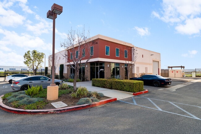
3456 Webster Ave, Perris, CA 92571


Property Detail
3456 Webster Ave
317-330-008
.46 ACRES IN PAR 8 PM 226/018 PM 35050
Lightindustrial
Riverside
IP
California
B and X Area of moderate flood hazard, usually the area between the limits of the 100-year and 500-year floods.
8
2024
0.46 AC
2025
Moreno Valley/Perris
042625
Inland Empire (California)
5,616 SF
Riverside-San Bernardino-Ontario, CA
NEARBY LISTINGS FOR SALE OR LEASE
DEMOGRAPHICS near 3456 Webster Ave
1 mile
3 mile
5 mile
2025 Total Population
693
55,981
150,630
2030 Population
725
57,173
154,232
Pop Growth 2025-2030
+ 4.62%
+ 2.13%
+ 2.39%
Average Age
36
34
34
2025 Total Households
169
12,914
36,478
HH Growth 2025-2030
+ 4.73%
+ 1.81%
+ 2.20%
Median Household Inc
$94,047
$87,340
$88,048
Avg Household Size
3.90
4.10
3.90
2025 Avg HH Vehicles
3.00
3.00
3.00
Median Home Value
$626,712
$470,047
$479,225
Median Year Built
1988
1995
1992
Nearby Places
Map Layers
Map Styles
 Street
 Aerial
Transit
 Traffic
 Biking
Places
Listings with unknown addresses are not visible on the map
- Restaurants
- Banks
- Shops
- Fitness
- Groceries
PUBLIC TRANSPORTATION
COMMUTER RAIL
Drive
Walk
Distance
8 min
4.2 mi
Drive
Walk
Distance
11 min
6.4 mi
AIRPORT
Ontario International
Drive
Walk
Distance
Ontario International
39 min
29.2 mi
SALE & LEASE HISTORY
LISTING DATE
SALE/LEASE

Sep 15, 2022
For Sale
Oct 26, 2017
For Sale
Jul 25, 2023
For Sale
Aug 03, 2017
For Sale
Nearby Properties
Address
Land Use
TOTAL SIZE
Lot Size
Zoning
Address
Land Use
TOTAL SIZE
Lot Size
Zoning
1,530,974 SF
71.21 AC
Address
Land Use
TOTAL SIZE
Lot Size
Zoning
1,189,664 SF
55.26 AC
Address
Land Use
TOTAL SIZE
Lot Size
Zoning
1,224,874 SF
59.05 AC
Address
Land Use
TOTAL SIZE
Lot Size
Zoning
1,009,869 SF
46.76 AC
Address
Land Use
TOTAL SIZE
Lot Size
Zoning
783,407 SF
36.72 AC
Address
Land Use
TOTAL SIZE
Lot Size
Zoning
656,695 SF
30.75 AC
RA5
Address
Land Use
TOTAL SIZE
Lot Size
Zoning
1,138,800 SF
43.93 AC
Address
Land Use
TOTAL SIZE
Lot Size
Zoning
1,309,754 SF
57.79 AC
IL
Address
Land Use
TOTAL SIZE
Lot Size
Zoning
1,331,763 SF
62.60 AC
Address
Land Use
TOTAL SIZE
Lot Size
Zoning
579,708 SF
17.70 AC
LI
Address
Land Use
TOTAL SIZE
Lot Size
Zoning
343 SF
83.52 AC
LI
Address
Land Use
TOTAL SIZE
Lot Size
Zoning
678,087 SF
30.24 AC
Address
Land Use
TOTAL SIZE
Lot Size
Zoning
83.15 AC
Address
Land Use
TOTAL SIZE
Lot Size
Zoning
436,350 SF
19.47 AC
Address
Land Use
TOTAL SIZE
Lot Size
Zoning
1,364,580 SF
80.02 AC
Address
Land Use
TOTAL SIZE
Lot Size
Zoning
692,465 SF
34.46 AC
Address
Land Use
TOTAL SIZE
Lot Size
Zoning
325,560 SF
16.65 AC
Address
Land Use
TOTAL SIZE
Lot Size
Zoning
695,786 SF
92.37 AC
Address
Land Use
TOTAL SIZE
Lot Size
Zoning
340,285 SF
14.39 AC
Address
Land Use
TOTAL SIZE
Lot Size
Zoning
1,297,200 SF
57.36 AC
Address
Land Use
TOTAL SIZE
Lot Size
Zoning
1,172,289 SF
41.82 AC
Address
Land Use
TOTAL SIZE
Lot Size
Zoning
348,375 SF
21.80 AC
Address
Land Use
TOTAL SIZE
Lot Size
Zoning
332,377 SF
21.12 AC
Address
Land Use
TOTAL SIZE
Lot Size
Zoning
1,582,985 SF
83.28 AC
LI
Address
Land Use
TOTAL SIZE
Lot Size
Zoning
285,482 SF
9.65 AC
Address
Land Use
TOTAL SIZE
Lot Size
Zoning
800,218 SF
37.43 AC
Address
Land Use
TOTAL SIZE
Lot Size
Zoning
1,387,899 SF
49.40 AC
Address
Land Use
TOTAL SIZE
Lot Size
Zoning
355,031 SF
16.29 AC
LI
The World's #1 Commercial Real Estate Marketplace
Connect with us
© 2026 CoStar Group
The information above has been obtained from sources believed reliable. While we do not doubt its accuracy we have not verified it and make no guarantee, warranty or representation about it. It is your responsibility to independently confirm its accuracy and completeness. Any projections, opinions, assumptions, or estimates used are for example only and do not represent the current or future performance of the property. The value of this transaction to you depends on tax and other factors which should be evaluated by your tax, financial, and legal advisors. You and your advisors should conduct a careful, independent investigation of the property to determine to your satisfaction the suitability of the property for your needs.