Property Record
347 Greyhaven Ln, Marietta, GA 30068
NEARBY LISTINGS FOR SALE OR LEASE
-
-
View all Marietta listings for sale on LoopNet.com
Property Detail
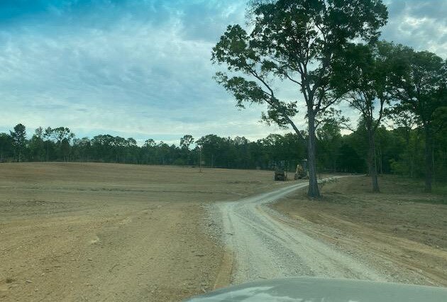
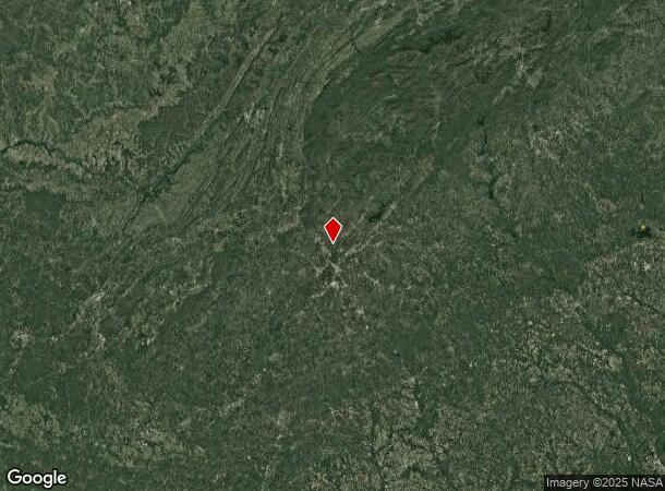
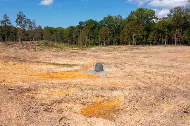
347 Greyhaven Ln
001100-09-019
PT TRACT 3
Agriculturalland
Lexington
X
South Carolina
45063C0105J
36.53 AC
2025
Dutch Fork/Irmo
2024
Columbia
021208
Columbia, SC
DEMOGRAPHICS near 347 Greyhaven Ln
1 Mile
3 Mile
5 Mile
2024 Total Population
1,668
16,036
33,606
2029 Population
1,856
17,259
35,844
Pop Growth 2024-2029
+ 11.27%
+ 7.63%
+ 6.66%
Average Age
41
41
42
2024 Total Households
608
5,954
12,763
HH Growth 2024-2029
+ 11.35%
+ 7.78%
+ 6.83%
Median Household Inc
$116,197
$107,597
$105,833
Avg Household Size
2.70
2.60
2.60
2024 Avg HH Vehicles
2.00
2.00
2.00
Median Home Value
$333,467
$362,618
$345,891
Median Year Built
2003
2002
2002
Nearby Places
Map Layers
Map Styles
 Street
 Aerial
- Restaurants
- Banks
- Shops
- Fitness
- Groceries
PUBLIC TRANSPORTATION
AIRPORT
Hartsfield - Jackson Atlanta International
DRIVE
WALK
Distance
Hartsfield - Jackson Atlanta International
41 min
27.4 mi
Freight Ports
Georgia Ports - Savannah
DRIVE
WALK
Distance
Georgia Ports - Savannah
304 min
266.7 mi
SALE & LEASE HISTORY
LISTING DATE
SALE/LEASE

May 18, 2021
For Sale
Nearby Properties
Address
Land Use
TOTAL SIZE
Lot Size
Zoning
Address
Land Use
TOTAL SIZE
Lot Size
Zoning
258,955 SF
29.70 AC
CRC/LRO
Address
Land Use
TOTAL SIZE
Lot Size
Zoning
416,113 SF
28.12 AC
RM-12
Address
Land Use
TOTAL SIZE
Lot Size
Zoning
464,381 SF
34.82 AC
RM-12
Address
Land Use
TOTAL SIZE
Lot Size
Zoning
3,406 SF
23.20 AC
R20
Address
Land Use
TOTAL SIZE
Lot Size
Zoning
166,048 SF
20.29 AC
GC
Address
Land Use
TOTAL SIZE
Lot Size
Zoning
194,453 SF
17.71 AC
CRC/WS
Address
Land Use
TOTAL SIZE
Lot Size
Zoning
200,238 SF
18.92 AC
RM-12
Address
Land Use
TOTAL SIZE
Lot Size
Zoning
152,191 SF
9.63 AC
RSL
Address
Land Use
TOTAL SIZE
Lot Size
Zoning
119,776 SF
11.17 AC
NS/WS
Address
Land Use
TOTAL SIZE
Lot Size
Zoning
92,787 SF
11.69 AC
CRC/NS
Address
Land Use
TOTAL SIZE
Lot Size
Zoning
182,506 SF
8.49 AC
RSL
Address
Land Use
TOTAL SIZE
Lot Size
Zoning
106,968 SF
0.77 AC
PSC
Address
Land Use
TOTAL SIZE
Lot Size
Zoning
1,576 SF
3.24 AC
RSL
Address
Land Use
TOTAL SIZE
Lot Size
Zoning
84,299 SF
13.83 AC
GC
Address
Land Use
TOTAL SIZE
Lot Size
Zoning
67,397 SF
7.59 AC
NS
Address
Land Use
TOTAL SIZE
Lot Size
Zoning
117,668 SF
12.17 AC
PSC
Address
Land Use
TOTAL SIZE
Lot Size
Zoning
78,103 SF
8.54 AC
CRC/WS
Address
Land Use
TOTAL SIZE
Lot Size
Zoning
84,473 SF
13.06 AC
NRC
Address
Land Use
TOTAL SIZE
Lot Size
Zoning
64,015 SF
4.37 AC
CRC/WS
Address
Land Use
TOTAL SIZE
Lot Size
Zoning
239,207 SF
8.78 AC
GC/WS
Address
Land Use
TOTAL SIZE
Lot Size
Zoning
44,346 SF
4.46 AC
CRC
Address
Land Use
TOTAL SIZE
Lot Size
Zoning
72,399 SF
12.18 AC
R-30
Address
Land Use
TOTAL SIZE
Lot Size
Zoning
93,007 SF
11.65 AC
NRC/WS
Address
Land Use
TOTAL SIZE
Lot Size
Zoning
128,491 SF
9.09 AC
OI
Address
Land Use
TOTAL SIZE
Lot Size
Zoning
100,102 SF
10.89 AC
R3
Address
Land Use
TOTAL SIZE
Lot Size
Zoning
59,632 SF
2.40 AC
OI
Address
Land Use
TOTAL SIZE
Lot Size
Zoning
33,808 SF
5.31 AC
PSC
Address
Land Use
TOTAL SIZE
Lot Size
Zoning
59,494 SF
1.96 AC
O&I/WS
Address
Land Use
TOTAL SIZE
Lot Size
Zoning
12.10 AC
Address
Land Use
TOTAL SIZE
Lot Size
Zoning
87,132 SF
7.10 AC
PSC
The World's #1 Commercial Real Estate Marketplace
Connect with us
© 2025 CoStar Group
The information above has been obtained from sources believed reliable. While we do not doubt its accuracy we have not verified it and make no guarantee, warranty or representation about it. It is your responsibility to independently confirm its accuracy and completeness. Any projections, opinions, assumptions, or estimates used are for example only and do not represent the current or future performance of the property. The value of this transaction to you depends on tax and other factors which should be evaluated by your tax, financial, and legal advisors. You and your advisors should conduct a careful, independent investigation of the property to determine to your satisfaction the suitability of the property for your needs.