Property Record
349 E 32Nd St, Yuma, AZ 85364
Property Detail
349 E 32Nd St
695-36-002
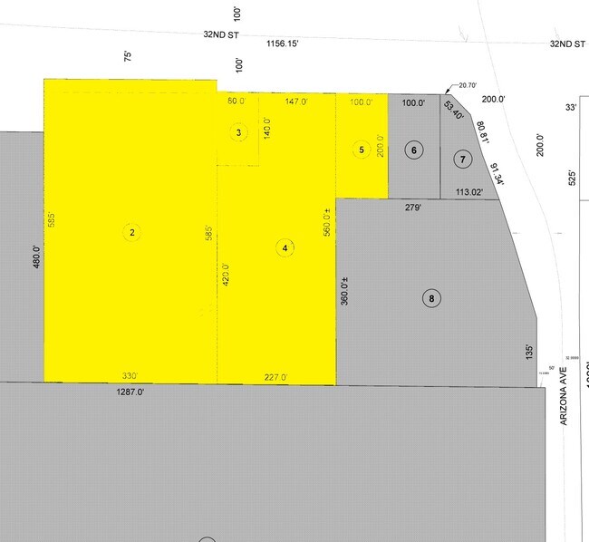
SECTION: 09 TOWNSHIP: 09S RANGE: 23W W 227 FT OF NE4 NE4 NE4 EXC N 240 FT OF W 80 FT AND EXC N 100 FT RD R/W
Vehiclerentalsvehiclesales
Yuma
B-2
Arizona
C and X Area of minimal flood hazard, usually depicted on FIRMs as above the 500-year flood level.
4.55 AC
2025
Yuma & El Centro
2026
Other Market Areas
001001
Yuma, AZ
43,543 SF
NEARBY LISTINGS FOR SALE OR LEASE
DEMOGRAPHICS near 349 E 32Nd St
1 mile
3 mile
5 mile
2025 Total Population
12,193
54,520
104,819
2030 Population
13,465
58,804
112,931
Pop Growth 2025-2030
+ 10.43%
+ 7.86%
+ 7.74%
Average Age
42
37
38
2025 Total Households
5,574
19,874
37,357
HH Growth 2025-2030
+ 11.84%
+ 8.89%
+ 8.88%
Median Household Inc
$48,724
$59,294
$60,259
Avg Household Size
2.10
2.60
2.70
2025 Avg HH Vehicles
1.00
2.00
2.00
Median Home Value
$190,772
$230,177
$230,212
Median Year Built
1983
1981
1986
Nearby Places
Map Layers
Map Styles
 Street
 Aerial
Layers
 Traffic
 Biking
Places
Listings with unknown addresses are not visible on the map
- Restaurants
- Banks
- Shops
- Fitness
- Groceries
PUBLIC TRANSPORTATION
COMMUTER RAIL
Yuma Amtrak (Sunset Limited - Amtrak, Texas Eagle - Amtrak)
Drive
Walk
Distance
Yuma Amtrak (Sunset Limited - Amtrak, Texas Eagle - Amtrak)
9 min
4.5 mi
AIRPORT
Yuma International
Drive
Walk
Distance
Yuma International
4 min
1.2 mi
Freight Ports
Port of San Diego
Drive
Walk
Distance
Port of San Diego
197 min
174.5 mi
Nearby Properties
Address
Land Use
TOTAL SIZE
Lot Size
Zoning
Address
Land Use
TOTAL SIZE
Lot Size
Zoning
383,999 SF
87.91 AC
R-1-6
Address
Land Use
TOTAL SIZE
Lot Size
Zoning
163,094 SF
27 AC
AG
Address
Land Use
TOTAL SIZE
Lot Size
Zoning
383,461 SF
93.30 AC
LI
Address
Land Use
TOTAL SIZE
Lot Size
Zoning
197,031 SF
28.76 AC
B-2
Address
Land Use
TOTAL SIZE
Lot Size
Zoning
206,107 SF
21.96 AC
B-2
Address
Land Use
TOTAL SIZE
Lot Size
Zoning
61,000 SF
36.50 AC
B-2
Address
Land Use
TOTAL SIZE
Lot Size
Zoning
79,891 SF
8.97 AC
R-1-6
Address
Land Use
TOTAL SIZE
Lot Size
Zoning
300,746 SF
17.42 AC
LI
Address
Land Use
TOTAL SIZE
Lot Size
Zoning
15,815 SF
4.40 AC
LI
Address
Land Use
TOTAL SIZE
Lot Size
Zoning
212,439 SF
20.28 AC
B-1
Address
Land Use
TOTAL SIZE
Lot Size
Zoning
407,940 SF
24.04 AC
HI
Address
Land Use
TOTAL SIZE
Lot Size
Zoning
51,586 SF
6.71 AC
B-2
Address
Land Use
TOTAL SIZE
Lot Size
Zoning
119,714 SF
6.75 AC
C-2
Address
Land Use
TOTAL SIZE
Lot Size
Zoning
264,412 SF
28.05 AC
LI
Address
Land Use
TOTAL SIZE
Lot Size
Zoning
95,263 SF
5.46 AC
B-2
Address
Land Use
TOTAL SIZE
Lot Size
Zoning
114,420 SF
6.13 AC
B-2
Address
Land Use
TOTAL SIZE
Lot Size
Zoning
50,918 SF
3.85 AC
TR
Address
Land Use
TOTAL SIZE
Lot Size
Zoning
141,161 SF
11.18 AC
B-2
Address
Land Use
TOTAL SIZE
Lot Size
Zoning
77,301 SF
2.25 AC
B-2
Address
Land Use
TOTAL SIZE
Lot Size
Zoning
132,480 SF
23.73 AC
LI
Address
Land Use
TOTAL SIZE
Lot Size
Zoning
68,961 SF
3.23 AC
B-2
Address
Land Use
TOTAL SIZE
Lot Size
Zoning
168,098 SF
8.77 AC
R-3
Address
Land Use
TOTAL SIZE
Lot Size
Zoning
48,251 SF
5.26 AC
B-2
Address
Land Use
TOTAL SIZE
Lot Size
Zoning
103,803 SF
22.50 AC
LI
Address
Land Use
TOTAL SIZE
Lot Size
Zoning
302,392 SF
16.80 AC
R-3
Address
Land Use
TOTAL SIZE
Lot Size
Zoning
165,296 SF
12.44 AC
R-3
Address
Land Use
TOTAL SIZE
Lot Size
Zoning
33,765 SF
2.81 AC
B-2
Address
Land Use
TOTAL SIZE
Lot Size
Zoning
90,280 SF
2.98 AC
B-2
Address
Land Use
TOTAL SIZE
Lot Size
Zoning
133,196 SF
14.75 AC
B-2
The World's #1 Commercial Real Estate Marketplace
Connect with us
© 2026 CoStar Group
The information above has been obtained from sources believed reliable. While we do not doubt its accuracy we have not verified it and make no guarantee, warranty or representation about it. It is your responsibility to independently confirm its accuracy and completeness. Any projections, opinions, assumptions, or estimates used are for example only and do not represent the current or future performance of the property. The value of this transaction to you depends on tax and other factors which should be evaluated by your tax, financial, and legal advisors. You and your advisors should conduct a careful, independent investigation of the property to determine to your satisfaction the suitability of the property for your needs.