Property Record
35 Harbor Dr, Novato, CA 94945
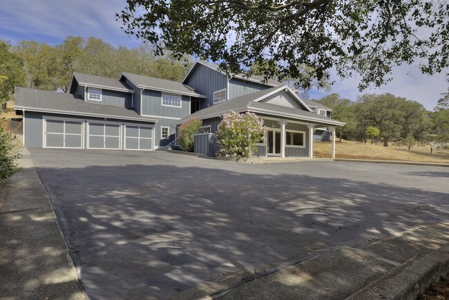


Property Detail
35 Harbor Dr
San Rafael, CA
MAP 3 PG 84 LOT 28
157-031-02
Marin
Commercialnec
California
AE The base floodplain where base flood elevations are provided. AE Zones are now used on new format FIRMs instead of A1-A30 Zones.
28
2025
0.94 AC
2025
Novato/Ignacio/N Marin
101100
North Bay/Santa Rosa
3,833 SF
NEARBY LISTINGS FOR SALE OR LEASE
DEMOGRAPHICS near 35 Harbor Dr
1 mile
3 mile
5 mile
2025 Total Population
1,155
6,610
50,760
2030 Population
1,135
6,491
50,231
Pop Growth 2025-2030
(1.73%)
(1.80%)
(1.04%)
Average Age
51
49
45
2025 Total Households
455
2,620
19,735
HH Growth 2025-2030
(1.76%)
(1.87%)
(1.17%)
Median Household Inc
$149,999
$152,419
$115,134
Avg Household Size
2.40
2.50
2.50
2025 Avg HH Vehicles
2.00
3.00
2.00
Median Home Value
$1,112,379
$1,091,823
$1,017,490
Median Year Built
1976
1973
1974
Nearby Places
Map Layers
Map Styles
 Street
 Aerial
Layers
 Traffic
 Biking
Places
Listings with unknown addresses are not visible on the map
- Restaurants
- Banks
- Shops
- Fitness
- Groceries
PUBLIC TRANSPORTATION
COMMUTER RAIL
Smart Novato San Marin (Main Line - Sonoma Marin Area Rail Transit)
Drive
Walk
Distance
Smart Novato San Marin (Main Line - Sonoma Marin Area Rail Transit)
6 min
3.9 mi
Smart Novato Downtown (Main Line - Sonoma Marin Area Rail Transit)
Drive
Walk
Distance
Smart Novato Downtown (Main Line - Sonoma Marin Area Rail Transit)
8 min
5.5 mi
Freight Ports
Port of Richmond
Drive
Walk
Distance
Port of Richmond
32 min
22.8 mi
SALE & LEASE HISTORY
LISTING DATE
SALE/LEASE

Sep 26, 2018
For Sale
Nearby Properties
Address
Land Use
TOTAL SIZE
Lot Size
Zoning
Address
Land Use
TOTAL SIZE
Lot Size
Zoning
124,178 SF
2.43 AC
Address
Land Use
TOTAL SIZE
Lot Size
Zoning
38,724 SF
2.09 AC
Address
Land Use
TOTAL SIZE
Lot Size
Zoning
65,000 SF
5.89 AC
Address
Land Use
TOTAL SIZE
Lot Size
Zoning
178,223 SF
16.04 AC
Address
Land Use
TOTAL SIZE
Lot Size
Zoning
45,080 SF
1.95 AC
Address
Land Use
TOTAL SIZE
Lot Size
Zoning
136,384 SF
13.61 AC
Address
Land Use
TOTAL SIZE
Lot Size
Zoning
150,261 SF
8.87 AC
Address
Land Use
TOTAL SIZE
Lot Size
Zoning
58,687 SF
2.67 AC
Address
Land Use
TOTAL SIZE
Lot Size
Zoning
132,088 SF
7.80 AC
Address
Land Use
TOTAL SIZE
Lot Size
Zoning
62,329 SF
3.52 AC
Address
Land Use
TOTAL SIZE
Lot Size
Zoning
64,618 SF
3.11 AC
Address
Land Use
TOTAL SIZE
Lot Size
Zoning
79,551 SF
3.89 AC
Address
Land Use
TOTAL SIZE
Lot Size
Zoning
53,691 SF
2.49 AC
Address
Land Use
TOTAL SIZE
Lot Size
Zoning
74,292 SF
3.99 AC
Address
Land Use
TOTAL SIZE
Lot Size
Zoning
69,655 SF
0.58 AC
Address
Land Use
TOTAL SIZE
Lot Size
Zoning
1.73 AC
Address
Land Use
TOTAL SIZE
Lot Size
Zoning
90,671 SF
9.24 AC
Address
Land Use
TOTAL SIZE
Lot Size
Zoning
24,120 SF
1.34 AC
Address
Land Use
TOTAL SIZE
Lot Size
Zoning
32,363 SF
1.24 AC
Address
Land Use
TOTAL SIZE
Lot Size
Zoning
49,465 SF
3.63 AC
Address
Land Use
TOTAL SIZE
Lot Size
Zoning
28,525 SF
3.39 AC
Address
Land Use
TOTAL SIZE
Lot Size
Zoning
14,384 SF
1.76 AC
Address
Land Use
TOTAL SIZE
Lot Size
Zoning
30,090 SF
1.16 AC
Address
Land Use
TOTAL SIZE
Lot Size
Zoning
37,250 SF
2.29 AC
Address
Land Use
TOTAL SIZE
Lot Size
Zoning
53,472 SF
3.54 AC
Address
Land Use
TOTAL SIZE
Lot Size
Zoning
26,760 SF
0.91 AC
Address
Land Use
TOTAL SIZE
Lot Size
Zoning
15,059 SF
65.09 AC
Address
Land Use
TOTAL SIZE
Lot Size
Zoning
6,000 SF
5.28 AC
Address
Land Use
TOTAL SIZE
Lot Size
Zoning
24,140 SF
1.73 AC
The World's #1 Commercial Real Estate Marketplace
Connect with us
© 2026 CoStar Group
The information above has been obtained from sources believed reliable. While we do not doubt its accuracy we have not verified it and make no guarantee, warranty or representation about it. It is your responsibility to independently confirm its accuracy and completeness. Any projections, opinions, assumptions, or estimates used are for example only and do not represent the current or future performance of the property. The value of this transaction to you depends on tax and other factors which should be evaluated by your tax, financial, and legal advisors. You and your advisors should conduct a careful, independent investigation of the property to determine to your satisfaction the suitability of the property for your needs.