Property Record
E Main St, Southbridge, MA 01550
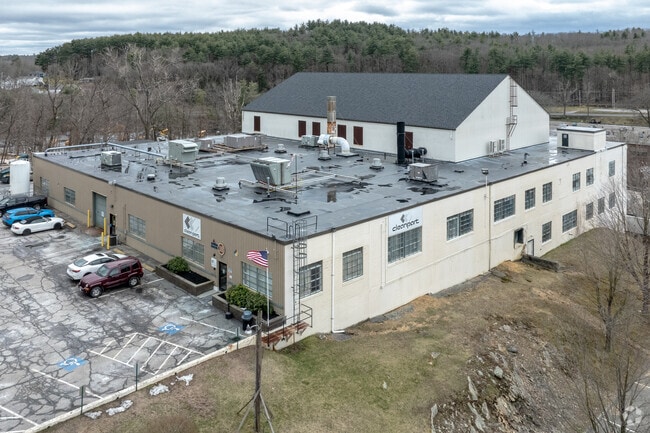

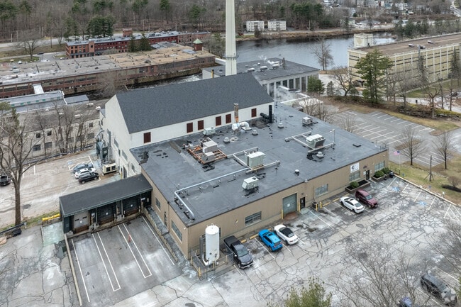
Property Detail
E Main St
SOUT-037 005 00001
WORCESTER
Nonbuildableland
Massachusetts
0
1
B and X Area of moderate flood hazard, usually the area between the limits of the 100-year and 500-year floods.
50.04 AC
2024
Outlying Worcester
2025
Boston
757300
Worcester, MA
NEARBY LISTINGS FOR SALE OR LEASE
DEMOGRAPHICS near E Main St
1 mile
3 mile
5 mile
2025 Total Population
8,058
21,212
31,806
2030 Population
8,278
21,713
32,650
Pop Growth 2025-2030
+ 2.73%
+ 2.36%
+ 2.65%
Average Age
40
41
42
2025 Total Households
3,354
8,688
12,654
HH Growth 2025-2030
+ 2.83%
+ 2.45%
+ 2.75%
Median Household Inc
$48,606
$68,412
$82,241
Avg Household Size
2.30
2.40
2.40
2025 Avg HH Vehicles
1.00
2.00
2.00
Median Home Value
$277,777
$328,436
$377,082
Median Year Built
1951
1955
1966
Nearby Places
Map Layers
Map Styles
 Street
 Aerial
Layers
 Traffic
 Biking
Places
Listings with unknown addresses are not visible on the map
- Restaurants
- Banks
- Shops
- Fitness
- Groceries
PUBLIC TRANSPORTATION
AIRPORT
Worcester Regional
Drive
Walk
Distance
Worcester Regional
38 min
19.6 mi
Freight Ports
Port of Davisville, RI
Drive
Walk
Distance
Port of Davisville, RI
90 min
64.7 mi
SALE & LEASE HISTORY
LISTING DATE
SALE/LEASE

Sep 19, 2022
For Lease
Jan 02, 2024
For Sale
Nearby Properties
Address
Land Use
TOTAL SIZE
Lot Size
Zoning
Address
Land Use
TOTAL SIZE
Lot Size
Zoning
1,800 SF
10.02 AC
IG
Address
Land Use
TOTAL SIZE
Lot Size
Zoning
15,648 SF
50.82 AC
A
Address
Land Use
TOTAL SIZE
Lot Size
Zoning
201,329 SF
90 AC
R1
Address
Land Use
TOTAL SIZE
Lot Size
Zoning
127,620 SF
6.40 AC
R2
Address
Land Use
TOTAL SIZE
Lot Size
Zoning
45.13 AC
GB
Address
Land Use
TOTAL SIZE
Lot Size
Zoning
Address
Land Use
TOTAL SIZE
Lot Size
Zoning
10.08 AC
M
Address
Land Use
TOTAL SIZE
Lot Size
Zoning
2.14 AC
CC
Address
Land Use
TOTAL SIZE
Lot Size
Zoning
93,260 SF
9.10 AC
R1
Address
Land Use
TOTAL SIZE
Lot Size
Zoning
13 AC
M
Address
Land Use
TOTAL SIZE
Lot Size
Zoning
76,237 SF
7.50 AC
R1
Address
Land Use
TOTAL SIZE
Lot Size
Zoning
19.50 AC
M
Address
Land Use
TOTAL SIZE
Lot Size
Zoning
100,771 SF
2.70 AC
R2
Address
Land Use
TOTAL SIZE
Lot Size
Zoning
58,420 SF
5 AC
R2
Address
Land Use
TOTAL SIZE
Lot Size
Zoning
89,656 SF
0.97 AC
RB
Address
Land Use
TOTAL SIZE
Lot Size
Zoning
1 AC
CC
Address
Land Use
TOTAL SIZE
Lot Size
Zoning
9.58 AC
R3
Address
Land Use
TOTAL SIZE
Lot Size
Zoning
7.86 AC
OR
Address
Land Use
TOTAL SIZE
Lot Size
Zoning
10,210 SF
116.40 AC
R1
Address
Land Use
TOTAL SIZE
Lot Size
Zoning
22,204 SF
2.50 AC
CC
Address
Land Use
TOTAL SIZE
Lot Size
Zoning
56,336 SF
5 AC
GB
Address
Land Use
TOTAL SIZE
Lot Size
Zoning
49,471 SF
2.29 AC
CC
Address
Land Use
TOTAL SIZE
Lot Size
Zoning
19,983 SF
0.60 AC
CC
Address
Land Use
TOTAL SIZE
Lot Size
Zoning
2.77 AC
R2
Address
Land Use
TOTAL SIZE
Lot Size
Zoning
5.28 AC
Address
Land Use
TOTAL SIZE
Lot Size
Zoning
24,713 SF
1 AC
CC
Address
Land Use
TOTAL SIZE
Lot Size
Zoning
768 SF
12.90 AC
R1
Address
Land Use
TOTAL SIZE
Lot Size
Zoning
116.08 AC
5,
Address
Land Use
TOTAL SIZE
Lot Size
Zoning
42,098 SF
2.95 AC
OR
Address
Land Use
TOTAL SIZE
Lot Size
Zoning
76,734 SF
7.75 AC
IG
The World's #1 Commercial Real Estate Marketplace
Connect with us
© 2026 CoStar Group
The information above has been obtained from sources believed reliable. While we do not doubt its accuracy we have not verified it and make no guarantee, warranty or representation about it. It is your responsibility to independently confirm its accuracy and completeness. Any projections, opinions, assumptions, or estimates used are for example only and do not represent the current or future performance of the property. The value of this transaction to you depends on tax and other factors which should be evaluated by your tax, financial, and legal advisors. You and your advisors should conduct a careful, independent investigation of the property to determine to your satisfaction the suitability of the property for your needs.