Property Record
35 Runway Dr, Levittown, PA 19057
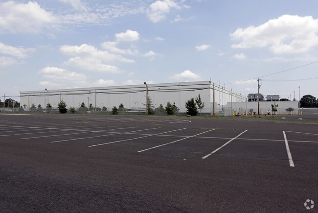


Property Detail
35 Runway Dr
05-070-130
12.0723 AC LOT #6 BRISTOL INDUSTRIAL PARK
Warehouse
Bucks
M1
Pennsylvania
B and X Area of moderate flood hazard, usually the area between the limits of the 100-year and 500-year floods.
6
2024
12.07 AC
2025
Bucks
100403
Philadelphia
200,000 SF
Philadelphia-Camden-Wilmington, PA-NJ-DE-MD
NEARBY LISTINGS FOR SALE OR LEASE
DEMOGRAPHICS near 35 Runway Dr
1 mile
3 mile
5 mile
2025 Total Population
7,808
82,081
183,753
2030 Population
7,810
82,211
184,998
Pop Growth 2025-2030
+ 0.03%
+ 0.16%
+ 0.68%
Average Age
41
41
42
2025 Total Households
2,892
30,843
69,114
HH Growth 2025-2030
(0.03%)
+ 0.12%
+ 0.68%
Median Household Inc
$82,289
$87,669
$91,589
Avg Household Size
2.60
2.60
2.60
2025 Avg HH Vehicles
2.00
2.00
2.00
Median Home Value
$279,211
$320,788
$337,472
Median Year Built
1955
1956
1959
Nearby Places
Map Layers
Map Styles
 Street
 Aerial
Layers
 Traffic
 Biking
Places
Listings with unknown addresses are not visible on the map
- Restaurants
- Banks
- Shops
- Fitness
- Groceries
PUBLIC TRANSPORTATION
COMMUTER RAIL
Bristol (R7 - Southeastern Pennsylvania Transportation Authority Regional Rail (SEPTA Regional Rail))
Drive
Walk
Distance
Bristol (R7 - Southeastern Pennsylvania Transportation Authority Regional Rail (SEPTA Regional Rail))
11 min
2.9 mi
Levittown (R7 - Southeastern Pennsylvania Transportation Authority Regional Rail (SEPTA Regional Rail))
Drive
Walk
Distance
Levittown (R7 - Southeastern Pennsylvania Transportation Authority Regional Rail (SEPTA Regional Rail))
10 min
3.0 mi
AIRPORT
Trenton Mercer
Drive
Walk
Distance
Trenton Mercer
30 min
14.7 mi
Philadelphia International
Drive
Walk
Distance
Philadelphia International
57 min
34.6 mi
Freight Ports
Port of Philadelphia
Drive
Walk
Distance
Port of Philadelphia
36 min
20.9 mi
Nearby Properties
Address
Land Use
TOTAL SIZE
Lot Size
Zoning
Address
Land Use
TOTAL SIZE
Lot Size
Zoning
65.99 AC
Address
Land Use
TOTAL SIZE
Lot Size
Zoning
22,300 SF
59.13 AC
Address
Land Use
TOTAL SIZE
Lot Size
Zoning
16,960 SF
107.84 AC
Address
Land Use
TOTAL SIZE
Lot Size
Zoning
77.35 AC
I-2
Address
Land Use
TOTAL SIZE
Lot Size
Zoning
2,019 SF
28.85 AC
I-2
Address
Land Use
TOTAL SIZE
Lot Size
Zoning
486,812 SF
44.42 AC
Address
Land Use
TOTAL SIZE
Lot Size
Zoning
Address
Land Use
TOTAL SIZE
Lot Size
Zoning
Address
Land Use
TOTAL SIZE
Lot Size
Zoning
19,188 SF
29.52 AC
Address
Land Use
TOTAL SIZE
Lot Size
Zoning
23.38 AC
Address
Land Use
TOTAL SIZE
Lot Size
Zoning
27.99 AC
Address
Land Use
TOTAL SIZE
Lot Size
Zoning
37.98 AC
I-2
Address
Land Use
TOTAL SIZE
Lot Size
Zoning
23.14 AC
I-2
Address
Land Use
TOTAL SIZE
Lot Size
Zoning
27,600 SF
13.26 AC
I-2
Address
Land Use
TOTAL SIZE
Lot Size
Zoning
6.08 AC
Address
Land Use
TOTAL SIZE
Lot Size
Zoning
22.45 AC
I-2
Address
Land Use
TOTAL SIZE
Lot Size
Zoning
131,702 SF
10.21 AC
Address
Land Use
TOTAL SIZE
Lot Size
Zoning
29 AC
I-2
Address
Land Use
TOTAL SIZE
Lot Size
Zoning
24,328 SF
16.99 AC
I-2
Address
Land Use
TOTAL SIZE
Lot Size
Zoning
13.67 AC
I-2
Address
Land Use
TOTAL SIZE
Lot Size
Zoning
12.13 AC
Address
Land Use
TOTAL SIZE
Lot Size
Zoning
1,176 SF
7.78 AC
Address
Land Use
TOTAL SIZE
Lot Size
Zoning
242 AC
OS-1
Address
Land Use
TOTAL SIZE
Lot Size
Zoning
18.15 AC
I-2
Address
Land Use
TOTAL SIZE
Lot Size
Zoning
32.60 AC
Address
Land Use
TOTAL SIZE
Lot Size
Zoning
Address
Land Use
TOTAL SIZE
Lot Size
Zoning
1.15 AC
Address
Land Use
TOTAL SIZE
Lot Size
Zoning
31,968 SF
9.28 AC
BLI2
Address
Land Use
TOTAL SIZE
Lot Size
Zoning
9.35 AC
BLI2
Address
Land Use
TOTAL SIZE
Lot Size
Zoning
4,546 SF
9.67 AC
I-2
The World's #1 Commercial Real Estate Marketplace
Connect with us
© 2026 CoStar Group
The information above has been obtained from sources believed reliable. While we do not doubt its accuracy we have not verified it and make no guarantee, warranty or representation about it. It is your responsibility to independently confirm its accuracy and completeness. Any projections, opinions, assumptions, or estimates used are for example only and do not represent the current or future performance of the property. The value of this transaction to you depends on tax and other factors which should be evaluated by your tax, financial, and legal advisors. You and your advisors should conduct a careful, independent investigation of the property to determine to your satisfaction the suitability of the property for your needs.