Property Record
35 S 67Th St, Mesa, AZ 85206


NEARBY LISTINGS FOR SALE OR LEASE
Property Detail
35 S 67Th St
Phoenix-Mesa-Chandler, AZ
Desert Wells Amd
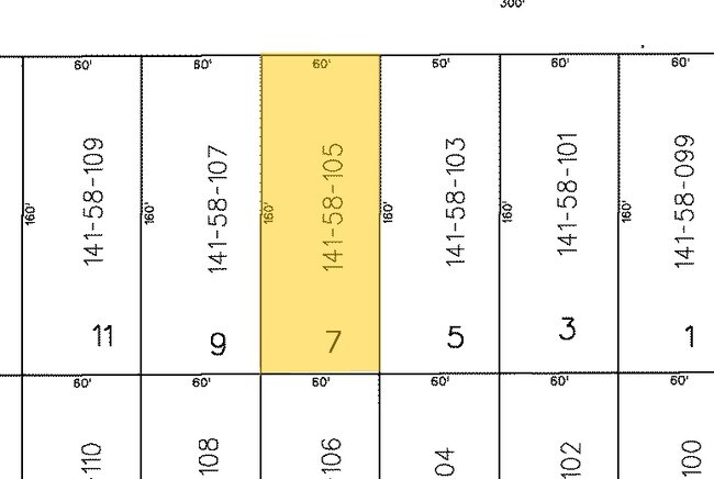
141-58-025
DESERT WELLS AMD MCR 38/03
Commercialacreage
Maricopa
X
Arizona
04013C2295L
12
2025
0.22 AC
2025
Red Mountain/Mesa
422637
Phoenix
10,000 SF
DEMOGRAPHICS near 35 S 67Th St
1 Mile
3 Mile
5 Mile
2024 Total Population
13,668
112,041
289,843
2029 Population
14,921
122,240
315,527
Pop Growth 2024-2029
+ 9.17%
+ 9.10%
+ 8.86%
Average Age
53
48
44
2024 Total Households
6,707
49,989
117,459
HH Growth 2024-2029
+ 9.35%
+ 9.50%
+ 9.29%
Median Household Inc
$53,578
$60,293
$70,050
Avg Household Size
1.90
2.20
2.40
2024 Avg HH Vehicles
1.00
2.00
2.00
Median Home Value
$231,034
$274,525
$331,074
Median Year Built
1983
1987
1992
Nearby Places
Map Layers
Map Styles
 Street
 Aerial
- Restaurants
- Banks
- Shops
- Fitness
- Groceries
PUBLIC TRANSPORTATION
AIRPORT
Phoenix-Mesa Gateway
DRIVE
WALK
Distance
Phoenix-Mesa Gateway
15 min
8.7 mi
Phoenix Sky Harbor International
DRIVE
WALK
Distance
Phoenix Sky Harbor International
33 min
24.6 mi
Freight Ports
Port of San Diego
DRIVE
WALK
Distance
Port of San Diego
421 min
382.7 mi
Nearby Properties
Address
Land Use
TOTAL SIZE
Lot Size
Zoning
Address
Land Use
TOTAL SIZE
Lot Size
Zoning
1,522,034 SF
32.67 AC
C-N
Address
Land Use
TOTAL SIZE
Lot Size
Zoning
53,910 SF
4.98 AC
C-G
Address
Land Use
TOTAL SIZE
Lot Size
Zoning
57.25 AC
PF
Address
Land Use
TOTAL SIZE
Lot Size
Zoning
324,534 SF
50.86 AC
PF
Address
Land Use
TOTAL SIZE
Lot Size
Zoning
271,098 SF
142.75 AC
PF
Address
Land Use
TOTAL SIZE
Lot Size
Zoning
279,338 SF
39.90 AC
PF
Address
Land Use
TOTAL SIZE
Lot Size
Zoning
18.75 AC
PF
Address
Land Use
TOTAL SIZE
Lot Size
Zoning
711,933 SF
45.84 AC
Address
Land Use
TOTAL SIZE
Lot Size
Zoning
122,042 SF
15.79 AC
PF
Address
Land Use
TOTAL SIZE
Lot Size
Zoning
129,201 SF
24.65 AC
LI
Address
Land Use
TOTAL SIZE
Lot Size
Zoning
160,296 SF
33.63 AC
PF
Address
Land Use
TOTAL SIZE
Lot Size
Zoning
269,763 SF
17.49 AC
M-H
Address
Land Use
TOTAL SIZE
Lot Size
Zoning
344,619 SF
13.85 AC
M-H
Address
Land Use
TOTAL SIZE
Lot Size
Zoning
140,141 SF
37.70 AC
PF
Address
Land Use
TOTAL SIZE
Lot Size
Zoning
425,158 SF
23.71 AC
M-H
Address
Land Use
TOTAL SIZE
Lot Size
Zoning
307,545 SF
17.61 AC
M-H
Address
Land Use
TOTAL SIZE
Lot Size
Zoning
219,041 SF
5.71 AC
I-1
Address
Land Use
TOTAL SIZE
Lot Size
Zoning
8.82 AC
Address
Land Use
TOTAL SIZE
Lot Size
Zoning
1.61 AC
LC
Address
Land Use
TOTAL SIZE
Lot Size
Zoning
82,772 SF
131.12 AC
PF
Address
Land Use
TOTAL SIZE
Lot Size
Zoning
267,380 SF
17.08 AC
M-H
Address
Land Use
TOTAL SIZE
Lot Size
Zoning
225,660 SF
10.36 AC
M-H
Address
Land Use
TOTAL SIZE
Lot Size
Zoning
203,722 SF
11.73 AC
C-G
Address
Land Use
TOTAL SIZE
Lot Size
Zoning
7.90 AC
Address
Land Use
TOTAL SIZE
Lot Size
Zoning
190,630 SF
6.61 AC
M-H
Address
Land Use
TOTAL SIZE
Lot Size
Zoning
256,284 SF
11.42 AC
M-H
Address
Land Use
TOTAL SIZE
Lot Size
Zoning
187,297 SF
3.99 AC
R-9
Address
Land Use
TOTAL SIZE
Lot Size
Zoning
7.26 AC
Address
Land Use
TOTAL SIZE
Lot Size
Zoning
94,209 SF
14.93 AC
C-G
Address
Land Use
TOTAL SIZE
Lot Size
Zoning
3,545 SF
1.14 AC
C-G
The World's #1 Commercial Real Estate Marketplace
Connect with us
© 2026 CoStar Group
The information above has been obtained from sources believed reliable. While we do not doubt its accuracy we have not verified it and make no guarantee, warranty or representation about it. It is your responsibility to independently confirm its accuracy and completeness. Any projections, opinions, assumptions, or estimates used are for example only and do not represent the current or future performance of the property. The value of this transaction to you depends on tax and other factors which should be evaluated by your tax, financial, and legal advisors. You and your advisors should conduct a careful, independent investigation of the property to determine to your satisfaction the suitability of the property for your needs.