Property Record
35 Wilcox Rd, Tryon, NC 28782


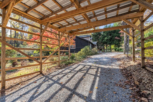

This Property Is For Sale
NEARBY LISTINGS FOR SALE OR LEASE
-
-
View all Tryon listings for sale on LoopNet.com
Property Detail
35 Wilcox Rd
T10-A13
Tryon Area 60
Sfr
T10B, 0T60 TRYON AREA 60
X
Polk
45083C0005D
North Carolina
2025
0.24 AC
2025
North Carolina West/Cherokee Area
920304
Other Market Areas
1,062 SF
DEMOGRAPHICS near 35 Wilcox Rd
1 mile
3 mile
5 mile
2024 Total Population
1,879
6,371
13,548
2029 Population
1,972
6,706
14,508
Pop Growth 2024-2029
+ 4.95%
+ 5.26%
+ 7.09%
Average Age
53
52
49
2024 Total Households
973
3,002
6,120
HH Growth 2024-2029
+ 4.93%
+ 5.23%
+ 7.03%
Median Household Inc
$54,567
$61,521
$64,214
Avg Household Size
1.90
2.00
2.10
2024 Avg HH Vehicles
2.00
2.00
2.00
Median Home Value
$264,150
$323,529
$303,412
Median Year Built
1975
1978
1980
Nearby Places
Map Layers
Map Styles
 Street
 Aerial
Transit
 Traffic
 Biking
Places
Listings with unknown addresses are not visible on the map
- Restaurants
- Banks
- Shops
- Fitness
- Groceries
PUBLIC TRANSPORTATION
AIRPORT
Greenville Spartanburg International
Drive
Walk
Distance
Greenville Spartanburg International
44 min
25.7 mi
Asheville Regional
Drive
Walk
Distance
Asheville Regional
41 min
30.6 mi
Nearby Properties
Address
Land Use
TOTAL SIZE
Lot Size
Zoning
Address
Land Use
TOTAL SIZE
Lot Size
Zoning
68,155 SF
63.56 AC
MX
Address
Land Use
TOTAL SIZE
Lot Size
Zoning
92,600 SF
15.84 AC
MX
Address
Land Use
TOTAL SIZE
Lot Size
Zoning
13 AC
M
Address
Land Use
TOTAL SIZE
Lot Size
Zoning
450.29 AC
Address
Land Use
TOTAL SIZE
Lot Size
Zoning
134.99 AC
R75
Address
Land Use
TOTAL SIZE
Lot Size
Zoning
16,744 SF
7.58 AC
M
Address
Land Use
TOTAL SIZE
Lot Size
Zoning
8,095 SF
0.53 AC
M
Address
Land Use
TOTAL SIZE
Lot Size
Zoning
14,926 SF
4.48 AC
M
Address
Land Use
TOTAL SIZE
Lot Size
Zoning
289.30 AC
UNZONED
Address
Land Use
TOTAL SIZE
Lot Size
Zoning
4,579 SF
68 AC
RE5
Address
Land Use
TOTAL SIZE
Lot Size
Zoning
6,735 SF
8.20 AC
M
Address
Land Use
TOTAL SIZE
Lot Size
Zoning
15,450 SF
3 AC
M
Address
Land Use
TOTAL SIZE
Lot Size
Zoning
19,039 SF
3.16 AC
M
Address
Land Use
TOTAL SIZE
Lot Size
Zoning
2,796 SF
7.95 AC
M
Address
Land Use
TOTAL SIZE
Lot Size
Zoning
12,662 SF
4 AC
M
Address
Land Use
TOTAL SIZE
Lot Size
Zoning
8,986 SF
1.15 AC
M
Address
Land Use
TOTAL SIZE
Lot Size
Zoning
7,204 SF
5.25 AC
M
Address
Land Use
TOTAL SIZE
Lot Size
Zoning
6,688 SF
1.25 AC
M
Address
Land Use
TOTAL SIZE
Lot Size
Zoning
4,368 SF
3.71 AC
M
Address
Land Use
TOTAL SIZE
Lot Size
Zoning
14,016 SF
3.88 AC
M
Address
Land Use
TOTAL SIZE
Lot Size
Zoning
28.12 AC
M
Address
Land Use
TOTAL SIZE
Lot Size
Zoning
318.36 AC
MX
Address
Land Use
TOTAL SIZE
Lot Size
Zoning
7,316 SF
3.01 AC
M
Address
Land Use
TOTAL SIZE
Lot Size
Zoning
6,443 SF
0.72 AC
M
Address
Land Use
TOTAL SIZE
Lot Size
Zoning
3,462 SF
24.05 AC
RE5
Address
Land Use
TOTAL SIZE
Lot Size
Zoning
4,117 SF
1.57 AC
R
Address
Land Use
TOTAL SIZE
Lot Size
Zoning
299 SF
116.95 AC
UNZONED
Address
Land Use
TOTAL SIZE
Lot Size
Zoning
5,516 SF
36.36 AC
RE5
Address
Land Use
TOTAL SIZE
Lot Size
Zoning
1,455 SF
66.84 AC
M
Address
Land Use
TOTAL SIZE
Lot Size
Zoning
37.24 AC
M
The World's #1 Commercial Real Estate Marketplace
Connect with us
© 2026 CoStar Group
The information above has been obtained from sources believed reliable. While we do not doubt its accuracy we have not verified it and make no guarantee, warranty or representation about it. It is your responsibility to independently confirm its accuracy and completeness. Any projections, opinions, assumptions, or estimates used are for example only and do not represent the current or future performance of the property. The value of this transaction to you depends on tax and other factors which should be evaluated by your tax, financial, and legal advisors. You and your advisors should conduct a careful, independent investigation of the property to determine to your satisfaction the suitability of the property for your needs.