Property Record
350 N Orchard Ave, Ukiah, CA 95482


NEARBY LISTINGS FOR SALE OR LEASE
Property Detail
350 N Orchard Ave
Ukiah, CA
WAS 002-137-18, 002-137-19, 002-137-23, 002-137-24, 002-370-01, 002-370-02, 002-370-03, 002-370-04, 002-370-05, 002-370-06, 002-370-07, 002-370-12, 002-370-13, 002-370-14, 002-370-15, 002-370-16, 002-370-17
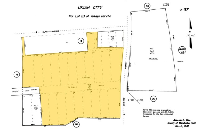
002-370-26-00
Mendocino
Storebuilding
California
X
26
06045C1514F
10.23 AC
2024
California North Rural Area
2025
Other Market Areas
011502
DEMOGRAPHICS near 350 N Orchard Ave
1 Mile
3 Mile
5 Mile
2024 Total Population
10,730
27,890
31,793
2029 Population
10,659
27,602
31,448
Pop Growth 2024-2029
(0.66%)
(1.03%)
(1.09%)
Average Age
40
40
40
2024 Total Households
4,285
10,661
12,029
HH Growth 2024-2029
(0.56%)
(0.92%)
(0.97%)
Median Household Inc
$53,991
$64,251
$64,589
Avg Household Size
2.40
2.50
2.50
2024 Avg HH Vehicles
2.00
2.00
2.00
Median Home Value
$397,871
$456,452
$456,998
Median Year Built
1970
1972
1972
Nearby Places
Map Layers
Map Styles
 Street
 Aerial
- Restaurants
- Banks
- Shops
- Fitness
- Groceries
SALE & LEASE HISTORY
LISTING DATE
SALE/LEASE

Sep 26, 2024
For Sale
Nearby Properties
Address
Land Use
TOTAL SIZE
Lot Size
Zoning
Address
Land Use
TOTAL SIZE
Lot Size
Zoning
6.21 AC
CM
Address
Land Use
TOTAL SIZE
Lot Size
Zoning
Address
Land Use
TOTAL SIZE
Lot Size
Zoning
8.39 AC
Address
Land Use
TOTAL SIZE
Lot Size
Zoning
12.25 AC
Address
Land Use
TOTAL SIZE
Lot Size
Zoning
Address
Land Use
TOTAL SIZE
Lot Size
Zoning
31.76 AC
I
Address
Land Use
TOTAL SIZE
Lot Size
Zoning
13.44 AC
PD
Address
Land Use
TOTAL SIZE
Lot Size
Zoning
4.50 AC
C
Address
Land Use
TOTAL SIZE
Lot Size
Zoning
8.75 AC
Address
Land Use
TOTAL SIZE
Lot Size
Zoning
0.89 AC
C1
Address
Land Use
TOTAL SIZE
Lot Size
Zoning
4.12 AC
Address
Land Use
TOTAL SIZE
Lot Size
Zoning
69,689 SF
9 AC
Address
Land Use
TOTAL SIZE
Lot Size
Zoning
1.50 AC
Address
Land Use
TOTAL SIZE
Lot Size
Zoning
1.38 AC
PD
Address
Land Use
TOTAL SIZE
Lot Size
Zoning
20.49 AC
Address
Land Use
TOTAL SIZE
Lot Size
Zoning
3.83 AC
R3
Address
Land Use
TOTAL SIZE
Lot Size
Zoning
2.62 AC
CM
Address
Land Use
TOTAL SIZE
Lot Size
Zoning
4 AC
C
Address
Land Use
TOTAL SIZE
Lot Size
Zoning
4.04 AC
SR
Address
Land Use
TOTAL SIZE
Lot Size
Zoning
2.55 AC
C
Address
Land Use
TOTAL SIZE
Lot Size
Zoning
2.81 AC
Address
Land Use
TOTAL SIZE
Lot Size
Zoning
16.42 AC
R3
Address
Land Use
TOTAL SIZE
Lot Size
Zoning
2.19 AC
C1
Address
Land Use
TOTAL SIZE
Lot Size
Zoning
1.13 AC
C
Address
Land Use
TOTAL SIZE
Lot Size
Zoning
Address
Land Use
TOTAL SIZE
Lot Size
Zoning
5 AC
I2
Address
Land Use
TOTAL SIZE
Lot Size
Zoning
5.14 AC
C
Address
Land Use
TOTAL SIZE
Lot Size
Zoning
Address
Land Use
TOTAL SIZE
Lot Size
Zoning
1.98 AC
CM
The World's #1 Commercial Real Estate Marketplace
Connect with us
© 2025 CoStar Group
The information above has been obtained from sources believed reliable. While we do not doubt its accuracy we have not verified it and make no guarantee, warranty or representation about it. It is your responsibility to independently confirm its accuracy and completeness. Any projections, opinions, assumptions, or estimates used are for example only and do not represent the current or future performance of the property. The value of this transaction to you depends on tax and other factors which should be evaluated by your tax, financial, and legal advisors. You and your advisors should conduct a careful, independent investigation of the property to determine to your satisfaction the suitability of the property for your needs.