Property Record
3505 Navy Dr, Stockton, CA 95203


NEARBY LISTINGS FOR SALE OR LEASE
-
-
View all Stockton listings for sale on LoopNet.com
Property Detail
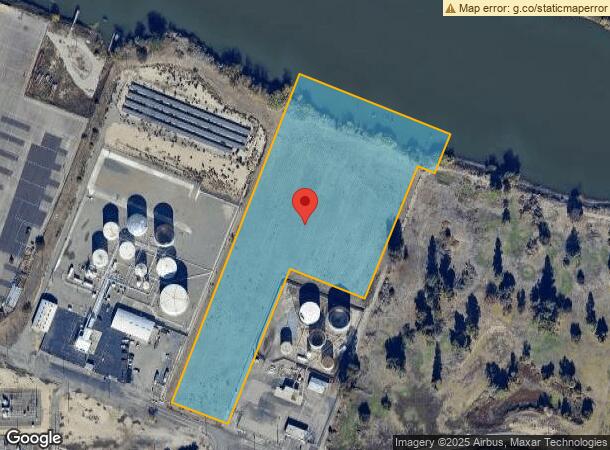
3505 Navy Dr
162-030-03
Rough & Ready Island
Industrialacreage
REDRAWN OCT-16-2000 FROM ORIGINAL APN 161-030-03
AE
San Joaquin
06077C0455F
California
2025
8.46 AC
2025
Stockton
003900
Stockton/Modesto
17,230 SF
Stockton-Lodi, CA
DEMOGRAPHICS near 3505 Navy Dr
1 Mile
3 Mile
5 Mile
2024 Total Population
4,888
77,868
233,478
2029 Population
5,166
82,095
246,216
Pop Growth 2024-2029
+ 5.69%
+ 5.43%
+ 5.46%
Average Age
35
38
36
2024 Total Households
1,637
26,712
74,711
HH Growth 2024-2029
+ 5.74%
+ 5.64%
+ 5.58%
Median Household Inc
$58,602
$70,625
$64,799
Avg Household Size
2.80
2.70
3.00
2024 Avg HH Vehicles
2.00
2.00
2.00
Median Home Value
$346,800
$392,311
$365,019
Median Year Built
1965
1971
1971
Nearby Places
Map Layers
Map Styles
 Street
 Aerial
- Restaurants
- Banks
- Shops
- Fitness
- Groceries
PUBLIC TRANSPORTATION
COMMUTER RAIL
Stockton (San Joaquins - Amtrak)
DRIVE
WALK
Distance
Stockton (San Joaquins - Amtrak)
9 min
4.3 mi
Stockton (ACE Train - Altamont Commuter Express (ACE), Altamont Corridor Express - Altamont Commuter Express (ACE))
DRIVE
WALK
Distance
Stockton (ACE Train - Altamont Commuter Express (ACE), Altamont Corridor Express - Altamont Commuter Express (ACE))
9 min
4.9 mi
AIRPORT
Stockton Metro
DRIVE
WALK
Distance
Stockton Metro
17 min
9.6 mi
Freight Ports
Port of Stockton
DRIVE
WALK
Distance
Port of Stockton
11 min
5.4 mi
Nearby Properties
Address
Land Use
TOTAL SIZE
Lot Size
Zoning
Address
Land Use
TOTAL SIZE
Lot Size
Zoning
30,080 SF
82.44 AC
Address
Land Use
TOTAL SIZE
Lot Size
Zoning
4.78 AC
Address
Land Use
TOTAL SIZE
Lot Size
Zoning
656,200 SF
24.07 AC
IG
Address
Land Use
TOTAL SIZE
Lot Size
Zoning
10,208 SF
47.57 AC
Address
Land Use
TOTAL SIZE
Lot Size
Zoning
22.89 AC
Address
Land Use
TOTAL SIZE
Lot Size
Zoning
328,500 SF
12.27 AC
Address
Land Use
TOTAL SIZE
Lot Size
Zoning
23,112 SF
9.20 AC
Address
Land Use
TOTAL SIZE
Lot Size
Zoning
277,300 SF
13.32 AC
Address
Land Use
TOTAL SIZE
Lot Size
Zoning
82,512 SF
4.14 AC
Address
Land Use
TOTAL SIZE
Lot Size
Zoning
247,850 SF
9.48 AC
Address
Land Use
TOTAL SIZE
Lot Size
Zoning
63,975 SF
6.60 AC
Address
Land Use
TOTAL SIZE
Lot Size
Zoning
23.30 AC
Address
Land Use
TOTAL SIZE
Lot Size
Zoning
97,276 SF
5.46 AC
RHD
Address
Land Use
TOTAL SIZE
Lot Size
Zoning
8,000 SF
0.67 AC
Address
Land Use
TOTAL SIZE
Lot Size
Zoning
190,923 SF
3.96 AC
Address
Land Use
TOTAL SIZE
Lot Size
Zoning
0.79 AC
Address
Land Use
TOTAL SIZE
Lot Size
Zoning
17,573 SF
3.17 AC
Address
Land Use
TOTAL SIZE
Lot Size
Zoning
14,035 SF
10.02 AC
Address
Land Use
TOTAL SIZE
Lot Size
Zoning
77,568 SF
2.58 AC
Address
Land Use
TOTAL SIZE
Lot Size
Zoning
146,660 SF
8.35 AC
Address
Land Use
TOTAL SIZE
Lot Size
Zoning
2,880 SF
36.83 AC
Address
Land Use
TOTAL SIZE
Lot Size
Zoning
39,840 SF
30 AC
Address
Land Use
TOTAL SIZE
Lot Size
Zoning
95,592 SF
3.20 AC
O
Address
Land Use
TOTAL SIZE
Lot Size
Zoning
84,895 SF
2.21 AC
Address
Land Use
TOTAL SIZE
Lot Size
Zoning
64,656 SF
3.55 AC
Address
Land Use
TOTAL SIZE
Lot Size
Zoning
55,228 SF
4.04 AC
Address
Land Use
TOTAL SIZE
Lot Size
Zoning
46,982 SF
2.26 AC
Address
Land Use
TOTAL SIZE
Lot Size
Zoning
59,524 SF
2.69 AC
Address
Land Use
TOTAL SIZE
Lot Size
Zoning
11.58 AC
The World's #1 Commercial Real Estate Marketplace
Connect with us
© 2025 CoStar Group
The information above has been obtained from sources believed reliable. While we do not doubt its accuracy we have not verified it and make no guarantee, warranty or representation about it. It is your responsibility to independently confirm its accuracy and completeness. Any projections, opinions, assumptions, or estimates used are for example only and do not represent the current or future performance of the property. The value of this transaction to you depends on tax and other factors which should be evaluated by your tax, financial, and legal advisors. You and your advisors should conduct a careful, independent investigation of the property to determine to your satisfaction the suitability of the property for your needs.