Property Record
351 E 18Th St, Bloomington, IN 47408
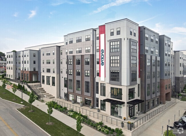
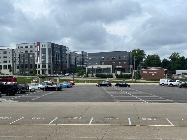
Property Detail
351 E 18Th St
Bloomington, IN
013-16710-01 MILLER COURTS REPLAT LOT 55 (0.72A)
53-05-28-300-180.000-005
MONROE
Apartment
Indiana
B and X Area of moderate flood hazard, usually the area between the limits of the 100-year and 500-year floods.
55
2024
0.68 AC
2025
Downtown Bloomington IN
000802
Other Market Areas
8,700 SF
NEARBY LISTINGS FOR SALE OR LEASE
DEMOGRAPHICS near 351 E 18Th St
1 mile
3 mile
5 mile
2025 Total Population
21,932
76,028
110,997
2030 Population
23,285
77,504
111,236
Pop Growth 2025-2030
+ 6.17%
+ 1.94%
+ 0.22%
Average Age
28
32
35
2025 Total Households
9,401
31,126
45,953
HH Growth 2025-2030
+ 6.80%
+ 2.00%
+ 0.12%
Median Household Inc
$29,054
$42,512
$54,314
Avg Household Size
2.00
2.00
2.10
2025 Avg HH Vehicles
2.00
2.00
2.00
Median Home Value
$305,916
$307,346
$314,467
Median Year Built
2003
1989
1989
Nearby Places
Map Layers
Map Styles
 Street
 Aerial
Transit
 Traffic
 Biking
Places
Listings with unknown addresses are not visible on the map
- Restaurants
- Banks
- Shops
- Fitness
- Groceries
SALE & LEASE HISTORY
LISTING DATE
SALE/LEASE

Feb 28, 2017
For Lease
Nearby Properties
Address
Land Use
TOTAL SIZE
Lot Size
Zoning
Address
Land Use
TOTAL SIZE
Lot Size
Zoning
7,804 SF
7.22 AC
Address
Land Use
TOTAL SIZE
Lot Size
Zoning
442,250 SF
37.15 AC
Address
Land Use
TOTAL SIZE
Lot Size
Zoning
Address
Land Use
TOTAL SIZE
Lot Size
Zoning
13,910 SF
3.86 AC
Address
Land Use
TOTAL SIZE
Lot Size
Zoning
8,107 SF
12.37 AC
Address
Land Use
TOTAL SIZE
Lot Size
Zoning
79,763 SF
12.34 AC
Address
Land Use
TOTAL SIZE
Lot Size
Zoning
8,327 SF
1.64 AC
Address
Land Use
TOTAL SIZE
Lot Size
Zoning
496,556 SF
1.73 AC
Address
Land Use
TOTAL SIZE
Lot Size
Zoning
Address
Land Use
TOTAL SIZE
Lot Size
Zoning
261,278 SF
4.62 AC
Address
Land Use
TOTAL SIZE
Lot Size
Zoning
19,128 SF
24.44 AC
Address
Land Use
TOTAL SIZE
Lot Size
Zoning
10,573 SF
3.28 AC
Address
Land Use
TOTAL SIZE
Lot Size
Zoning
8,064 SF
1.29 AC
Address
Land Use
TOTAL SIZE
Lot Size
Zoning
5,908 SF
19.52 AC
Address
Land Use
TOTAL SIZE
Lot Size
Zoning
53,005 SF
10.03 AC
PUD
Address
Land Use
TOTAL SIZE
Lot Size
Zoning
169,170 SF
0.72 AC
Address
Land Use
TOTAL SIZE
Lot Size
Zoning
4,895 SF
16.61 AC
Address
Land Use
TOTAL SIZE
Lot Size
Zoning
404,051 SF
36.54 AC
Address
Land Use
TOTAL SIZE
Lot Size
Zoning
134,566 SF
0.60 AC
Address
Land Use
TOTAL SIZE
Lot Size
Zoning
30,919 SF
8.91 AC
Address
Land Use
TOTAL SIZE
Lot Size
Zoning
181,798 SF
0.80 AC
Address
Land Use
TOTAL SIZE
Lot Size
Zoning
7,500 SF
0.40 AC
Address
Land Use
TOTAL SIZE
Lot Size
Zoning
8,190 SF
4.22 AC
Address
Land Use
TOTAL SIZE
Lot Size
Zoning
38,208 SF
8.03 AC
Address
Land Use
TOTAL SIZE
Lot Size
Zoning
8,439 SF
18.94 AC
Address
Land Use
TOTAL SIZE
Lot Size
Zoning
17,312 SF
31.90 AC
Address
Land Use
TOTAL SIZE
Lot Size
Zoning
32,737 SF
0.93 AC
Address
Land Use
TOTAL SIZE
Lot Size
Zoning
14,376 SF
11.03 AC
Address
Land Use
TOTAL SIZE
Lot Size
Zoning
18,772 SF
2.69 AC
Address
Land Use
TOTAL SIZE
Lot Size
Zoning
64,139 SF
2.82 AC
The World's #1 Commercial Real Estate Marketplace
Connect with us
© 2026 CoStar Group
The information above has been obtained from sources believed reliable. While we do not doubt its accuracy we have not verified it and make no guarantee, warranty or representation about it. It is your responsibility to independently confirm its accuracy and completeness. Any projections, opinions, assumptions, or estimates used are for example only and do not represent the current or future performance of the property. The value of this transaction to you depends on tax and other factors which should be evaluated by your tax, financial, and legal advisors. You and your advisors should conduct a careful, independent investigation of the property to determine to your satisfaction the suitability of the property for your needs.