Property Record
351 Webb Rd, Anderson, SC 29621
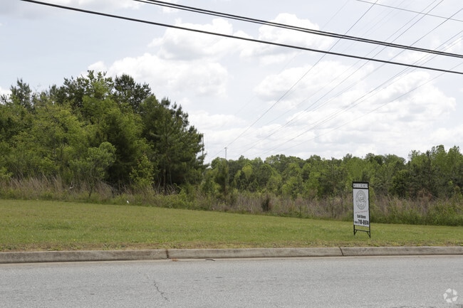

Property Detail
351 Webb Rd
Greenville-Anderson-Greer, SC
CP S 361/09 PP S 82/4A F000 D000 PP 082/621 WEBB RD 17.04 AC
169-00-06-003
ANDERSON
Commercialacreage
South Carolina
B and X Area of moderate flood hazard, usually the area between the limits of the 100-year and 500-year floods.
17.04 AC
2025
Anderson County
2024
Greenville/Spartanburg
011203
NEARBY LISTINGS FOR SALE OR LEASE
-
-
View all Anderson listings for sale on LoopNet.com
DEMOGRAPHICS near 351 Webb Rd
1 mile
3 mile
5 mile
2024 Total Population
285
5,531
20,572
2029 Population
303
5,863
21,707
Pop Growth 2024-2029
+ 6.32%
+ 6.00%
+ 5.52%
Average Age
41
41
41
2024 Total Households
100
1,991
7,586
HH Growth 2024-2029
+ 7.00%
+ 6.23%
+ 5.79%
Median Household Inc
$101,667
$97,096
$88,455
Avg Household Size
2.80
2.80
2.70
2024 Avg HH Vehicles
3.00
2.00
2.00
Median Home Value
$434,000
$402,461
$337,886
Median Year Built
2007
2005
1998
Nearby Places
Map Layers
Map Styles
 Street
 Aerial
Transit
 Traffic
 Biking
Places
Listings with unknown addresses are not visible on the map
- Restaurants
- Banks
- Shops
- Fitness
- Groceries
PUBLIC TRANSPORTATION
AIRPORT
Greenville Spartanburg International
Drive
Walk
Distance
Greenville Spartanburg International
42 min
31.5 mi
Freight Ports
North Charleston Terminal
Drive
Walk
Distance
North Charleston Terminal
246 min
218.1 mi
SALE & LEASE HISTORY
LISTING DATE
SALE/LEASE

Sep 24, 2016
For Sale
Jan 10, 2017
For Sale
Nearby Properties
Address
Land Use
TOTAL SIZE
Lot Size
Zoning
Address
Land Use
TOTAL SIZE
Lot Size
Zoning
109.52 AC
Address
Land Use
TOTAL SIZE
Lot Size
Zoning
41.61 AC
Address
Land Use
TOTAL SIZE
Lot Size
Zoning
89.88 AC
Address
Land Use
TOTAL SIZE
Lot Size
Zoning
59.13 AC
Address
Land Use
TOTAL SIZE
Lot Size
Zoning
29.70 AC
Address
Land Use
TOTAL SIZE
Lot Size
Zoning
6.12 AC
Address
Land Use
TOTAL SIZE
Lot Size
Zoning
4.63 AC
Address
Land Use
TOTAL SIZE
Lot Size
Zoning
33.41 AC
Address
Land Use
TOTAL SIZE
Lot Size
Zoning
46,659 SF
2 AC
Address
Land Use
TOTAL SIZE
Lot Size
Zoning
45,085 SF
6.96 AC
Address
Land Use
TOTAL SIZE
Lot Size
Zoning
16.80 AC
Address
Land Use
TOTAL SIZE
Lot Size
Zoning
34,568 SF
1.85 AC
Address
Land Use
TOTAL SIZE
Lot Size
Zoning
3,835 SF
2.98 AC
Address
Land Use
TOTAL SIZE
Lot Size
Zoning
1,328 SF
11.31 AC
Address
Land Use
TOTAL SIZE
Lot Size
Zoning
41.95 AC
Address
Land Use
TOTAL SIZE
Lot Size
Zoning
2,420 SF
48.50 AC
Address
Land Use
TOTAL SIZE
Lot Size
Zoning
32,679 SF
15.75 AC
Address
Land Use
TOTAL SIZE
Lot Size
Zoning
1,884 SF
3.87 AC
Address
Land Use
TOTAL SIZE
Lot Size
Zoning
5,248 SF
7.03 AC
Address
Land Use
TOTAL SIZE
Lot Size
Zoning
12,149 SF
8.91 AC
Address
Land Use
TOTAL SIZE
Lot Size
Zoning
943 SF
0.92 AC
Address
Land Use
TOTAL SIZE
Lot Size
Zoning
4,632 SF
2.43 AC
Address
Land Use
TOTAL SIZE
Lot Size
Zoning
7,200 SF
3.70 AC
Address
Land Use
TOTAL SIZE
Lot Size
Zoning
9,149 SF
1.82 AC
Address
Land Use
TOTAL SIZE
Lot Size
Zoning
9,508 SF
2.57 AC
Address
Land Use
TOTAL SIZE
Lot Size
Zoning
1.79 AC
Address
Land Use
TOTAL SIZE
Lot Size
Zoning
33,680 SF
3.28 AC
Address
Land Use
TOTAL SIZE
Lot Size
Zoning
17.63 AC
The World's #1 Commercial Real Estate Marketplace
Connect with us
© 2026 CoStar Group
The information above has been obtained from sources believed reliable. While we do not doubt its accuracy we have not verified it and make no guarantee, warranty or representation about it. It is your responsibility to independently confirm its accuracy and completeness. Any projections, opinions, assumptions, or estimates used are for example only and do not represent the current or future performance of the property. The value of this transaction to you depends on tax and other factors which should be evaluated by your tax, financial, and legal advisors. You and your advisors should conduct a careful, independent investigation of the property to determine to your satisfaction the suitability of the property for your needs.